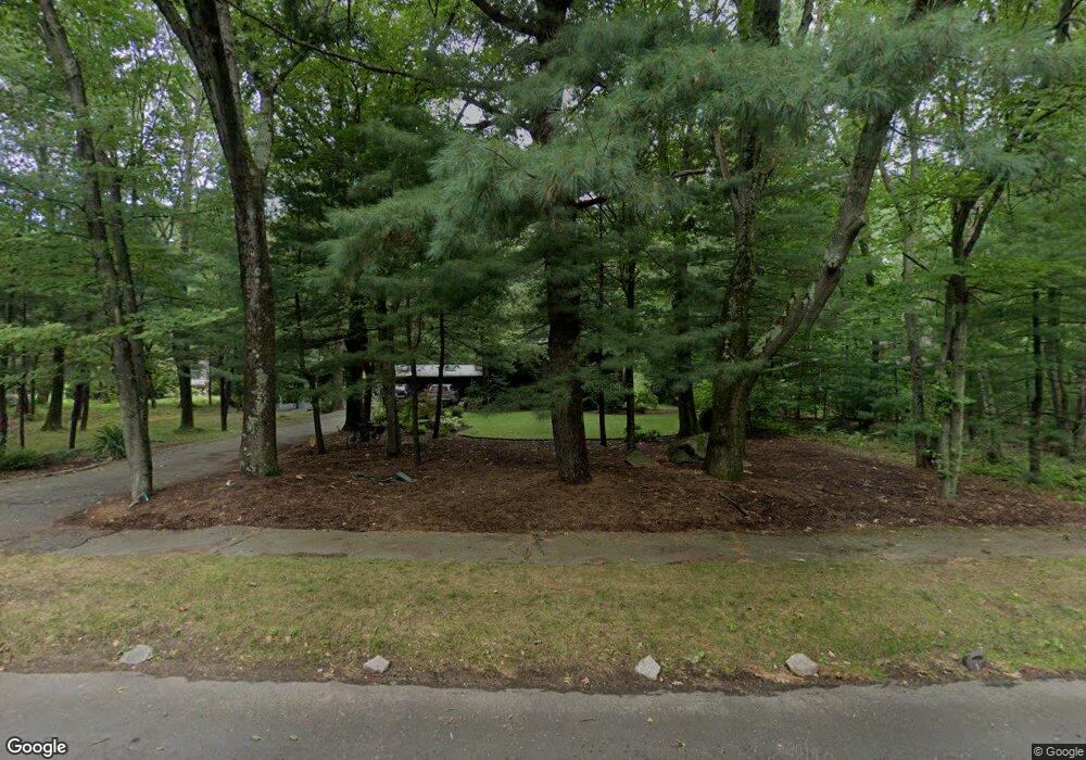
14 Partridge Rd Lexington, MA 02420
North Lexington NeighborhoodEstimated Value: $1,350,000 - $1,550,472
4
Beds
2
Baths
1,404
Sq Ft
$1,032/Sq Ft
Est. Value
About This Home
This home is located at 14 Partridge Rd, Lexington, MA 02420 and is currently estimated at $1,449,618, approximately $1,032 per square foot. 14 Partridge Rd is a home located in Middlesex County with nearby schools including Joseph Estabrook Elementary School, William Diamond Middle School, and Lexington High School.
Ownership History
Date
Name
Owned For
Owner Type
Purchase Details
Closed on
May 14, 2024
Sold by
Silverston Rt and Silverston
Bought by
Silverston Jay M and Silverston Carol B
Current Estimated Value
Home Financials for this Owner
Home Financials are based on the most recent Mortgage that was taken out on this home.
Original Mortgage
$1,724,738
Outstanding Balance
$1,721,882
Interest Rate
6.63%
Mortgage Type
Adjustable Rate Mortgage/ARM
Estimated Equity
-$272,264
Purchase Details
Closed on
Apr 15, 2015
Sold by
Silverston Carol B
Bought by
Silverston Rt
Create a Home Valuation Report for This Property
The Home Valuation Report is an in-depth analysis detailing your home's value as well as a comparison with similar homes in the area
Home Values in the Area
Average Home Value in this Area
Purchase History
| Date | Buyer | Sale Price | Title Company |
|---|---|---|---|
| Silverston Jay M | -- | None Available | |
| Silverston Jay M | -- | None Available | |
| Silverston Rt | -- | -- | |
| Silverston Rt | -- | -- |
Source: Public Records
Mortgage History
| Date | Status | Borrower | Loan Amount |
|---|---|---|---|
| Open | Silverston Jay M | $1,724,738 | |
| Closed | Silverston Jay M | $1,724,738 | |
| Closed | Silverston Jay M | $1,724,738 | |
| Previous Owner | Silverston Rt | $222,000 |
Source: Public Records
Tax History Compared to Growth
Tax History
| Year | Tax Paid | Tax Assessment Tax Assessment Total Assessment is a certain percentage of the fair market value that is determined by local assessors to be the total taxable value of land and additions on the property. | Land | Improvement |
|---|---|---|---|---|
| 2025 | $16,486 | $1,348,000 | $786,000 | $562,000 |
| 2024 | $15,153 | $1,237,000 | $749,000 | $488,000 |
| 2023 | $14,638 | $1,126,000 | $681,000 | $445,000 |
| 2022 | $13,565 | $983,000 | $619,000 | $364,000 |
| 2021 | $13,584 | $944,000 | $590,000 | $354,000 |
| 2020 | $13,474 | $959,000 | $590,000 | $369,000 |
| 2019 | $12,962 | $918,000 | $562,000 | $356,000 |
| 2018 | $12,627 | $883,000 | $535,000 | $348,000 |
| 2017 | $12,070 | $833,000 | $505,000 | $328,000 |
| 2016 | $11,636 | $797,000 | $480,000 | $317,000 |
| 2015 | $11,219 | $755,000 | $436,000 | $319,000 |
| 2014 | $10,175 | $656,000 | $393,000 | $263,000 |
Source: Public Records
Map
Nearby Homes
- 18 Robinson Rd
- 125 Burlington St
- 101 Burlington St
- 25 Flintlock Rd
- 3a Nowers Rd
- 18 Heritage Dr
- 103 N Hancock St
- 17 Hamilton Rd
- 231 Bedford St
- 3 Brown Rd
- 83 Winter St
- 36 Adams St
- 92 Muller Rd
- 12 Coolidge Ave
- 162 North St
- 23 Burroughs Rd
- 9 Woodside Ln
- 23 Thoreau Rd
- 24 Vaille Ave
- 225 Middlesex Turnpike Unit 109
- 18 Partridge Rd
- 12 Partridge Rd
- 15 Partridge Rd
- 17 Partridge Rd
- 22 Partridge Rd
- 20 Partridge Rd
- 19 Partridge Rd
- 8 Partridge Rd
- 11 Partridge Rd
- 24 Partridge Rd
- 21 Partridge Rd
- 9 Partridge Rd
- 6 Partridge Rd
- 26 Partridge Rd
- 23 Partridge Rd
- 7 Partridge Rd
- 4 Partridge Rd
- 2 Partridge Rd
- 19 Turning Mill Rd
- 25 Partridge Rd