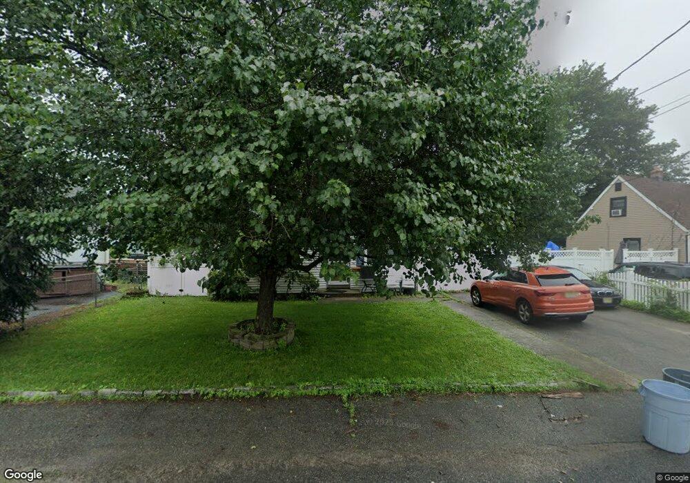
14 Paul Place Haskell, NJ 07420
Estimated Value: $404,000 - $470,000
4
Beds
2
Baths
1,056
Sq Ft
$424/Sq Ft
Est. Value
About This Home
This home is located at 14 Paul Place, Haskell, NJ 07420 and is currently estimated at $447,543, approximately $423 per square foot. 14 Paul Place is a home located in Passaic County with nearby schools including Lakeland Reg High School and St Marys School.
Ownership History
Date
Name
Owned For
Owner Type
Purchase Details
Closed on
Dec 2, 2016
Sold by
Fannie Mae
Bought by
Cricoli Domenico P
Current Estimated Value
Home Financials for this Owner
Home Financials are based on the most recent Mortgage that was taken out on this home.
Original Mortgage
$146,700
Interest Rate
4.08%
Mortgage Type
New Conventional
Purchase Details
Closed on
Sep 15, 2015
Sold by
Dela Victoria Clarizel C and Dela Victoria Teddy
Bought by
1St 2Nd Mortgage Co Of Nj Inc
Purchase Details
Closed on
Sep 26, 2003
Sold by
Butera Joe
Bought by
Dela Victoria Ted and Camarote Clarizel
Home Financials for this Owner
Home Financials are based on the most recent Mortgage that was taken out on this home.
Original Mortgage
$241,300
Interest Rate
6.25%
Create a Home Valuation Report for This Property
The Home Valuation Report is an in-depth analysis detailing your home's value as well as a comparison with similar homes in the area
Home Values in the Area
Average Home Value in this Area
Purchase History
| Date | Buyer | Sale Price | Title Company |
|---|---|---|---|
| Cricoli Domenico P | $163,000 | Fortune Title Agency Inc | |
| 1St 2Nd Mortgage Co Of Nj Inc | $283,229 | None Available | |
| Dela Victoria Ted | $254,000 | -- |
Source: Public Records
Mortgage History
| Date | Status | Borrower | Loan Amount |
|---|---|---|---|
| Previous Owner | Cricoli Domenico P | $146,700 | |
| Previous Owner | Dela Victoria Ted | $241,300 |
Source: Public Records
Tax History
| Year | Tax Paid | Tax Assessment Tax Assessment Total Assessment is a certain percentage of the fair market value that is determined by local assessors to be the total taxable value of land and additions on the property. | Land | Improvement |
|---|---|---|---|---|
| 2025 | $7,604 | $176,300 | $99,800 | $76,500 |
| 2024 | $7,452 | $176,300 | $99,800 | $76,500 |
Source: Public Records
Map
Nearby Homes
- 86 Burnside Place
- 38 Wanaque Ave
- 72 Burnside Place
- 17 Locust St
- 5 Storms Place
- 1025 Ringwood Ave
- 9116 Warrens Way Unit 116
- 9116 Warrens Way
- 19 Dogwood Ln Unit 19
- 19 Dogwood Ln Unit U9F
- 23 Dogwood Ln
- 6 Elston Ct
- 10203 Warrens Way Unit 203
- 10203 Warrens Way Unit W/DEEDED GARAGE
- 9312 Warrens Way
- 43 Elston Ct Unit 301
- 29 Evergreen Ave
- 8415 Warrens Way
- 24 Roseland Ave
- 748 Ringwood Ave
- 16 Paul Place
- 87 Burnside Place
- 89 Burnside Place
- 85 Burnside Place
- 12 Paul Place
- 28 Smith Ave
- 17 Paul Place
- 19 Paul Place
- 15 Paul Place
- 21 Paul Place
- 30 Smith Ave
- 13 Paul Place
- 81 Burnside Place
- 25 Smith Ave
- 27 Smith Ave
- 23 Smith Ave
- 11 Paul Place
- 77 Burnside Place
- 88 Burnside Place
- 92 Burnside Place