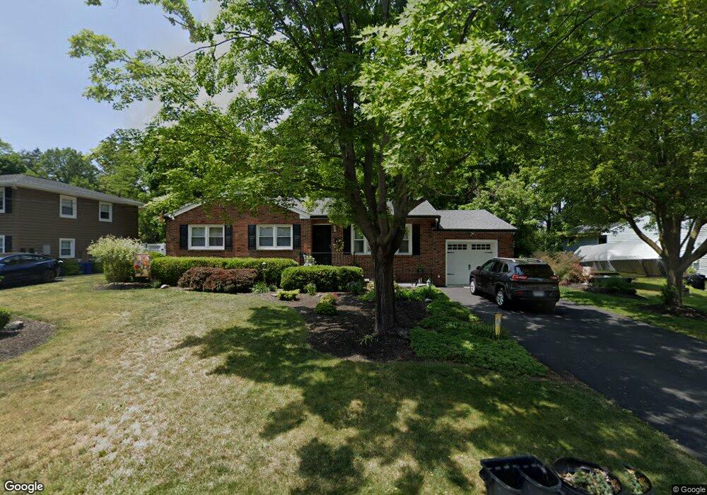
14 Payson Rd Cornwall On Hudson, NY 12520
Estimated Value: $535,000 - $605,000
4
Beds
3
Baths
1,264
Sq Ft
$459/Sq Ft
Est. Value
About This Home
This home is located at 14 Payson Rd, Cornwall On Hudson, NY 12520 and is currently estimated at $580,066, approximately $458 per square foot. 14 Payson Rd is a home located in Orange County with nearby schools including Cornwall Middle School and Congregation Mesifta Ohr Hatalmud.
Ownership History
Date
Name
Owned For
Owner Type
Purchase Details
Closed on
Dec 5, 2003
Sold by
Sullivan Antoinette L
Bought by
Konnaris Sheila
Current Estimated Value
Purchase Details
Closed on
Apr 28, 1999
Sold by
Seward Antoinette
Bought by
Seward Antoinette and Sullivan Richard
Purchase Details
Closed on
Dec 2, 1997
Sold by
Seward Stephen V and Seward Antoinette L
Bought by
Seward Antoinette
Create a Home Valuation Report for This Property
The Home Valuation Report is an in-depth analysis detailing your home's value as well as a comparison with similar homes in the area
Home Values in the Area
Average Home Value in this Area
Purchase History
| Date | Buyer | Sale Price | Title Company |
|---|---|---|---|
| Konnaris Sheila | $339,000 | Daniel J Bloom | |
| Seward Antoinette | -- | -- | |
| Seward Antoinette | -- | -- |
Source: Public Records
Tax History
| Year | Tax Paid | Tax Assessment Tax Assessment Total Assessment is a certain percentage of the fair market value that is determined by local assessors to be the total taxable value of land and additions on the property. | Land | Improvement |
|---|---|---|---|---|
| 2024 | $11,973 | $297,900 | $90,200 | $207,700 |
| 2023 | $11,973 | $297,900 | $90,200 | $207,700 |
| 2022 | $11,885 | $297,900 | $90,200 | $207,700 |
| 2021 | $9,412 | $297,900 | $90,200 | $207,700 |
| 2020 | $8,683 | $297,900 | $90,200 | $207,700 |
| 2019 | $8,463 | $297,900 | $90,200 | $207,700 |
| 2018 | $8,463 | $297,900 | $90,200 | $207,700 |
| 2017 | $8,315 | $297,900 | $90,200 | $207,700 |
| 2016 | $7,926 | $200,100 | $36,600 | $163,500 |
| 2015 | -- | $200,100 | $36,600 | $163,500 |
| 2014 | -- | $200,100 | $36,600 | $163,500 |
Source: Public Records
Map
Nearby Homes
Your Personal Tour Guide
Ask me questions while you tour the home.