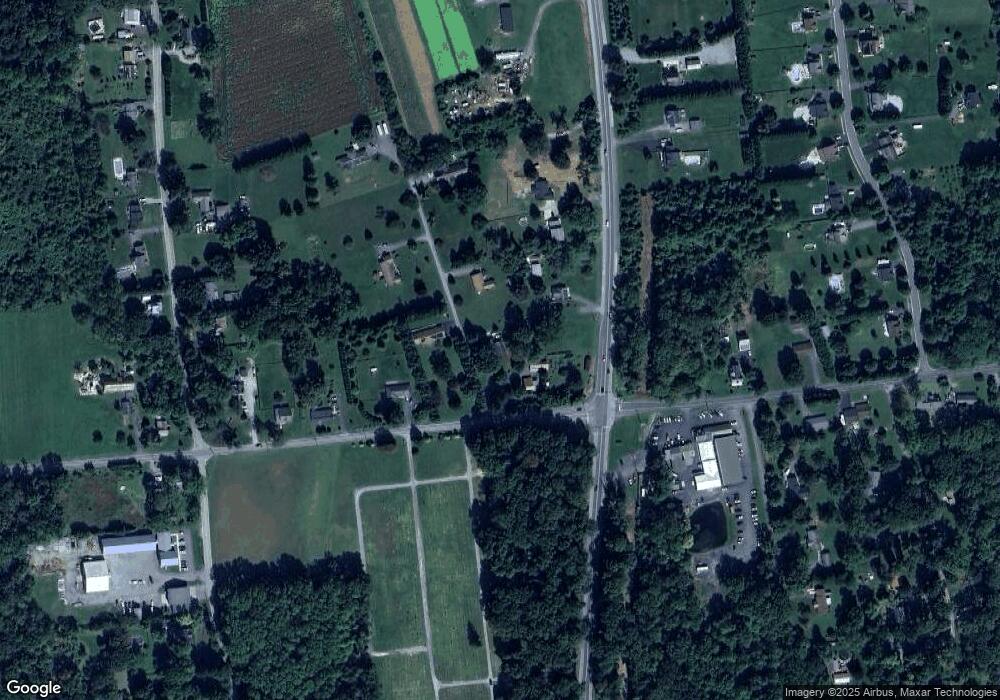
14 Pear Tree Ln Colora, MD 21917
Estimated Value: $291,000 - $349,000
3
Beds
2
Baths
1,176
Sq Ft
$271/Sq Ft
Est. Value
About This Home
This home is located at 14 Pear Tree Ln, Colora, MD 21917 and is currently estimated at $318,738, approximately $271 per square foot. 14 Pear Tree Ln is a home located in Cecil County with nearby schools including Rising Sun Elementary School, Rising Sun Middle School, and Rising Sun High School.
Ownership History
Date
Name
Owned For
Owner Type
Purchase Details
Closed on
Aug 19, 2011
Sold by
Shaw Lollie M
Bought by
Castelletti Stephen M
Current Estimated Value
Home Financials for this Owner
Home Financials are based on the most recent Mortgage that was taken out on this home.
Original Mortgage
$160,621
Outstanding Balance
$110,952
Interest Rate
4.52%
Mortgage Type
New Conventional
Estimated Equity
$207,786
Purchase Details
Closed on
Oct 8, 2002
Sold by
Flagstar Bank Fsb
Bought by
Shaw Louis L and Shaw Lollie M
Purchase Details
Closed on
Feb 26, 2002
Sold by
Fitzgerald Timothy S and Fitzgerald Patricia
Bought by
Flagstar Bank Fsb
Create a Home Valuation Report for This Property
The Home Valuation Report is an in-depth analysis detailing your home's value as well as a comparison with similar homes in the area
Home Values in the Area
Average Home Value in this Area
Purchase History
| Date | Buyer | Sale Price | Title Company |
|---|---|---|---|
| Castelletti Stephen M | $155,000 | Ardent Title Company Llc | |
| Shaw Louis L | $122,500 | -- | |
| Flagstar Bank Fsb | $114,000 | -- |
Source: Public Records
Mortgage History
| Date | Status | Borrower | Loan Amount |
|---|---|---|---|
| Open | Castelletti Stephen M | $160,621 | |
| Closed | Shaw Louis L | -- |
Source: Public Records
Tax History Compared to Growth
Tax History
| Year | Tax Paid | Tax Assessment Tax Assessment Total Assessment is a certain percentage of the fair market value that is determined by local assessors to be the total taxable value of land and additions on the property. | Land | Improvement |
|---|---|---|---|---|
| 2025 | $2,584 | $230,600 | $73,700 | $156,900 |
| 2024 | $2,079 | $216,467 | $0 | $0 |
| 2023 | $1,595 | $202,333 | $0 | $0 |
| 2022 | $2,180 | $188,200 | $73,700 | $114,500 |
| 2021 | $2,136 | $179,967 | $0 | $0 |
| 2020 | $2,041 | $171,733 | $0 | $0 |
| 2019 | $1,946 | $163,500 | $73,700 | $89,800 |
| 2018 | $1,928 | $161,967 | $0 | $0 |
| 2017 | $1,910 | $160,433 | $0 | $0 |
| 2016 | $1,812 | $158,900 | $0 | $0 |
| 2015 | $1,812 | $158,900 | $0 | $0 |
| 2014 | $1,686 | $158,900 | $0 | $0 |
Source: Public Records
Map
Nearby Homes
- Lot 8 White Spruce Way
- 148 Macintosh Dr
- 0 Boyd Dr
- 0 Colora Rd
- 283 Joseph Biggs Memorial Hwy
- 91 Mountain Rd
- 43 Pearl St
- 113 Turtleback Ct
- 27 Haines Ave
- 1964 Conowingo Rd
- 404 Pearl St
- 1 Haines Ave
- 306 Ryan Dr
- 27 Behm Ln
- 6 Manor Ct
- 1741 Liberty Grove Rd
- 1746 Hopewell Rd
- 103 Broad Leaf Ct
- 105 Maple Leaf Dr
- 74 Ayers Dr
- 2617 Liberty Grove Rd
- 34 Pear Tree Ln
- 25 Pear Tree Ln
- 2437 Jacob Tome Memorial Hwy
- 2591 Liberty Grove Rd
- 2449 Tome Hwy
- 2449 Jacob Tome Memorial Hwy
- 37 Pear Tree Ln
- 2455 Jacob Tome Memorial Hwy
- 54 Pear Tree Ln
- 0 Jacob Tome Memorial Hwy Unit MDCC2006718
- 0 Jacob Tome Memorial Hwy Unit MDCC2006696
- 2571 Liberty Grove Rd
- 0 Tome Hwy
- 6 Barnes Corner Rd
- 19 Barnes Corner Rd
- 2561 Liberty Grove Rd
- 65 Pear Tree Ln
- 2464 Jacob Tome Memorial Hwy
- 2553 Liberty Grove Rd Unit 2
