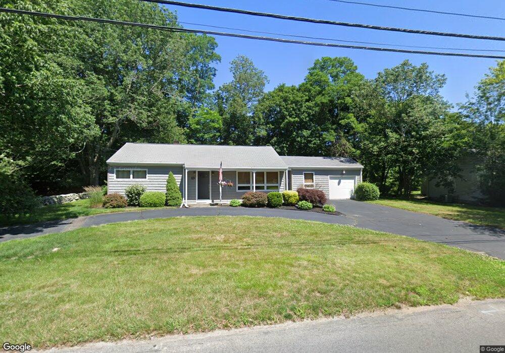
14 Pearse Rd Swansea, MA 02777
Luther Corner NeighborhoodEstimated Value: $377,000 - $509,000
2
Beds
1
Bath
1,376
Sq Ft
$329/Sq Ft
Est. Value
About This Home
This home is located at 14 Pearse Rd, Swansea, MA 02777 and is currently estimated at $453,291, approximately $329 per square foot. 14 Pearse Rd is a home located in Bristol County with nearby schools including Joseph Case High School and Swansea Wood School.
Ownership History
Date
Name
Owned For
Owner Type
Purchase Details
Closed on
Apr 15, 2005
Sold by
Crossley Jane S Est
Bought by
Medeiros Gregg M
Current Estimated Value
Home Financials for this Owner
Home Financials are based on the most recent Mortgage that was taken out on this home.
Original Mortgage
$206,400
Outstanding Balance
$106,511
Interest Rate
5.78%
Mortgage Type
Purchase Money Mortgage
Estimated Equity
$346,780
Create a Home Valuation Report for This Property
The Home Valuation Report is an in-depth analysis detailing your home's value as well as a comparison with similar homes in the area
Home Values in the Area
Average Home Value in this Area
Purchase History
| Date | Buyer | Sale Price | Title Company |
|---|---|---|---|
| Medeiros Gregg M | $258,000 | -- |
Source: Public Records
Mortgage History
| Date | Status | Borrower | Loan Amount |
|---|---|---|---|
| Open | Medeiros Gregg M | $206,400 |
Source: Public Records
Tax History Compared to Growth
Tax History
| Year | Tax Paid | Tax Assessment Tax Assessment Total Assessment is a certain percentage of the fair market value that is determined by local assessors to be the total taxable value of land and additions on the property. | Land | Improvement |
|---|---|---|---|---|
| 2025 | $4,208 | $353,000 | $143,000 | $210,000 |
| 2024 | $4,197 | $350,000 | $143,000 | $207,000 |
| 2023 | $3,972 | $302,500 | $104,500 | $198,000 |
| 2022 | $3,926 | $272,800 | $95,000 | $177,800 |
| 2021 | $3,779 | $241,800 | $106,000 | $135,800 |
| 2020 | $4,080 | $261,900 | $115,300 | $146,600 |
| 2019 | $3,574 | $230,400 | $83,800 | $146,600 |
| 2018 | $3,450 | $225,800 | $84,200 | $141,600 |
| 2017 | $2,999 | $225,800 | $84,200 | $141,600 |
| 2016 | $2,686 | $198,700 | $74,600 | $124,100 |
| 2015 | $2,443 | $186,100 | $74,600 | $111,500 |
| 2014 | $2,409 | $187,600 | $74,600 | $113,000 |
Source: Public Records
Map
Nearby Homes
- 79 Cedar Ave
- 34 Columbia Rd
- 447 Old Warren Rd
- 105 Birchwood Dr
- 46 Magnolia Dr
- 25 Inverness Rd
- 1405 Gar Hwy Unit A
- 20 Sherbourne Ave
- 41 James Ave
- 153 Puffer Ave
- Lot 11 Lynch
- 0 Proprietors Way Unit 73324662
- Lot 10 Lynch
- 196 Coolidge St
- 4 Meadowbrook Ave
- 147 Bushee Rd
- 502 Ocean Grove Ave
- 0 Hortonville Rd Unit 73242268
- 194 Hortonville Rd
- 19 Richard Rd
- 17 Pearse Rd
- 0 Old Warren Rd
- 174 Old Warren Rd
- 174 Old Warren Rd Unit W
- 150 Old Warren Rd
- 0 Maple Ave (Es) L: Unit 70791429
- 40 Pearse Rd
- 37 Pearse Rd
- 136 Old Warren Rd
- 2 Maple Ave
- 7 Maple Ave
- 7 Maple Ave Unit 1
- 138 Old Warren Rd
- 159 Old Warren Rd
- 159 Old Warren Rd Unit 1
- 56 Pearse Rd
- 18 Maple Ave
- 201 Old Warren Rd
- 5 Knights Way Unit 5
- 135 Old Warren Rd