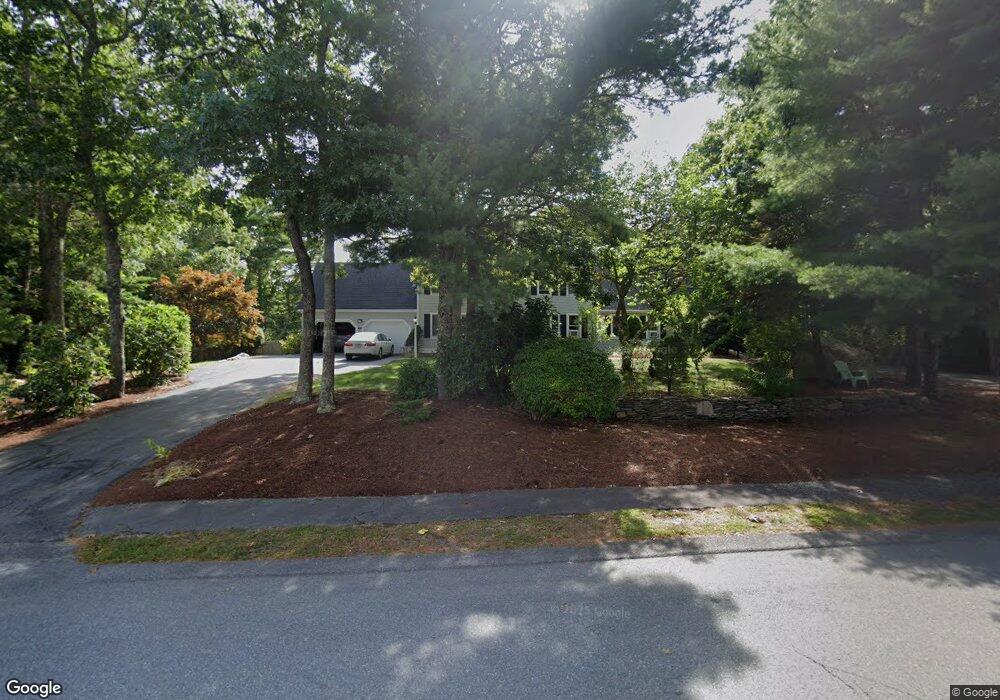
14 Peter Cooper Dr Unit 1 Wareham, MA 02571
6
Beds
4
Baths
3,254
Sq Ft
43,996
Sq Ft Lot
About This Home
This home is located at 14 Peter Cooper Dr Unit 1, Wareham, MA 02571. 14 Peter Cooper Dr Unit 1 is a home located in Plymouth County.
Ownership History
Date
Name
Owned For
Owner Type
Purchase Details
Closed on
Apr 19, 2012
Sold by
First Horizon Home Loa
Bought by
Latham Centers Inc
Purchase Details
Closed on
Aug 30, 2011
Sold by
Brousseau Cesidia and First Horizon Home Loa
Bought by
First Horizon Home Loa
Purchase Details
Closed on
Apr 20, 2005
Sold by
Brousseau Cesidia
Bought by
Brousseau Cesidia and Macdonald Robin Gail
Purchase Details
Closed on
Jan 6, 2003
Sold by
Brousseau Paul J and Brousseau Cesidia
Bought by
Brousseau Cesidia
Purchase Details
Closed on
Sep 4, 2001
Sold by
Kelley Colin H and Kelley Lisa C
Bought by
Brousseau Paul J and Brousseau Cesidia
Purchase Details
Closed on
Jan 28, 1992
Sold by
Real Property Ser Inc
Bought by
Kelley Colin H and Kelley Lisa C
Create a Home Valuation Report for This Property
The Home Valuation Report is an in-depth analysis detailing your home's value as well as a comparison with similar homes in the area
Purchase History
| Date | Buyer | Sale Price | Title Company |
|---|---|---|---|
| Latham Centers Inc | $290,000 | -- | |
| Latham Centers Inc | $290,000 | -- | |
| First Horizon Home Loa | $265,600 | -- | |
| First Horizon Home Loa | $265,600 | -- | |
| Brousseau Cesidia | -- | -- | |
| Brousseau Cesidia | -- | -- | |
| Brousseau Cesidia | -- | -- | |
| Brousseau Cesidia | -- | -- | |
| Brousseau Paul J | $352,000 | -- | |
| Brousseau Paul J | $352,000 | -- | |
| Kelley Colin H | $170,000 | -- |
Source: Public Records
Mortgage History
| Date | Status | Borrower | Loan Amount |
|---|---|---|---|
| Previous Owner | Kelley Colin H | $40,000 |
Source: Public Records
Tax History
| Year | Tax Paid | Tax Assessment Tax Assessment Total Assessment is a certain percentage of the fair market value that is determined by local assessors to be the total taxable value of land and additions on the property. | Land | Improvement |
|---|---|---|---|---|
| 2025 | -- | $732,400 | $141,900 | $590,500 |
| 2024 | -- | $686,100 | $113,800 | $572,300 |
| 2023 | $0 | $608,300 | $103,300 | $505,000 |
| 2022 | $0 | $510,800 | $103,300 | $407,500 |
| 2021 | $0 | $490,600 | $103,300 | $387,300 |
| 2020 | $0 | $463,700 | $103,300 | $360,400 |
| 2019 | $0 | $453,100 | $109,300 | $343,800 |
| 2018 | $0 | $420,000 | $109,300 | $310,700 |
| 2017 | $0 | $400,100 | $109,300 | $290,800 |
| 2016 | -- | $360,700 | $109,800 | $250,900 |
| 2015 | -- | $360,700 | $109,800 | $250,900 |
| 2014 | -- | $415,800 | $119,800 | $296,000 |
Source: Public Records
Map
Nearby Homes
- 10 Oak St
- 7 Cranberry Ln
- 1 Nimrod Way
- 156 Sandwich Rd
- 124 Minot Ave Unit 1
- 12 Oakdale St
- 12 Linwood Ave
- 2743 Cranberry Hwy Unit 5D
- 0 Squaw's Path
- 7 Knowles Ave
- 1 Gibbs Ball Park Rd
- 2697 Cranberry Hwy Unit 21
- 2838 Cranberry Hwy
- 391 Onset Ave
- 10 Dowd Ave
- 119 Squaws Path
- 2711 Cranberry Hwy
- 15 Broadmarsh Ave
- 6 Allen Ave
- 9 Old Glen Charlie Rd
- 14 Peter Cooper Dr
- 16 Peter Cooper Dr
- 12 Peter Cooper Dr
- 13 Peter Cooper Dr
- 15 Peter Cooper Dr
- 18 Peter Cooper Dr
- 11 Peter Cooper Dr
- 10 Peter Cooper Dr
- 5 Peter's Way
- 8 Peter Cooper Dr
- 9 Peter Cooper Dr
- 6 Peter Cooper Dr
- 7 Peter Cooper Dr
- 4 Peter Cooper Dr
- 5 Peter Cooper Dr
- 6 Oak Terrace
- 6 Oak Terrace
- 36 Oak St
- 40 Oak St
- 44 Oak St
Your Personal Tour Guide
Ask me questions while you tour the home.