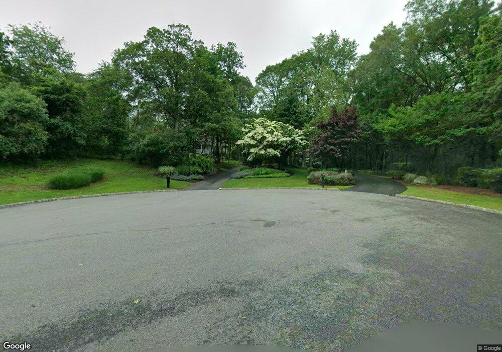
14 Peter Dr Hackettstown, NJ 07840
Estimated Value: $825,374 - $1,039,000
Studio
--
Bath
4,439
Sq Ft
$208/Sq Ft
Est. Value
About This Home
This home is located at 14 Peter Dr, Hackettstown, NJ 07840 and is currently estimated at $922,594, approximately $207 per square foot. 14 Peter Dr is a home located in Warren County with nearby schools including Mountain Villa School and Allamuchy Township Elementary School.
Ownership History
Date
Name
Owned For
Owner Type
Purchase Details
Closed on
Sep 6, 2006
Sold by
Johnson William and Johnson Sharon P
Bought by
Lehneis Walter and Lehneis Renee
Current Estimated Value
Home Financials for this Owner
Home Financials are based on the most recent Mortgage that was taken out on this home.
Original Mortgage
$598,050
Outstanding Balance
$343,386
Interest Rate
6.25%
Mortgage Type
Purchase Money Mortgage
Estimated Equity
$579,208
Purchase Details
Closed on
Jul 2, 2002
Sold by
Panetta & Johnson Inc
Bought by
Johnson William and Johnson Sharon P
Create a Home Valuation Report for This Property
The Home Valuation Report is an in-depth analysis detailing your home's value as well as a comparison with similar homes in the area
Home Values in the Area
Average Home Value in this Area
Purchase History
| Date | Buyer | Sale Price | Title Company |
|---|---|---|---|
| Lehneis Walter | $782,500 | None Available | |
| Johnson William | -- | -- |
Source: Public Records
Mortgage History
| Date | Status | Borrower | Loan Amount |
|---|---|---|---|
| Open | Lehneis Walter | $598,050 |
Source: Public Records
Tax History
| Year | Tax Paid | Tax Assessment Tax Assessment Total Assessment is a certain percentage of the fair market value that is determined by local assessors to be the total taxable value of land and additions on the property. | Land | Improvement |
|---|---|---|---|---|
| 2025 | $17,241 | $537,100 | $133,600 | $403,500 |
| 2024 | $16,939 | $537,100 | $133,600 | $403,500 |
Source: Public Records
Map
Nearby Homes
- 81 Ridge Rd
- 42 Mockingbird
- 17 Bowers Dr
- 9 Killdeer Dr
- 30 Cardinal Rd
- 109 Goldfinch Dr
- 108 Goldfinch Meadows
- 2 Fern Dr
- 9 Poplar Ct
- 3-A Old Bilby Rd
- 14 Golden Crowned Kinglet Unit 7
- 220 Harvard Dr
- 189 Kemper Ct
- 17 Alexanders Rd
- 18 Blazingstar Way
- 335 Carnegie Ct
- 29 Blazingstar Way
- 5 Rushmore Ln
- 27 Bellflower Ct
- 17 Rushmore Ln
Your Personal Tour Guide
Ask me questions while you tour the home.