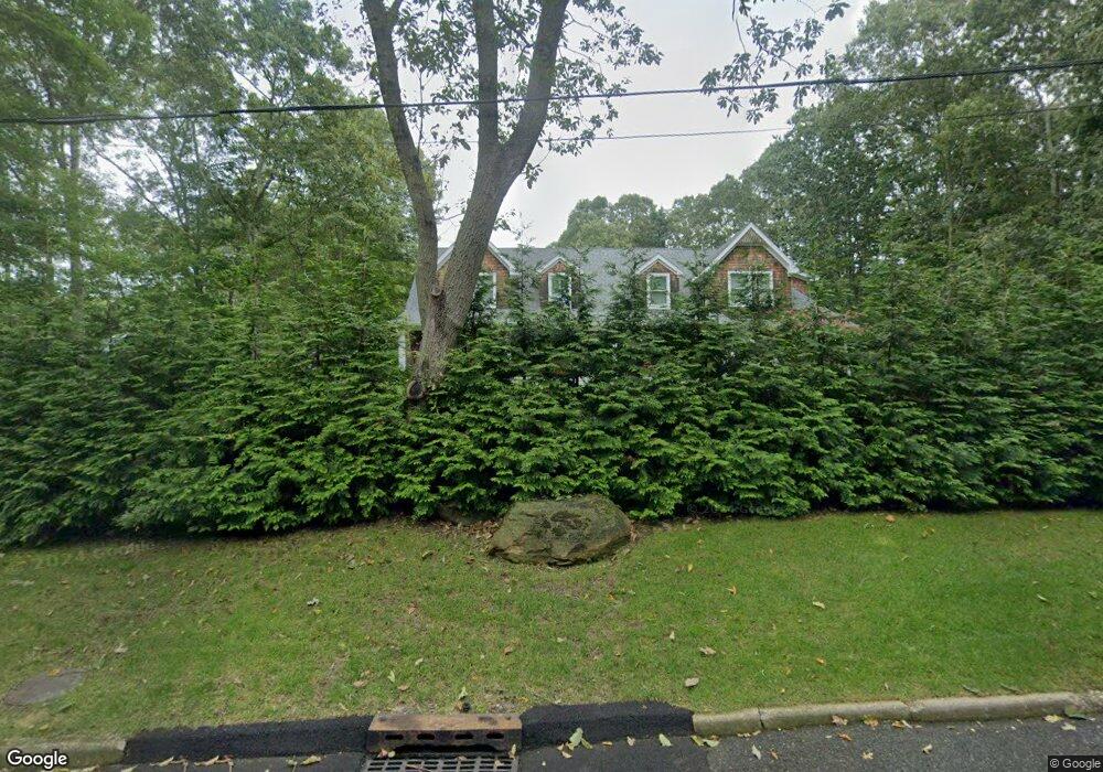
14 Pheasant Rd Sag Harbor, NY 11963
Estimated Value: $3,131,000 - $3,891,692
4
Beds
1
Bath
2,948
Sq Ft
$1,189/Sq Ft
Est. Value
About This Home
This home is located at 14 Pheasant Rd, Sag Harbor, NY 11963 and is currently estimated at $3,505,923, approximately $1,189 per square foot. 14 Pheasant Rd is a home located in Suffolk County with nearby schools including Sag Harbor Elementary School, Pierson Middle/High School, and Ross Lower School.
Ownership History
Date
Name
Owned For
Owner Type
Purchase Details
Closed on
Dec 9, 2021
Sold by
Oniro Trelo Llc
Bought by
Peconic Riverside 2021 T
Current Estimated Value
Purchase Details
Closed on
Sep 2, 2020
Sold by
Obrien Donald M and Jahoda Julie
Bought by
Oniro Trelo Llc
Purchase Details
Closed on
Mar 20, 2002
Sold by
Schneider Margaret Moses and Moses Jean R
Bought by
Obrien Donald M and Jahoda Julie
Home Financials for this Owner
Home Financials are based on the most recent Mortgage that was taken out on this home.
Original Mortgage
$337,500
Interest Rate
6.84%
Create a Home Valuation Report for This Property
The Home Valuation Report is an in-depth analysis detailing your home's value as well as a comparison with similar homes in the area
Home Values in the Area
Average Home Value in this Area
Purchase History
| Date | Buyer | Sale Price | Title Company |
|---|---|---|---|
| Peconic Riverside 2021 T | -- | None Available | |
| Oniro Trelo Llc | -- | None Available | |
| Obrien Donald M | $195,000 | -- |
Source: Public Records
Mortgage History
| Date | Status | Borrower | Loan Amount |
|---|---|---|---|
| Previous Owner | Obrien Donald M | $337,500 |
Source: Public Records
Tax History
| Year | Tax Paid | Tax Assessment Tax Assessment Total Assessment is a certain percentage of the fair market value that is determined by local assessors to be the total taxable value of land and additions on the property. | Land | Improvement |
|---|---|---|---|---|
| 2024 | -- | $1,719,900 | $666,200 | $1,053,700 |
| 2023 | -- | $1,719,900 | $666,200 | $1,053,700 |
| 2022 | $4,871 | $1,719,900 | $666,200 | $1,053,700 |
| 2021 | $4,871 | $1,794,000 | $740,300 | $1,053,700 |
| 2020 | $9,581 | $1,412,900 | $740,300 | $672,600 |
| 2019 | $9,581 | $1,412,900 | $740,300 | $672,600 |
| 2018 | -- | $1,182,600 | $576,400 | $606,200 |
| 2017 | $7,713 | $1,120,300 | $546,100 | $574,200 |
| 2016 | $5,055 | $724,000 | $546,100 | $177,900 |
| 2015 | -- | $683,900 | $515,800 | $168,100 |
| 2014 | -- | $683,900 | $515,800 | $168,100 |
Source: Public Records
Map
Nearby Homes
- 254 Harbor Watch Ct
- 45 Harbor Watch Ct
- 59 Highview Dr
- 4528 Noyac Rd
- 4529 Noyac Rd
- 14 Margaret Dr
- 7 Sims Ave
- 1350 Brick Kiln Rd
- 414 Main St
- 15 Laurel Ln
- 210 Redwood Rd
- 1363 Brick Kiln Rd
- 33 Whalers Dr
- 221 Redwood Rd
- 73 Laurel Ln
- 352 Main St
- 48 Island View Dr W
- 330 Main St
- 64 Island View Dr W
- 57 Jermain Ave
- 18 Pheasant Rd
- 997 Brick Kiln Rd
- 6 Pheasant Rd
- 24 Pheasant Rd
- 1021 Brick Kiln Rd
- 4 Partridge Dr
- 11 Pheasant Rd
- 17 Pheasant Rd
- 28 Pheasant Rd
- 961 Brick Kiln Rd
- 1029 Brick Kiln Rd
- 262 Harbor Watch Ct
- 8 Partridge Dr
- 258 Harbor Watch Ct
- 7 Partridge Dr
- 7 Woodvale St
- 34 Pheasant Rd
- 11 Woodvale St
- 12 Partridge Dr
- 1057 Brick Kiln Rd
Your Personal Tour Guide
Ask me questions while you tour the home.