14 Phil Hunt Rd Windham, ME 04062
Estimated Value: $727,128 - $851,000
5
Beds
5
Baths
2,796
Sq Ft
$280/Sq Ft
Est. Value
About This Home
This home is located at 14 Phil Hunt Rd, Windham, ME 04062 and is currently estimated at $782,782, approximately $279 per square foot. 14 Phil Hunt Rd is a home located in Cumberland County with nearby schools including Manchester School, Windham Primary School, and Windham Middle School.
Ownership History
Date
Name
Owned For
Owner Type
Purchase Details
Closed on
Jan 29, 2009
Sold by
Barbara M Collins T
Bought by
Preston Paul D and Preston Melissa D
Current Estimated Value
Home Financials for this Owner
Home Financials are based on the most recent Mortgage that was taken out on this home.
Original Mortgage
$280,000
Outstanding Balance
$178,691
Interest Rate
5.28%
Mortgage Type
Unknown
Estimated Equity
$604,091
Create a Home Valuation Report for This Property
The Home Valuation Report is an in-depth analysis detailing your home's value as well as a comparison with similar homes in the area
Home Values in the Area
Average Home Value in this Area
Purchase History
| Date | Buyer | Sale Price | Title Company |
|---|---|---|---|
| Preston Paul D | -- | -- |
Source: Public Records
Mortgage History
| Date | Status | Borrower | Loan Amount |
|---|---|---|---|
| Open | Preston Paul D | $280,000 | |
| Previous Owner | Preston Paul D | $100,000 |
Source: Public Records
Tax History Compared to Growth
Tax History
| Year | Tax Paid | Tax Assessment Tax Assessment Total Assessment is a certain percentage of the fair market value that is determined by local assessors to be the total taxable value of land and additions on the property. | Land | Improvement |
|---|---|---|---|---|
| 2024 | $8,031 | $700,200 | $205,000 | $495,200 |
| 2023 | $7,512 | $670,700 | $190,500 | $480,200 |
| 2022 | $6,700 | $577,100 | $149,000 | $428,100 |
| 2021 | $6,512 | $516,800 | $115,500 | $401,300 |
| 2020 | $6,591 | $439,400 | $116,500 | $322,900 |
| 2019 | $6,433 | $439,400 | $116,500 | $322,900 |
| 2018 | $6,014 | $396,200 | $116,000 | $280,200 |
| 2017 | $6,096 | $371,000 | $106,500 | $264,500 |
| 2016 | $5,825 | $371,000 | $106,500 | $264,500 |
| 2015 | $5,621 | $371,000 | $106,500 | $264,500 |
| 2014 | $5,296 | $371,000 | $106,500 | $264,500 |
| 2013 | -- | $371,000 | $106,500 | $264,500 |
Source: Public Records
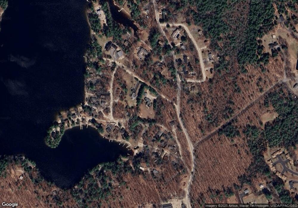
Map
Nearby Homes
- 219 Tandberg Trail
- 80 Sky Dr
- 1 Chipmunk Dr
- 5 Stagecoach Ln
- 7 Baxter Woods Trail
- 3 Pride Ln
- 5 Pride Ln
- 14 Sabbady Point Rd
- 00 Dusty Rhoades Ln
- Lot 14 Aerie Dr
- 8 Lily Ln
- 20 Buckfield Dr
- 34 Robin Ln
- 10 Arlene Ln
- 0 Turning Leaf Dr Unit 1640377
- Lot #1 Chamberlain Dr
- 34 Trails End Rd
- 16 Brookhaven Dr
- 55 Page Rd
- 36 Whites Bridge Rd Unit 8
- 20 Phil Hunt Rd
- 26 Island Dr
- 49 New Brown Cove Rd
- 22 Island Dr
- 18 Island Dr
- 16 Island Dr
- 14 Brass Ln
- 11 Island Dr
- 21 Briggs Island Cove
- 30 Island Dr
- 12 Island Dr
- 8 Old Brigg Island Cove Rd
- 32 Brown Cove Rd
- 32 Brown Cove Rd
- 32 Island Dr
- 36 Brown Cove Rd
- 6 Nelson Ln
- 14 Briggs Island Cove
- 36 Island Dr
- 6 Island Dr