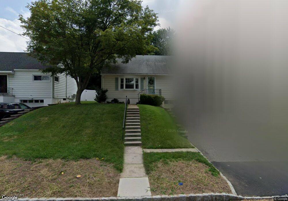
14 Phyllis Rd West Orange, NJ 07052
Estimated Value: $487,000 - $567,000
--
Bed
--
Bath
1,188
Sq Ft
$441/Sq Ft
Est. Value
About This Home
This home is located at 14 Phyllis Rd, West Orange, NJ 07052 and is currently estimated at $524,067, approximately $441 per square foot. 14 Phyllis Rd is a home located in Essex County with nearby schools including West Orange High School, Our Lady of the Lake School, and Mount Carmel Guild Academy.
Ownership History
Date
Name
Owned For
Owner Type
Purchase Details
Closed on
Aug 19, 2022
Sold by
Farranto Andrew Bruce and Farranto Angela
Bought by
Streisant Kevin and Kaiser Ashley
Current Estimated Value
Home Financials for this Owner
Home Financials are based on the most recent Mortgage that was taken out on this home.
Original Mortgage
$276,000
Interest Rate
6.02%
Mortgage Type
New Conventional
Purchase Details
Closed on
May 4, 2009
Sold by
Farranto Andrew Bruce and Farranto Angela
Bought by
Farranto Andrew Bruce and Farranto Angela
Home Financials for this Owner
Home Financials are based on the most recent Mortgage that was taken out on this home.
Original Mortgage
$210,000
Interest Rate
4.85%
Mortgage Type
New Conventional
Purchase Details
Closed on
Jul 29, 1996
Sold by
Bury Cecelia
Bought by
Farranto Andrew and Fletcher Angela
Create a Home Valuation Report for This Property
The Home Valuation Report is an in-depth analysis detailing your home's value as well as a comparison with similar homes in the area
Home Values in the Area
Average Home Value in this Area
Purchase History
| Date | Buyer | Sale Price | Title Company |
|---|---|---|---|
| Streisant Kevin | $345,000 | Phoenix Title | |
| Farranto Andrew Bruce | -- | Landguard Title Services Llc | |
| Farranto Andrew | $138,000 | -- |
Source: Public Records
Mortgage History
| Date | Status | Borrower | Loan Amount |
|---|---|---|---|
| Previous Owner | Streisant Kevin | $276,000 | |
| Previous Owner | Farranto Andrew Bruce | $210,000 |
Source: Public Records
Tax History Compared to Growth
Tax History
| Year | Tax Paid | Tax Assessment Tax Assessment Total Assessment is a certain percentage of the fair market value that is determined by local assessors to be the total taxable value of land and additions on the property. | Land | Improvement |
|---|---|---|---|---|
| 2025 | $10,888 | $418,300 | $197,000 | $221,300 |
| 2024 | $10,888 | $236,800 | $135,000 | $101,800 |
| 2022 | $10,507 | $236,800 | $135,000 | $101,800 |
| 2021 | $7,681 | $236,800 | $135,000 | $101,800 |
| 2020 | $10,145 | $236,800 | $135,000 | $101,800 |
| 2019 | $9,853 | $236,800 | $135,000 | $101,800 |
| 2018 | $9,562 | $236,800 | $135,000 | $101,800 |
| 2017 | $9,439 | $236,800 | $135,000 | $101,800 |
| 2016 | $9,212 | $236,800 | $135,000 | $101,800 |
| 2015 | $9,039 | $236,800 | $135,000 | $101,800 |
| 2014 | $8,861 | $236,800 | $135,000 | $101,800 |
Source: Public Records
Map
Nearby Homes
- 8 Phyllis Rd
- 17 Johnson Rd
- 35 Fitzrandolph Rd
- 537 Eagle Rock Ave
- 30 Fitzrandolph Rd
- 34 Fitzrandolph Rd
- 1 Bachman Terrace
- 21 Robertson Rd
- 730-732 Eagle Rock Ave
- 3 Bachman Terrace
- 33 Robertson Rd
- 43 Conforti Ave Unit 83
- 52 Robertson Rd
- 28 Blackburne Terrace
- 45 Crystal Ave
- 35 Waldeck Ct
- 48 Clarken Dr Unit 48
- 48 Clarken Dr Unit 243
- 4 Mcmanus Ct Unit 2
- 4 Mcmanus Ct