14 Point North Dr Hogansville, GA 30230
Estimated Value: $144,835 - $310,000
3
Beds
1
Bath
1,110
Sq Ft
$177/Sq Ft
Est. Value
About This Home
This home is located at 14 Point North Dr, Hogansville, GA 30230 and is currently estimated at $196,709, approximately $177 per square foot. 14 Point North Dr is a home located in Troup County with nearby schools including Hillcrest Elementary School, Franklin Forest Elementary School, and Hollis Hand Elementary School.
Ownership History
Date
Name
Owned For
Owner Type
Purchase Details
Closed on
Jul 24, 1998
Sold by
Grizzard Jeffery S and Grizzard Valerie A
Bought by
Miller Tony Allen
Current Estimated Value
Purchase Details
Closed on
Mar 21, 1994
Sold by
Sec Hud
Bought by
Grizzard Jeffery S and Grizzard Valerie A
Purchase Details
Closed on
Jul 7, 1993
Sold by
Nations Banc Mgt Co
Bought by
Sec Hud
Purchase Details
Closed on
May 4, 1993
Sold by
Thornton D B
Bought by
Nations Banc Mgt Co
Purchase Details
Closed on
Dec 31, 1991
Bought by
Thornton D B
Purchase Details
Closed on
Jun 22, 1982
Purchase Details
Closed on
Jun 17, 1979
Purchase Details
Closed on
Feb 28, 1977
Purchase Details
Closed on
Aug 26, 1976
Purchase Details
Closed on
Aug 25, 1976
Purchase Details
Closed on
May 14, 1976
Purchase Details
Closed on
Jan 1, 1958
Create a Home Valuation Report for This Property
The Home Valuation Report is an in-depth analysis detailing your home's value as well as a comparison with similar homes in the area
Home Values in the Area
Average Home Value in this Area
Purchase History
| Date | Buyer | Sale Price | Title Company |
|---|---|---|---|
| Miller Tony Allen | $66,000 | -- | |
| Grizzard Jeffery S | $35,200 | -- | |
| Sec Hud | $54,600 | -- | |
| Nations Banc Mgt Co | -- | -- | |
| Thornton D B | $49,800 | -- | |
| -- | -- | -- | |
| -- | -- | -- | |
| -- | -- | -- | |
| -- | -- | -- | |
| -- | -- | -- | |
| -- | -- | -- | |
| -- | -- | -- |
Source: Public Records
Tax History Compared to Growth
Tax History
| Year | Tax Paid | Tax Assessment Tax Assessment Total Assessment is a certain percentage of the fair market value that is determined by local assessors to be the total taxable value of land and additions on the property. | Land | Improvement |
|---|---|---|---|---|
| 2024 | $938 | $36,400 | $10,000 | $26,400 |
| 2023 | $456 | $36,604 | $10,000 | $26,604 |
| 2022 | $915 | $34,764 | $10,000 | $24,764 |
| 2021 | $825 | $29,336 | $10,000 | $19,336 |
| 2020 | $692 | $29,344 | $10,000 | $19,344 |
| 2019 | $675 | $24,368 | $10,000 | $14,368 |
| 2018 | $635 | $23,040 | $10,000 | $13,040 |
| 2017 | $567 | $20,800 | $5,200 | $15,600 |
| 2016 | $532 | $19,636 | $5,200 | $14,436 |
| 2015 | $534 | $19,636 | $5,200 | $14,436 |
| 2014 | $511 | $18,876 | $5,200 | $13,676 |
| 2013 | -- | $19,893 | $5,200 | $14,693 |
Source: Public Records
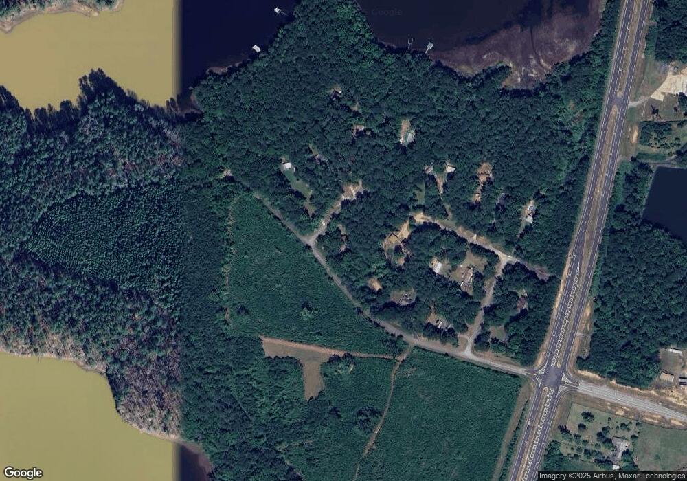
Map
Nearby Homes
- 3591 Highway 54 W
- 4 Grayson Point
- 292 S Grayson Trail
- 1 S River Run Dr
- 181 S Chattahoochee Dr
- 1 Maple Ridge Dr
- 4878 Youngs Mill Rd
- 3609 Youngs Mill Rd
- 1221 US Highway 27
- 5021 Hammett Rd Unit LOT 4
- 5028 Hammett Rd
- Tr 4 Unit 15.976 ac Pike Roa
- Tr 5 Unit 19.018 ac Pike Roa
- TR 4 15.976 AC Pike Rd
- TR 5 19.018 AC Pike Rd
- 143 Taylor Len Dr
- 475 Hammett Cir
- 1072 Minardi Dr
- 244 Brush Creek Park Rd
- 0 Wares Cross Rd Unit 20159396
- 0 Point Dr N Unit 8321734
- 0 Point Dr N Unit 8293990
- 0 Point Dr N Unit 8989719
- 0 Point Dr N Unit 8511361
- 0 Point Dr N Unit 8778125
- 115 N Cove Dr
- 0 Philpot Ferry Rd
- 12 AC Philpot Ferry Rd
- 11 Point Dr N
- 21 Point North Dr
- 11 Point North Dr
- 80 Philpot Ferry Rd
- 95 N Cove Dr
- 110 N Cove Dr
- 31 Point North Dr
- 24 Point North Dr
- 24 Point North Dr
- 106 N Cove Dr
- 35 Point North Dr
- 35 Point North Dr