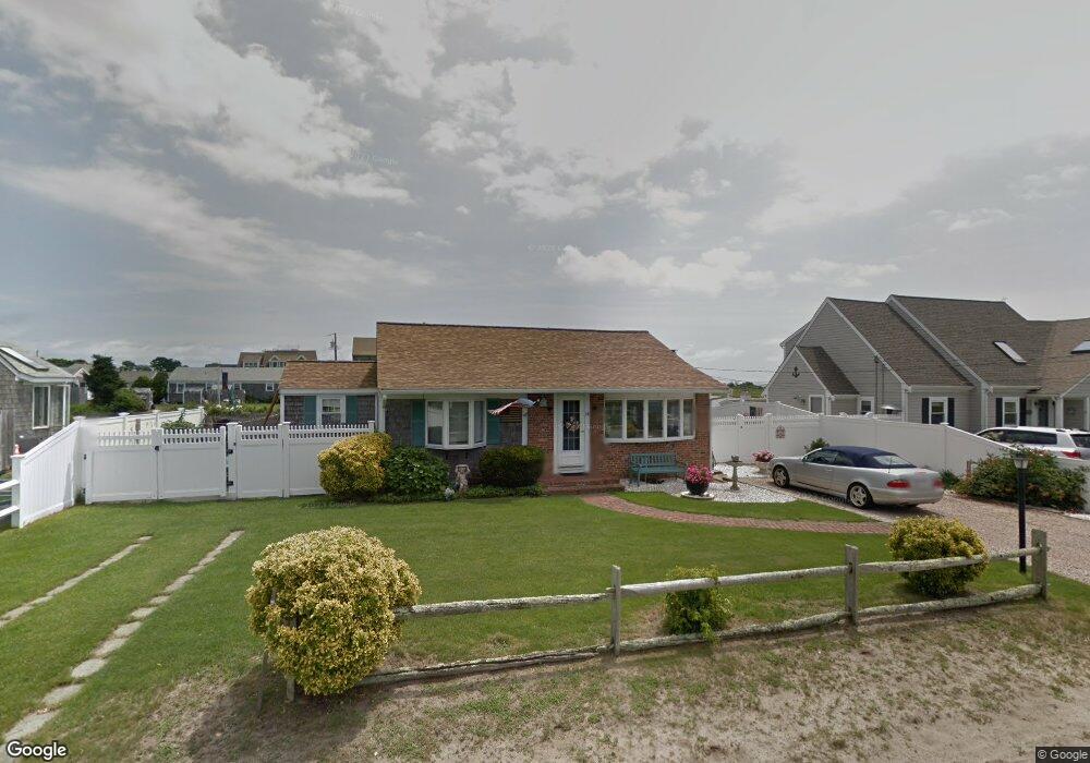
14 Port Way West Dennis, MA 02670
West Dennis NeighborhoodEstimated Value: $1,913,000 - $2,526,000
1
Bed
3
Baths
1,658
Sq Ft
$1,362/Sq Ft
Est. Value
About This Home
This home is located at 14 Port Way, West Dennis, MA 02670 and is currently estimated at $2,258,203, approximately $1,362 per square foot. 14 Port Way is a home located in Barnstable County with nearby schools including Dennis-Yarmouth Regional High School and St. Pius X. School.
Ownership History
Date
Name
Owned For
Owner Type
Purchase Details
Closed on
Jul 6, 1990
Sold by
Shibles John R
Bought by
Nee Martrin
Current Estimated Value
Home Financials for this Owner
Home Financials are based on the most recent Mortgage that was taken out on this home.
Original Mortgage
$228,000
Interest Rate
10.23%
Mortgage Type
Purchase Money Mortgage
Create a Home Valuation Report for This Property
The Home Valuation Report is an in-depth analysis detailing your home's value as well as a comparison with similar homes in the area
Home Values in the Area
Average Home Value in this Area
Purchase History
| Date | Buyer | Sale Price | Title Company |
|---|---|---|---|
| Nee Martrin | $285,000 | -- |
Source: Public Records
Mortgage History
| Date | Status | Borrower | Loan Amount |
|---|---|---|---|
| Open | Nee Martrin | $248,000 | |
| Closed | Nee Martrin | $222,000 | |
| Closed | Nee Martrin | $177,800 | |
| Closed | Nee Martrin | $228,000 |
Source: Public Records
Tax History Compared to Growth
Tax History
| Year | Tax Paid | Tax Assessment Tax Assessment Total Assessment is a certain percentage of the fair market value that is determined by local assessors to be the total taxable value of land and additions on the property. | Land | Improvement |
|---|---|---|---|---|
| 2025 | $9,187 | $2,121,800 | $1,028,400 | $1,093,400 |
| 2024 | $9,071 | $2,066,400 | $989,000 | $1,077,400 |
| 2023 | $8,823 | $1,889,300 | $899,100 | $990,200 |
| 2022 | $7,114 | $1,270,400 | $555,400 | $715,000 |
| 2021 | $0 | $1,088,600 | $544,500 | $544,100 |
| 2020 | $3,976 | $1,062,900 | $544,500 | $518,400 |
| 2019 | $2,184 | $1,000,000 | $533,800 | $466,200 |
| 2018 | $6,530 | $1,029,900 | $582,300 | $447,600 |
| 2017 | $6,204 | $1,008,700 | $561,100 | $447,600 |
| 2016 | $5,552 | $850,200 | $608,800 | $241,400 |
| 2015 | $4,605 | $719,500 | $608,800 | $110,700 |
| 2014 | $4,569 | $719,500 | $608,800 | $110,700 |
Source: Public Records
Map
Nearby Homes
- 40 Shore Rd
- 22 Beach View Rd
- 14 Schoolhouse Ln
- 178 School St
- 141 Main St Unit 4
- 141 Main St Unit 23
- 209 Main St Unit 5
- 209 Main St Unit 6
- 209 Main St Unit 4
- 209 Main St Unit 3
- 209 Main St Unit 2
- 209 Main St Unit 1
- 23 Doric Ave
- 251 Old Main St
- 181 Pleasant St
- 308 Old Main St
- 401 Main St Unit 201
- 401 Main St Unit 101
- 24 Regan Rd
- 45 Seth Ln