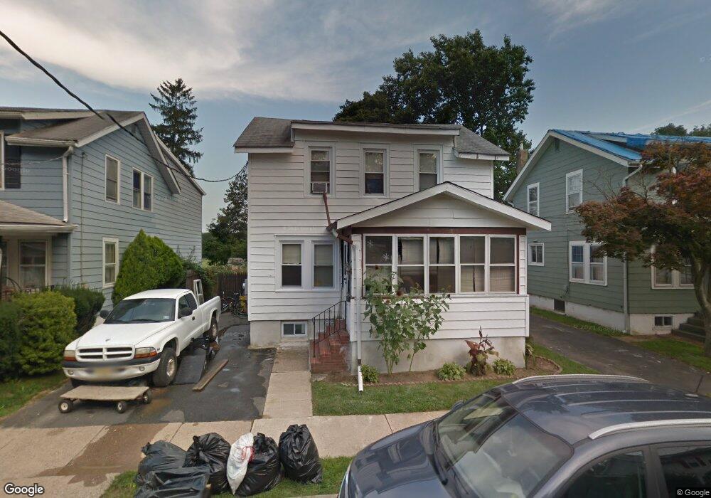
14 Preston Ave Ewing, NJ 08618
Parkway Village NeighborhoodEstimated Value: $201,000 - $384,000
Studio
--
Bath
1,056
Sq Ft
$257/Sq Ft
Est. Value
About This Home
This home is located at 14 Preston Ave, Ewing, NJ 08618 and is currently estimated at $271,435, approximately $257 per square foot. 14 Preston Ave is a home located in Mercer County with nearby schools including Ewing High School, The Village Charter School, and Christina Seix Academy.
Ownership History
Date
Name
Owned For
Owner Type
Purchase Details
Closed on
Oct 13, 2021
Sold by
Rutherford Wayne S and Estate Of Arthur J Rue
Bought by
Schilling Brett and Schilling Kenneth
Current Estimated Value
Create a Home Valuation Report for This Property
The Home Valuation Report is an in-depth analysis detailing your home's value as well as a comparison with similar homes in the area
Home Values in the Area
Average Home Value in this Area
Purchase History
| Date | Buyer | Sale Price | Title Company |
|---|---|---|---|
| Schilling Brett | -- | None Available |
Source: Public Records
Tax History
| Year | Tax Paid | Tax Assessment Tax Assessment Total Assessment is a certain percentage of the fair market value that is determined by local assessors to be the total taxable value of land and additions on the property. | Land | Improvement |
|---|---|---|---|---|
| 2025 | $5,911 | $150,300 | $40,200 | $110,100 |
| 2024 | $5,557 | $150,300 | $40,200 | $110,100 |
| 2023 | $5,557 | $150,300 | $40,200 | $110,100 |
| 2022 | $5,406 | $150,300 | $40,200 | $110,100 |
| 2021 | $5,274 | $150,300 | $40,200 | $110,100 |
| 2020 | $5,199 | $150,300 | $40,200 | $110,100 |
| 2019 | $5,064 | $150,300 | $40,200 | $110,100 |
| 2018 | $4,622 | $87,500 | $31,000 | $56,500 |
| 2017 | $4,729 | $87,500 | $31,000 | $56,500 |
| 2016 | $4,666 | $87,500 | $31,000 | $56,500 |
| 2015 | $4,603 | $87,500 | $31,000 | $56,500 |
| 2014 | $4,591 | $85,200 | $31,000 | $54,200 |
Source: Public Records
Map
Nearby Homes
- 25 Preston Ave
- 860 Lower Ferry Rd Unit 5P
- 860 Lower Ferry Rd Unit 4C
- 860 Lower Ferry Rd Unit 2K
- 860 Lower Ferry Rd Unit 6M
- 152 Franklyn Rd
- 1458 Stuyvesant Ave
- 116 Renfrew Ave
- 1428 Stuyvesant Ave
- 322 Wynnewood Rd
- 22 Cornwall Ave
- 1408 Stuyvesant Ave
- 16 Ranchwood Dr
- 768 Parkway Ave
- 1200 Silvia St
- 22 Farrell Ave
- 215 Stacey Ave
- 37 Bruce Park Dr
- 31 Bruce Park Dr
- 323 Concord Ave
- 12 Preston Ave
- 18 Preston Ave
- 8 Preston Ave
- 26 Preston Ave
- 28 Preston Ave
- 4 Preston Ave
- 23 Preston Ave
- 19 Preston Ave
- 15 Preston Ave
- 27 Preston Ave
- 11 Preston Ave
- 1705 Stuyvesant Ave
- 7 Preston Ave
- 1709 Stuyvesant Ave
- 1701 Stuyvesant Ave
- 2106 Stuyvesant Ave
- 2110 Stuyvesant Ave
- 2114 Stuyvesant Ave
- 5081 Stuyvesant Ave
- 2118 Stuyvesant Ave
Your Personal Tour Guide
Ask me questions while you tour the home.