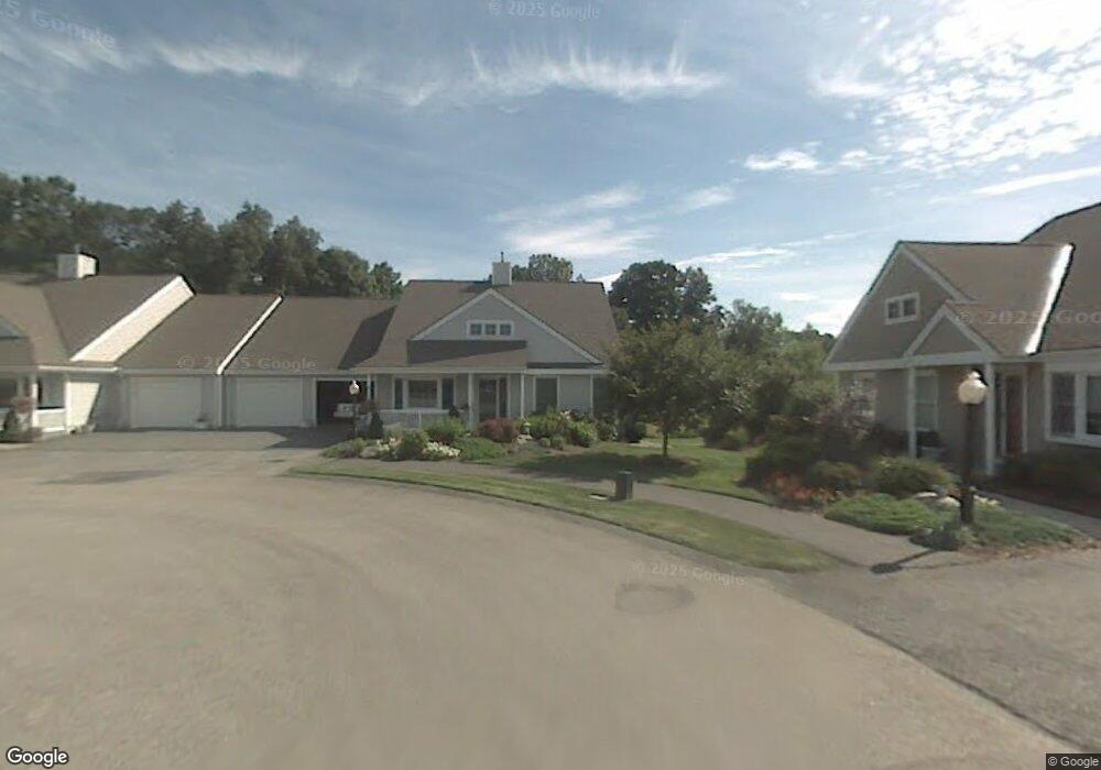
14 Quaker Way Westborough, MA 01581
Estimated Value: $600,000 - $703,000
2
Beds
2
Baths
1,874
Sq Ft
$353/Sq Ft
Est. Value
About This Home
This home is located at 14 Quaker Way, Westborough, MA 01581 and is currently estimated at $662,449, approximately $353 per square foot. 14 Quaker Way is a home located in Worcester County with nearby schools including Westborough High School, Ebridge Montessori School, and Westboro Knowledge Beginnings.
Ownership History
Date
Name
Owned For
Owner Type
Purchase Details
Closed on
Aug 4, 2023
Sold by
Jaffee Phyllis G
Bought by
Davis Kathleen S
Current Estimated Value
Purchase Details
Closed on
Feb 24, 2000
Sold by
Walker Meadow Dev Inc
Bought by
Donoian Margaret
Home Financials for this Owner
Home Financials are based on the most recent Mortgage that was taken out on this home.
Original Mortgage
$65,000
Interest Rate
8.15%
Mortgage Type
Purchase Money Mortgage
Create a Home Valuation Report for This Property
The Home Valuation Report is an in-depth analysis detailing your home's value as well as a comparison with similar homes in the area
Home Values in the Area
Average Home Value in this Area
Purchase History
| Date | Buyer | Sale Price | Title Company |
|---|---|---|---|
| Davis Kathleen S | $649,900 | None Available | |
| Donoian Margaret | $314,053 | -- |
Source: Public Records
Mortgage History
| Date | Status | Borrower | Loan Amount |
|---|---|---|---|
| Previous Owner | Donoian Margaret | $68,550 | |
| Previous Owner | Donoian Margaret | $25,000 | |
| Previous Owner | Donoian Margaret | $65,000 |
Source: Public Records
Tax History Compared to Growth
Tax History
| Year | Tax Paid | Tax Assessment Tax Assessment Total Assessment is a certain percentage of the fair market value that is determined by local assessors to be the total taxable value of land and additions on the property. | Land | Improvement |
|---|---|---|---|---|
| 2025 | $8,842 | $542,800 | $0 | $542,800 |
| 2024 | $9,441 | $575,300 | $0 | $575,300 |
| 2023 | $7,908 | $469,600 | $0 | $469,600 |
| 2022 | $7,888 | $426,600 | $0 | $426,600 |
| 2021 | $7,792 | $420,300 | $0 | $420,300 |
| 2020 | $7,967 | $434,900 | $0 | $434,900 |
| 2019 | $7,403 | $403,900 | $0 | $403,900 |
| 2018 | $7,354 | $398,400 | $0 | $398,400 |
| 2017 | $7,092 | $398,400 | $0 | $398,400 |
| 2016 | $6,225 | $350,300 | $0 | $350,300 |
| 2015 | $6,382 | $343,300 | $0 | $343,300 |
Source: Public Records
Map
Nearby Homes
- 19 Treetop Park Unit 19
- 9 Treetop Park
- 52 Treetop Park Unit 52
- 9 Shaker Way
- 147 Milk St Unit 8
- 21 Sheffield Way
- 155 Milk St Unit 26
- 196 -198 Turnpike Rd
- 4 Fairview Rd
- 153 Milk St Unit 30
- 8 Mayberry Dr Unit 5
- 7 Mayberry Dr Unit H
- 9 Mayberry Dr Unit 1
- 14C Mayberry Dr Unit 1
- 165 Turnpike Rd Unit 42
- 19 Fisher St
- 43 Church St
- 17 Oak St
- 14 Grove St Unit 2
- 14 Grove St Unit 3
- 9 Quaker Way
- 7 Quaker Way
- 5 Quaker Way
- 10 Quaker Way Unit 46
- 10 Quaker Way
- 12 Quaker Way
- 10 Quaker Way Unit 10,46
- 12 Quaker Way Unit 45
- 6 Quaker Way
- 8 Quaker Way
- 6 Quaker Way
- 1 Quaker Way
- 3 Treetop Park
- 1 Treetop Park
- 3 Treetop Park Unit 3
- 36 Treetop Park Unit 36
- 36 Treetop Park
- 35 Treetop Park
- 34 Treetop Park
- 30 Treetop Park