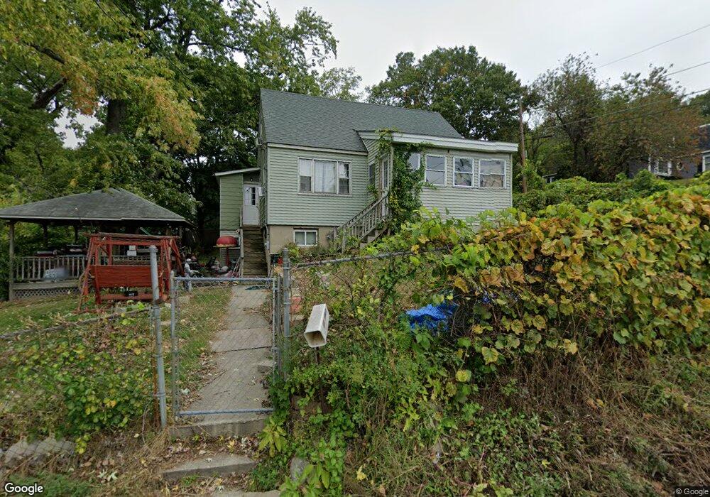
14 Randolph Ave Methuen, MA 01844
The East End NeighborhoodEstimated Value: $499,296 - $544,000
3
Beds
2
Baths
1,421
Sq Ft
$369/Sq Ft
Est. Value
About This Home
This home is located at 14 Randolph Ave, Methuen, MA 01844 and is currently estimated at $523,824, approximately $368 per square foot. 14 Randolph Ave is a home located in Essex County with nearby schools including South Point Elementary School, Methuen High School, and Community Day Charter Public School - Gateway.
Ownership History
Date
Name
Owned For
Owner Type
Purchase Details
Closed on
Aug 14, 2009
Sold by
Bird John R
Bought by
Bird John R and Bird Vanessa L
Current Estimated Value
Home Financials for this Owner
Home Financials are based on the most recent Mortgage that was taken out on this home.
Original Mortgage
$164,010
Outstanding Balance
$107,315
Interest Rate
5.36%
Mortgage Type
Purchase Money Mortgage
Estimated Equity
$416,509
Purchase Details
Closed on
Jun 3, 2005
Sold by
Ricci Bruce R
Bought by
Bird John
Home Financials for this Owner
Home Financials are based on the most recent Mortgage that was taken out on this home.
Original Mortgage
$170,000
Interest Rate
5.83%
Mortgage Type
Purchase Money Mortgage
Create a Home Valuation Report for This Property
The Home Valuation Report is an in-depth analysis detailing your home's value as well as a comparison with similar homes in the area
Home Values in the Area
Average Home Value in this Area
Purchase History
| Date | Buyer | Sale Price | Title Company |
|---|---|---|---|
| Bird John R | $213,000 | -- | |
| Bird John | $250,000 | -- |
Source: Public Records
Mortgage History
| Date | Status | Borrower | Loan Amount |
|---|---|---|---|
| Open | Bird John R | $164,010 | |
| Previous Owner | Bird John | $170,000 |
Source: Public Records
Tax History Compared to Growth
Tax History
| Year | Tax Paid | Tax Assessment Tax Assessment Total Assessment is a certain percentage of the fair market value that is determined by local assessors to be the total taxable value of land and additions on the property. | Land | Improvement |
|---|---|---|---|---|
| 2025 | $4,602 | $435,000 | $215,700 | $219,300 |
| 2024 | $4,512 | $415,500 | $196,100 | $219,400 |
| 2023 | $4,235 | $362,000 | $173,500 | $188,500 |
| 2022 | $4,004 | $306,800 | $143,300 | $163,500 |
| 2021 | $3,815 | $289,200 | $135,800 | $153,400 |
| 2020 | $3,797 | $282,500 | $135,800 | $146,700 |
| 2019 | $3,687 | $259,800 | $128,200 | $131,600 |
| 2018 | $3,625 | $254,000 | $128,200 | $125,800 |
| 2017 | $3,435 | $234,500 | $120,700 | $113,800 |
| 2016 | $3,325 | $224,500 | $120,700 | $103,800 |
| 2015 | $3,094 | $211,900 | $113,100 | $98,800 |
Source: Public Records
Map
Nearby Homes
- 29 Wallace St
- 17 Ferry Rd
- 45 Christopher Dr Unit 101
- 2 Goodrich Ave
- 27 Russell Farm Dr
- 23 Constitution Way Unit 23
- 23 Constitution Way
- 95 Pilgrim Cir Unit 95
- 86 Comet Rd
- 49 Golf Ave
- 128 Pleasant Valley St
- 122 Pleasant Valley St
- 46 Oneida St
- 50 Woburn St
- 107 Farrwood Dr Unit 107
- 68 Sterling Ln
- 369 Farrwood Dr
- 406 Farrwood Dr Unit 406
- 414 Farrwood Dr Unit 414
- 6 Aberdeen Rd