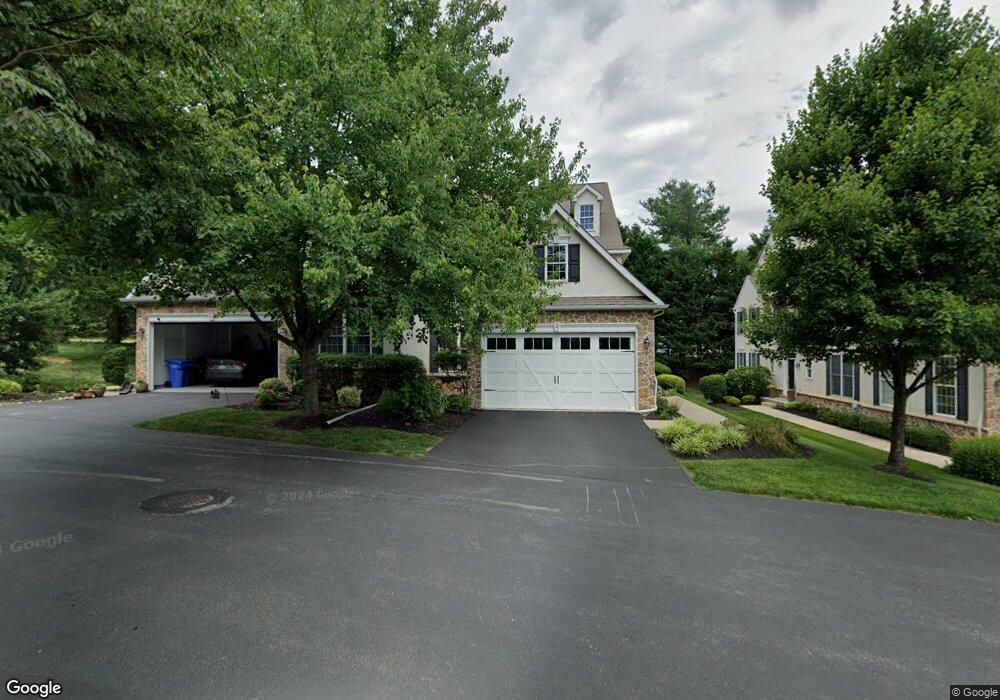
14 Robert Ct Unit 14 Chadds Ford, PA 19317
Concord Township Delaware NeighborhoodEstimated Value: $688,000 - $825,000
3
Beds
3
Baths
3,322
Sq Ft
$224/Sq Ft
Est. Value
About This Home
This home is located at 14 Robert Ct Unit 14, Chadds Ford, PA 19317 and is currently estimated at $745,456, approximately $224 per square foot. 14 Robert Ct Unit 14 is a home located in Delaware County with nearby schools including Garnet Valley High School, The Pilot School, and St Cornelius School.
Ownership History
Date
Name
Owned For
Owner Type
Purchase Details
Closed on
Apr 19, 2016
Sold by
Pursley Joseph R and Pursley Nicole S
Bought by
Pursley Nicole S
Current Estimated Value
Purchase Details
Closed on
Apr 17, 2009
Sold by
Pursley Joseph R and Pursley Nicole S
Bought by
Pursley Joseph R and Pursley Nicole S
Home Financials for this Owner
Home Financials are based on the most recent Mortgage that was taken out on this home.
Original Mortgage
$335,000
Outstanding Balance
$211,318
Interest Rate
4.9%
Mortgage Type
New Conventional
Estimated Equity
$534,138
Purchase Details
Closed on
May 31, 2007
Sold by
Fay Brothers Development Co Inc
Bought by
Pursley Joseph R and Debus Nicole S
Home Financials for this Owner
Home Financials are based on the most recent Mortgage that was taken out on this home.
Original Mortgage
$44,450
Interest Rate
6.19%
Mortgage Type
Credit Line Revolving
Create a Home Valuation Report for This Property
The Home Valuation Report is an in-depth analysis detailing your home's value as well as a comparison with similar homes in the area
Home Values in the Area
Average Home Value in this Area
Purchase History
| Date | Buyer | Sale Price | Title Company |
|---|---|---|---|
| Pursley Nicole S | -- | None Available | |
| Pursley Joseph R | -- | None Available | |
| Pursley Joseph R | $445,000 | None Available |
Source: Public Records
Mortgage History
| Date | Status | Borrower | Loan Amount |
|---|---|---|---|
| Open | Pursley Joseph R | $335,000 | |
| Closed | Pursley Joseph R | $44,450 | |
| Closed | Pursley Joseph R | $356,000 |
Source: Public Records
Tax History Compared to Growth
Tax History
| Year | Tax Paid | Tax Assessment Tax Assessment Total Assessment is a certain percentage of the fair market value that is determined by local assessors to be the total taxable value of land and additions on the property. | Land | Improvement |
|---|---|---|---|---|
| 2025 | $10,451 | $459,040 | $122,650 | $336,390 |
| 2024 | $10,451 | $459,040 | $122,650 | $336,390 |
| 2023 | $10,191 | $459,040 | $122,650 | $336,390 |
| 2022 | $10,078 | $459,040 | $122,650 | $336,390 |
| 2021 | $16,946 | $459,040 | $122,650 | $336,390 |
| 2020 | $9,592 | $242,748 | $58,360 | $184,388 |
| 2019 | $9,450 | $242,748 | $58,360 | $184,388 |
| 2018 | $9,305 | $242,748 | $0 | $0 |
| 2017 | $9,115 | $242,748 | $0 | $0 |
| 2016 | $1,332 | $242,748 | $0 | $0 |
| 2015 | $1,332 | $242,748 | $0 | $0 |
| 2014 | $1,332 | $242,748 | $0 | $0 |
Source: Public Records
Map
Nearby Homes
- 43 Sharpley Dr
- 136A State Line Rd
- 920 Lamberhurst Close
- 904 Quarter Mile Post
- 116 Landis Way N Unit 116
- 372 Cassell Ct
- 86 Summit Ave
- 88 Summit Ave
- 312 Winterset Rd
- 523 Canter Rd
- 919 Alpha Rd Unit 59
- 514 Harness Way
- 525 Canter Rd
- 1806 Half Mile Post S
- 20 Winterset Rd
- 28 Winterset Rd
- 34 Winterset Rd Unit 11
- 31 N Ellis Rd Unit A031
- 1004 Sulky Rd Unit 225
- 3103 Ruby Dr
- 16 Robert Ct Unit 16
- 12 Robert Ct
- 10 Robert Ct Unit 10
- 18 Robert Ct
- 601 Homestead Ln
- 602 Homestead Ln Unit 602
- 502 Homestead Ln Unit 502
- 501 Homestead Ln Unit 501
- 604 Homestead Ln Unit 604
- 603 Homestead Ln Unit 603
- 8 Robert Ct Unit 8
- 701 Homestead Ln Unit 701
- 6 Robert Ct
- 503 Homestead Ln Unit 503
- 702 Homestead Ln Unit 702
- 504 Homestead Ln Unit 504
- 11 Robert Ct
- 4 Robert Ct Unit 4
- 703 Homestead Ln Unit 703
- 2 Robert Ct Unit 2