Estimated Value: $880,483 - $1,024,000
4
Beds
3
Baths
2,328
Sq Ft
$415/Sq Ft
Est. Value
About This Home
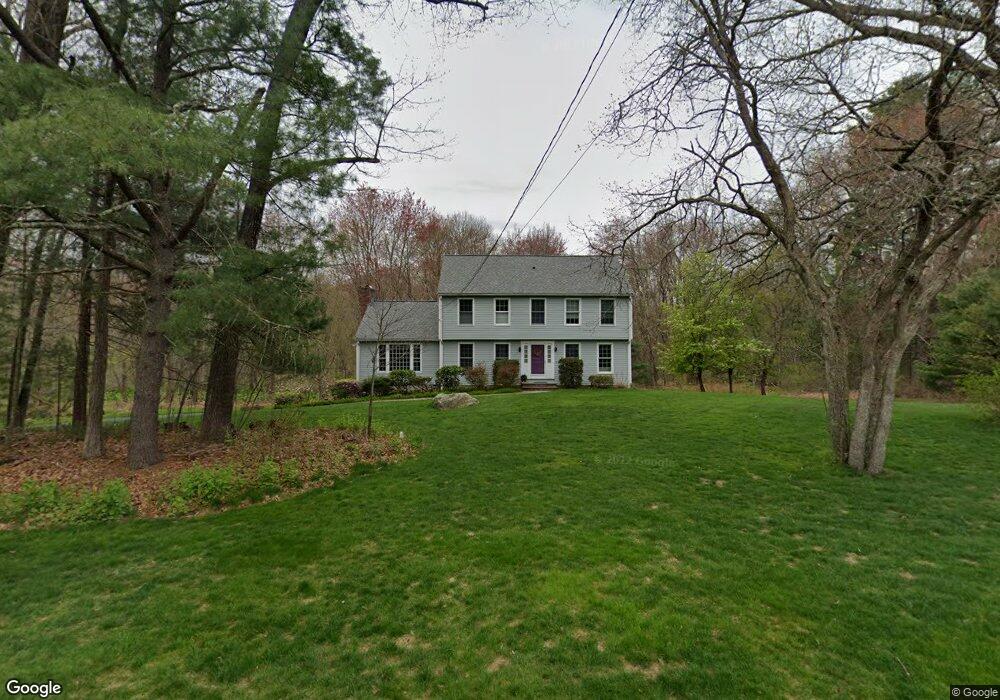
This home is located at 14 Robert Rd, Acton, MA 01720 and is currently estimated at $966,621, approximately $415 per square foot. 14 Robert Rd is a home located in Middlesex County with nearby schools including Acton-Boxborough Regional High School, Maynard Knowledge Beginnings, and The Imago School.
Create a Home Valuation Report for This Property
The Home Valuation Report is an in-depth analysis detailing your home's value as well as a comparison with similar homes in the area
Home Values in the Area
Average Home Value in this Area
Tax History
| Year | Tax Paid | Tax Assessment Tax Assessment Total Assessment is a certain percentage of the fair market value that is determined by local assessors to be the total taxable value of land and additions on the property. | Land | Improvement |
|---|---|---|---|---|
| 2025 | $14,111 | $822,800 | $345,700 | $477,100 |
| 2024 | $13,208 | $792,300 | $345,700 | $446,600 |
| 2023 | $12,877 | $733,300 | $314,800 | $418,500 |
| 2022 | $12,388 | $636,900 | $273,500 | $363,400 |
| 2021 | $12,081 | $597,200 | $253,100 | $344,100 |
| 2020 | $11,398 | $592,400 | $253,100 | $339,300 |
| 2019 | $10,884 | $561,900 | $253,100 | $308,800 |
| 2018 | $10,952 | $565,100 | $253,100 | $312,000 |
| 2017 | $10,674 | $560,000 | $253,100 | $306,900 |
| 2016 | $10,475 | $544,700 | $253,100 | $291,600 |
| 2015 | $10,243 | $537,700 | $253,100 | $284,600 |
| 2014 | $10,124 | $520,500 | $253,100 | $267,400 |
Source: Public Records
Map
Nearby Homes
- 63 Conant St
- 1 Drummer Rd Unit A5
- 36 Brown St
- 128 Parker St Unit 3B
- 30 Brewster Ln
- 31 Drummer Rd Unit 31
- 70 Powder Mill Rd
- 68 Powder Mill Rd
- 66 Powder Mill Rd
- 12 Brown St
- 40 High St
- 1 Vanderbelt Rd
- 23 Deer Path Unit 5
- 70 River St
- 7 Hillcrest Dr
- 96 Forest Ridge Rd Unit 96
- 22 Douglas Ave Unit 2
- 22 Douglas Ave Unit 1
- 131 Main St
- 129 Main St Unit 129
Your Personal Tour Guide
Ask me questions while you tour the home.