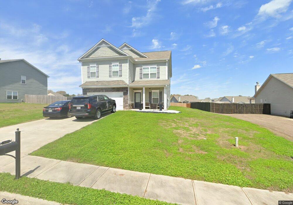
14 Robin Rd Unit 99 Adairsville, GA 30103
Estimated Value: $335,000 - $407,000
4
Beds
3
Baths
2,508
Sq Ft
$146/Sq Ft
Est. Value
About This Home
This home is located at 14 Robin Rd Unit 99, Adairsville, GA 30103 and is currently estimated at $366,421, approximately $146 per square foot. 14 Robin Rd Unit 99 is a home located in Bartow County with nearby schools including Adairsville Elementary School, Adairsville Middle School, and Adairsville High School.
Ownership History
Date
Name
Owned For
Owner Type
Purchase Details
Closed on
Jul 24, 2018
Sold by
Sdc Gwinnett Llc
Bought by
Wilkey Marquis T
Current Estimated Value
Home Financials for this Owner
Home Financials are based on the most recent Mortgage that was taken out on this home.
Original Mortgage
$200,407
Outstanding Balance
$172,586
Interest Rate
4.5%
Mortgage Type
FHA
Estimated Equity
$193,835
Purchase Details
Closed on
Apr 23, 2018
Sold by
Woody Road Llc
Bought by
Sdc Gwinnett Llc
Purchase Details
Closed on
Oct 12, 2017
Sold by
Tagh Llc
Bought by
Woody Road Llc
Create a Home Valuation Report for This Property
The Home Valuation Report is an in-depth analysis detailing your home's value as well as a comparison with similar homes in the area
Home Values in the Area
Average Home Value in this Area
Purchase History
| Date | Buyer | Sale Price | Title Company |
|---|---|---|---|
| Wilkey Marquis T | $204,105 | -- | |
| Sdc Gwinnett Llc | $44,000 | -- | |
| Woody Road Llc | -- | -- | |
| Tagh Llc | -- | -- |
Source: Public Records
Mortgage History
| Date | Status | Borrower | Loan Amount |
|---|---|---|---|
| Open | Wilkey Marquis T | $200,407 |
Source: Public Records
Tax History
| Year | Tax Paid | Tax Assessment Tax Assessment Total Assessment is a certain percentage of the fair market value that is determined by local assessors to be the total taxable value of land and additions on the property. | Land | Improvement |
|---|---|---|---|---|
| 2025 | $3,051 | $142,519 | $24,800 | $117,719 |
| 2024 | $3,051 | $140,165 | $24,800 | $115,365 |
| 2023 | $3,250 | $147,544 | $24,800 | $122,744 |
| 2022 | $2,931 | $122,023 | $13,400 | $108,623 |
| 2021 | $2,280 | $92,085 | $13,400 | $78,685 |
| 2020 | $2,403 | $87,485 | $8,800 | $78,685 |
| 2019 | $2,266 | $87,485 | $8,800 | $78,685 |
| 2018 | $245 | $8,800 | $8,800 | $0 |
| 2017 | $1,058 | $37,800 | $4,000 | $33,800 |
| 2016 | $1,066 | $37,800 | $4,000 | $33,800 |
| 2015 | $1,068 | $37,800 | $4,000 | $33,800 |
| 2014 | $1,189 | $40,760 | $4,000 | $36,760 |
| 2013 | -- | $40,760 | $4,000 | $36,760 |
Source: Public Records
Map
Nearby Homes
- 25 Thacker Trail
- 63 Thacker Trail
- 58 Thacker Trail
- 117 Village Green Dr NW
- 172 Graham Cir
- 110 Village Green Dr NW
- 166 Graham Cir
- 42 Sonoma Dr
- 28 Thacker Trail
- 36 Woody Way NW
- 315 Woody Rd NW
- 67 Woody Way NW
- 218 Bowdoin Ln SW
- 135 Madison Place
- 140 Madison Place
- 112 Madison Place
- 12 Georgian Cir
- 108 King St
- 5911 Joe Frank Harris Pkwy NW
- 0 US Highway 41
Your Personal Tour Guide
Ask me questions while you tour the home.