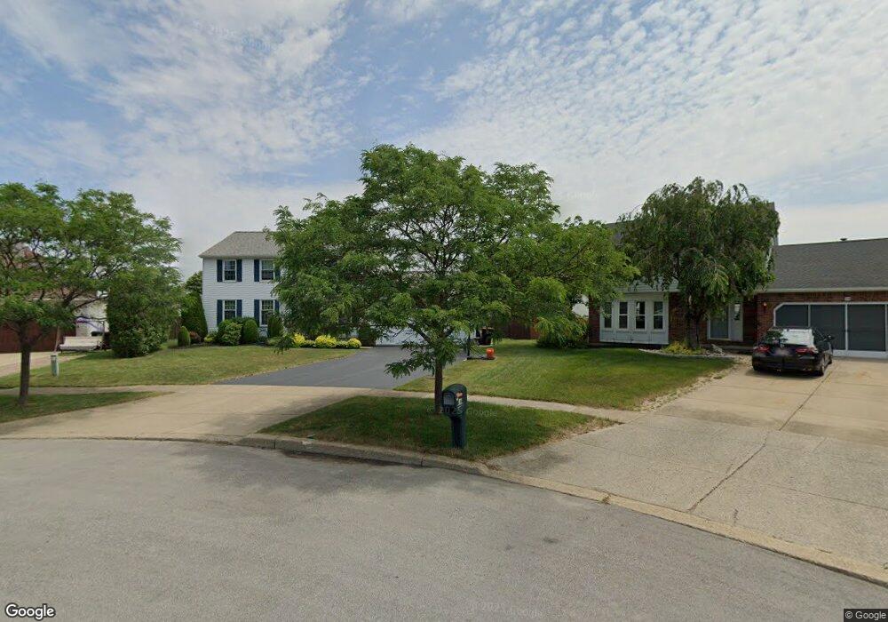
14 Robins Nest Ct Lancaster, NY 14086
Estimated Value: $444,302 - $473,000
4
Beds
3
Baths
2,016
Sq Ft
$229/Sq Ft
Est. Value
About This Home
This home is located at 14 Robins Nest Ct, Lancaster, NY 14086 and is currently estimated at $461,826, approximately $229 per square foot. 14 Robins Nest Ct is a home located in Erie County with nearby schools including William Street School, Lancaster Middle School, and Lancaster High School.
Ownership History
Date
Name
Owned For
Owner Type
Purchase Details
Closed on
May 16, 2007
Sold by
Gioia Elio and Gioia Lisa M
Bought by
Pannozzo Christopher M and Pannozzo Rose T
Current Estimated Value
Home Financials for this Owner
Home Financials are based on the most recent Mortgage that was taken out on this home.
Original Mortgage
$154,400
Outstanding Balance
$93,968
Interest Rate
6.18%
Mortgage Type
Purchase Money Mortgage
Estimated Equity
$367,858
Create a Home Valuation Report for This Property
The Home Valuation Report is an in-depth analysis detailing your home's value as well as a comparison with similar homes in the area
Home Values in the Area
Average Home Value in this Area
Purchase History
| Date | Buyer | Sale Price | Title Company |
|---|---|---|---|
| Pannozzo Christopher M | $193,000 | None Available |
Source: Public Records
Mortgage History
| Date | Status | Borrower | Loan Amount |
|---|---|---|---|
| Open | Pannozzo Christopher M | $154,400 |
Source: Public Records
Tax History Compared to Growth
Tax History
| Year | Tax Paid | Tax Assessment Tax Assessment Total Assessment is a certain percentage of the fair market value that is determined by local assessors to be the total taxable value of land and additions on the property. | Land | Improvement |
|---|---|---|---|---|
| 2024 | $7,292 | $258,000 | $45,000 | $213,000 |
| 2023 | $7,268 | $258,000 | $45,000 | $213,000 |
| 2022 | $7,069 | $258,000 | $45,000 | $213,000 |
| 2021 | $6,983 | $258,000 | $45,000 | $213,000 |
| 2020 | $6,671 | $258,000 | $45,000 | $213,000 |
| 2019 | $5,898 | $199,000 | $35,000 | $164,000 |
| 2018 | $6,128 | $199,000 | $35,000 | $164,000 |
| 2017 | $3,018 | $199,000 | $35,000 | $164,000 |
| 2016 | $5,919 | $199,000 | $35,000 | $164,000 |
| 2015 | -- | $199,000 | $35,000 | $164,000 |
| 2014 | -- | $199,000 | $35,000 | $164,000 |
Source: Public Records
Map
Nearby Homes
- 40 Michael Anthony Ln
- 4858 William St
- 18 Fieldstream Ln
- 36 Fieldstream Ln
- 21 Fieldstream Ln
- 57 Stream View Ln
- 457 Aurora St
- 31 Northwood Dr
- 11 Cidermill Ct
- 53 Vía Donato E
- 4830 Transit Rd
- 1 Southpoint Dr
- 12 Arrow Trail
- 0 Wendel St
- 142 Albert Dr
- 61 Southwest Pkwy
- 36 Ashley Dr
- 180 Prince Dr
- 300 Aurora St
- 64 Gordon Ave
- 12 Robins Nest Ct
- 16 Robins Nest Ct
- 11 Squirrel Run
- 15 Squirrel Run
- 22 Country Place
- 24 Country Place
- 9 Squirrel Run
- 10 Robins Nest Ct
- 19 Robins Nest Ct
- 17 Squirrel Run
- 26 Country Place
- 20 Country Place
- 8 Robins Nest Ct
- 17 Robins Nest Ct
- 7 Squirrel Run
- 28 Country Place
- 5 Quail Hollow
- 19 Squirrel Run
- 18 Country Place
- 6 Robins Nest Ct