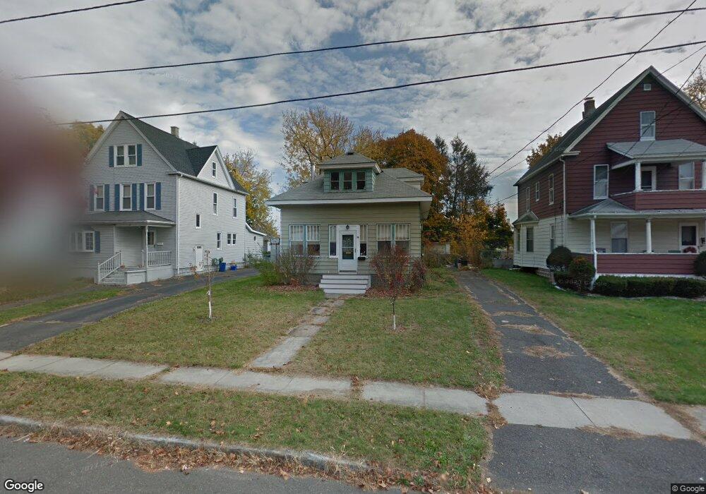
14 Roosevelt Ave Holyoke, MA 01040
Estimated Value: $214,000 - $280,000
2
Beds
1
Bath
838
Sq Ft
$289/Sq Ft
Est. Value
About This Home
This home is located at 14 Roosevelt Ave, Holyoke, MA 01040 and is currently estimated at $242,279, approximately $289 per square foot. 14 Roosevelt Ave is a home located in Hampden County with nearby schools including Lt. Elmer J. McMahon Elementary School, Holyoke High School, and Holyoke Community Charter School.
Ownership History
Date
Name
Owned For
Owner Type
Purchase Details
Closed on
Dec 5, 1983
Bought by
Garrant Theresa
Current Estimated Value
Create a Home Valuation Report for This Property
The Home Valuation Report is an in-depth analysis detailing your home's value as well as a comparison with similar homes in the area
Home Values in the Area
Average Home Value in this Area
Purchase History
| Date | Buyer | Sale Price | Title Company |
|---|---|---|---|
| Garrant Theresa | -- | -- |
Source: Public Records
Mortgage History
| Date | Status | Borrower | Loan Amount |
|---|---|---|---|
| Open | Garrant Theresa | $50,800 | |
| Closed | Garrant Theresa | $22,500 | |
| Closed | Garrant Theresa | $15,000 |
Source: Public Records
Tax History Compared to Growth
Tax History
| Year | Tax Paid | Tax Assessment Tax Assessment Total Assessment is a certain percentage of the fair market value that is determined by local assessors to be the total taxable value of land and additions on the property. | Land | Improvement |
|---|---|---|---|---|
| 2025 | $3,022 | $173,100 | $49,700 | $123,400 |
| 2024 | $2,818 | $148,700 | $47,100 | $101,600 |
| 2023 | $2,707 | $144,300 | $47,100 | $97,200 |
| 2022 | $2,602 | $135,100 | $47,100 | $88,000 |
| 2021 | $2,486 | $129,000 | $45,700 | $83,300 |
| 2020 | $2,309 | $121,000 | $45,700 | $75,300 |
| 2019 | $2,259 | $117,100 | $45,700 | $71,400 |
| 2018 | $2,169 | $113,400 | $45,700 | $67,700 |
| 2017 | $2,174 | $113,400 | $45,700 | $67,700 |
| 2016 | $2,178 | $113,900 | $47,100 | $66,800 |
| 2015 | $2,169 | $113,900 | $47,100 | $66,800 |
Source: Public Records
Map
Nearby Homes
- 70-72 Westfield Rd
- 43 King St
- 78 Hitchcock St
- 155 Huron Ave
- 128 Ontario Ave
- 46 Cherry Hill
- 53 Calumet Rd
- 244 Ontario Ave
- 25 W Glen St
- 56 Laurel St
- 84 Woodland St
- 85 Woodland St
- 1793 Northampton St
- 44 Laurel St
- 286 Westfield Rd
- 16 Charles St
- 13 Willow St
- 69 Gates St
- 133-135 Brown Ave
- 33 Maple Crest Cir Unit D
- 12 Roosevelt Ave
- 16 Roosevelt Ave
- 10 Roosevelt Ave
- 493 Hillside Ave
- 497 Hillside Ave
- 8 Roosevelt Ave
- 489 Hillside Ave
- 15 Roosevelt Ave
- 505 Hillside Ave Unit 507
- 17 Roosevelt Ave Unit 19
- 95 Westfield Rd
- 21 Roosevelt Ave
- 83 Westfield Rd
- 485 Hillside Ave
- 7 Roosevelt Ave
- 27 Roosevelt Ave
- 32 King St
- 30 King St
- 34 King St
- 81 Westfield Rd