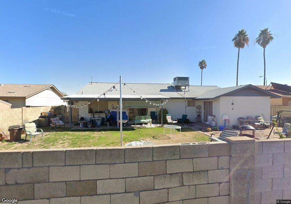
14 S 132nd St Chandler, AZ 85225
East Chandler NeighborhoodEstimated Value: $372,832 - $457,000
--
Bed
2
Baths
1,571
Sq Ft
$273/Sq Ft
Est. Value
About This Home
This home is located at 14 S 132nd St, Chandler, AZ 85225 and is currently estimated at $429,458, approximately $273 per square foot. 14 S 132nd St is a home located in Maricopa County with nearby schools including Chandler Traditional Academy-Humphrey, Willis Junior High School, and BASIS Chandler Primary North Campus.
Ownership History
Date
Name
Owned For
Owner Type
Purchase Details
Closed on
Nov 22, 2021
Sold by
Padilla Ernesto O and Padilla Margarita
Bought by
Padilla Ernesto O and Padilla Margarita
Current Estimated Value
Home Financials for this Owner
Home Financials are based on the most recent Mortgage that was taken out on this home.
Original Mortgage
$166,984
Interest Rate
3.05%
Mortgage Type
New Conventional
Purchase Details
Closed on
Jul 12, 2021
Sold by
Padilla Ernest O and Padilla Margie
Bought by
Padilla Ernesto O and Padilla Margarita
Create a Home Valuation Report for This Property
The Home Valuation Report is an in-depth analysis detailing your home's value as well as a comparison with similar homes in the area
Home Values in the Area
Average Home Value in this Area
Purchase History
| Date | Buyer | Sale Price | Title Company |
|---|---|---|---|
| Padilla Ernesto O | -- | Amrock Inc | |
| Padilla Ernest O | -- | Amrock Inc | |
| Padilla Ernesto O | -- | None Available |
Source: Public Records
Mortgage History
| Date | Status | Borrower | Loan Amount |
|---|---|---|---|
| Closed | Padilla Ernest O | $166,984 |
Source: Public Records
Tax History Compared to Growth
Tax History
| Year | Tax Paid | Tax Assessment Tax Assessment Total Assessment is a certain percentage of the fair market value that is determined by local assessors to be the total taxable value of land and additions on the property. | Land | Improvement |
|---|---|---|---|---|
| 2025 | $1,272 | $16,330 | -- | -- |
| 2024 | $1,229 | $15,553 | -- | -- |
| 2023 | $1,229 | $32,130 | $6,420 | $25,710 |
| 2022 | $1,186 | $24,300 | $4,860 | $19,440 |
| 2021 | $1,243 | $23,230 | $4,640 | $18,590 |
| 2020 | $1,237 | $21,060 | $4,210 | $16,850 |
| 2019 | $1,190 | $18,710 | $3,740 | $14,970 |
| 2018 | $1,152 | $16,780 | $3,350 | $13,430 |
| 2017 | $1,074 | $15,210 | $3,040 | $12,170 |
| 2016 | $1,034 | $14,360 | $2,870 | $11,490 |
| 2015 | $1,002 | $13,600 | $2,720 | $10,880 |
Source: Public Records
Map
Nearby Homes
- 6 S 132nd St
- 76 N 133rd St
- 25 N Cottonwood St Unit 41
- 195 N Cottonwood St Unit 21
- 124 S Cottonwood St
- 2691 E Hulet Dr
- 2480 E Stephens Place
- 2214 E Frye Rd
- 252 N Wilson Dr
- 15802 S Gilbert Rd Unit 58
- 2660 E Hulet Dr
- 15606 S Gilbert Rd Unit 128
- 382 N Ashley Dr
- 111 N Soho Place
- 2253 E Kempton Rd
- 83 N Amber Ct
- 2403 E San Tan St
- 333 S Cooper Rd
- 13640 E Williams Field Rd
- 28 E Joseph Way
- 12 S 132nd St
- 16 S 132nd St
- 101 S 131st St
- 103 S 131st St
- 10 S 132nd St
- 18 S 132nd St
- 2500 E Commonwealth Cir
- 2501 E Commonwealth Cir
- 39 S 132nd St
- 105 S 131st St
- 2316 E Boston St
- 8 S 132nd St
- 61 S 132nd St
- 20 S 132nd St
- 19 N 132nd St
- 2319 E Commonwealth Ave
- 107 S 131st St
- 2505 E Commonwealth Cir
- 73 S 132nd St
- 2317 E Boston St