14 S Baptist St Newport, RI 02840
Historic Hill NeighborhoodHighlights
- Marina
- Wood Flooring
- Tennis Courts
- Golf Course Community
- No HOA
- Laundry Room
About This Home
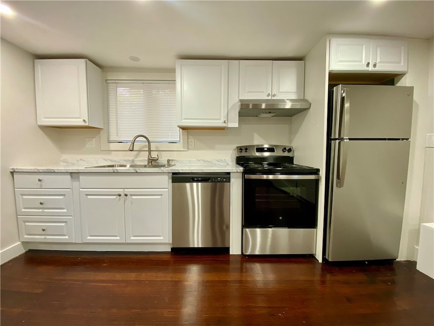
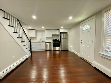
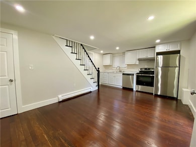
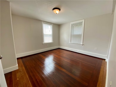
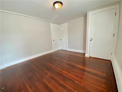
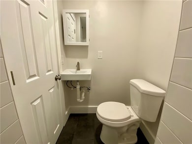
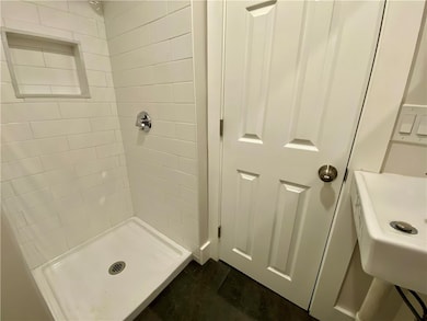
Live in the heart of downtown Newport! Great walkability to restaurants, shopping and everything historic Newport has to offer. Freshly renovated, with new kitchen cabinets, granite countertops and brand new stainless steel appliances. This great property offers 4 bedrooms, 2 full bathrooms and beautiful hardwood floors throughout. Full basement with laundry and space for storage.
Property Details
Home Type
- Apartment
Est. Annual Taxes
- $5,667
Year Built
- Built in 1870
Parking
- No Garage
Home Design
- Entry on the 1st floor
Interior Spaces
- 1,000 Sq Ft Home
- 2-Story Property
- Wood Flooring
Kitchen
- Oven
- Range
- Dishwasher
Bedrooms and Bathrooms
- 4 Bedrooms
- 2 Full Bathrooms
Laundry
- Laundry Room
- Dryer
- Washer
Unfinished Basement
- Basement Fills Entire Space Under The House
- Interior and Exterior Basement Entry
Utilities
- No Cooling
- Heating System Uses Gas
- Gas Water Heater
Additional Features
- 2,178 Sq Ft Lot
- Property near a hospital
Listing and Financial Details
- Property Available on 9/1/25
- 12 Month Lease Term
- Assessor Parcel Number 14SOUTHBAPTISTSTNEWP
Community Details
Overview
- No Home Owners Association
- 2 Units
Amenities
- Shops
- Restaurant
- Public Transportation
Recreation
- Marina
- Golf Course Community
- Tennis Courts
- Recreation Facilities
Pet Policy
- Pets Allowed
Map
Source: State-Wide MLS
MLS Number: 1392921
APN: NEWP-000032-000000-000162
Disclaimer: Certain information contained herein is derived from information provided by parties other than Homes.com. All information provided is deemed reliable, but is not guaranteed to be accurate and should be independently verified.
![]() IDX information is provided exclusively for personal, non-commercial use, and may not be used for any purpose other than to identify prospective properties consumers may be interested in purchasing. Information is deemed reliable but not guaranteed.
IDX information is provided exclusively for personal, non-commercial use, and may not be used for any purpose other than to identify prospective properties consumers may be interested in purchasing. Information is deemed reliable but not guaranteed.
Copyright © 2025 State-Wide MLS, Inc. All rights reserved.
- 30 S Baptist St
- 28 Young St
- 13 Dean Ave
- 24 Brown and Howard Wharf Unit 301
- 30 Brewer St Unit 3
- 29 Bacheller St
- 6 Sharon Ct
- 604 Thames & 4 Dixon St
- 62 Dixon St
- 45 Hammond St Unit 2
- 26 Franklin St
- 60 Prospect Hill St
- 364 Bellevue Ave Unit A1
- 364 Bellevue Ave Unit D7
- 57 Clinton St Unit 57C
- 20 Berkeley Ave Unit 2
- 1 Harbor View Dr
- 39 Connection St
- 91 Houston Ave
- 19 Slocum St
