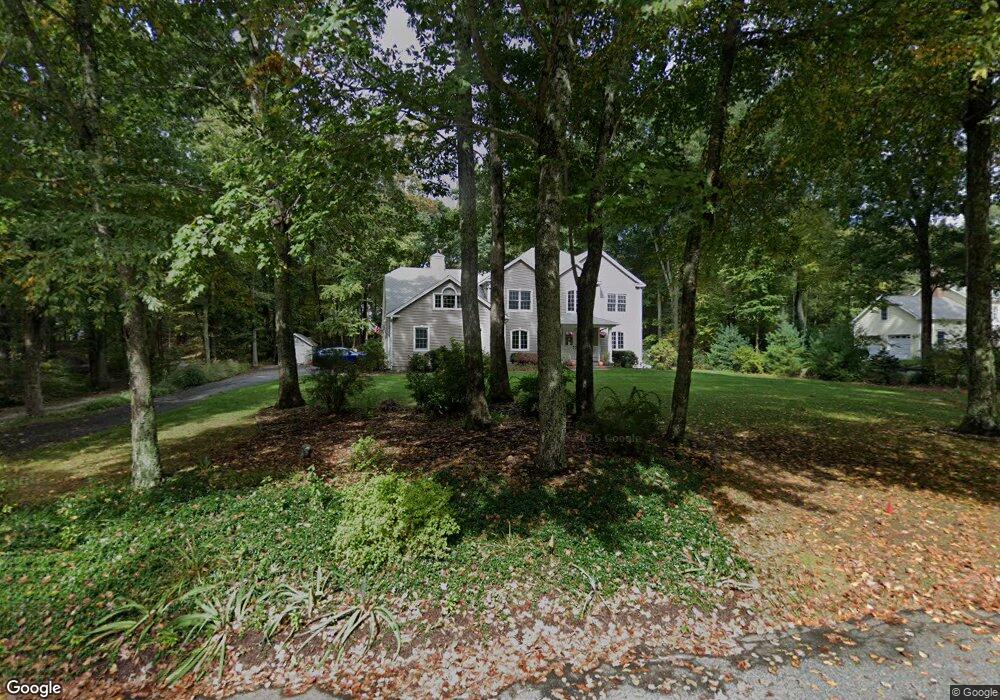
14 Sanfords Bridge East Haddam, CT 06423
Estimated Value: $661,000 - $881,000
4
Beds
3
Baths
3,069
Sq Ft
$250/Sq Ft
Est. Value
About This Home
This home is located at 14 Sanfords Bridge, East Haddam, CT 06423 and is currently estimated at $765,866, approximately $249 per square foot. 14 Sanfords Bridge is a home located in Middlesex County with nearby schools including East Haddam Elementary School, Nathan Hale-Ray Middle School, and Nathan Hale-Ray High School.
Ownership History
Date
Name
Owned For
Owner Type
Purchase Details
Closed on
Aug 1, 2005
Sold by
Gosrowski Raymond M and Gosrowski Brook A
Bought by
Macneil Keith and Macneil Wendi
Current Estimated Value
Purchase Details
Closed on
Dec 10, 2001
Sold by
Trinity Land Trust Inc
Bought by
Goskowski Raymond M and Goskowski Brook A
Create a Home Valuation Report for This Property
The Home Valuation Report is an in-depth analysis detailing your home's value as well as a comparison with similar homes in the area
Home Values in the Area
Average Home Value in this Area
Purchase History
| Date | Buyer | Sale Price | Title Company |
|---|---|---|---|
| Macneil Keith | $544,512 | -- | |
| Goskowski Raymond M | $390,000 | -- |
Source: Public Records
Mortgage History
| Date | Status | Borrower | Loan Amount |
|---|---|---|---|
| Open | Goskowski Raymond M | $254,000 | |
| Closed | Goskowski Raymond M | $334,000 | |
| Closed | Goskowski Raymond M | $355,000 |
Source: Public Records
Tax History Compared to Growth
Tax History
| Year | Tax Paid | Tax Assessment Tax Assessment Total Assessment is a certain percentage of the fair market value that is determined by local assessors to be the total taxable value of land and additions on the property. | Land | Improvement |
|---|---|---|---|---|
| 2025 | $10,194 | $363,290 | $75,520 | $287,770 |
| 2024 | $9,722 | $363,290 | $75,520 | $287,770 |
| 2023 | $9,355 | $363,290 | $75,520 | $287,770 |
| 2022 | $9,048 | $284,610 | $61,310 | $223,300 |
| 2021 | $8,664 | $284,610 | $61,310 | $223,300 |
| 2020 | $8,664 | $284,610 | $61,310 | $223,300 |
| 2019 | $8,664 | $284,610 | $61,310 | $223,300 |
| 2018 | $8,442 | $284,610 | $61,310 | $223,300 |
| 2017 | $9,244 | $312,520 | $75,080 | $237,440 |
| 2016 | $9,172 | $312,520 | $75,080 | $237,440 |
| 2015 | $8,963 | $312,520 | $75,080 | $237,440 |
| 2014 | $8,720 | $312,550 | $75,110 | $237,440 |
Source: Public Records
Map
Nearby Homes
- 253 Clark Hill Rd
- 0 Florida Rd
- 317 Tater Hill Rd
- 401 Fox Hopyard Rd
- 206 Sheepskin Hollow Rd
- 301 Fox Hopyard Rd
- 331 Tater Hill Rd
- 708 Fox Hopyard Rd
- 703 Fox Hopyard Rd
- 709 Fox Hopyard Rd
- 205 & 206 Fox Hopyard Rd
- 45 Clark Rd
- 31 Birch Hill Rd
- 2 Acorn Dr
- 85 Salem Rd
- 257 Norwich Salem Rd
- 53 Shanaghans Rd
- 63 Schulman Veslak Rd
- 0 Hopyard Rd Unit 24103236
- 0 Norwich Salem Rd
- 12 Sanfords Bridge
- 12 Sanford's Bridge Rd
- 16 Sanfords Bridge
- 9 Sanfords Bridge
- 10 Sanfords Bridge
- 11 Sanfords Bridge
- 7 Sanfords Bridge
- 22 Sanfords Bridge
- 15 Sanfords Bridge
- 5 Sanfords Bridge
- 19 Sanfords Bridge
- 18 Sanfords Bridge
- 17 Sanfords Bridge
- 21 Sanfords Bridge
- 24 Sanfords Bridge
- 23 Sanfords Bridge
- 18 Sanford Bridge
- 219 Clark Hill Rd
- 32 Woodmont Cir