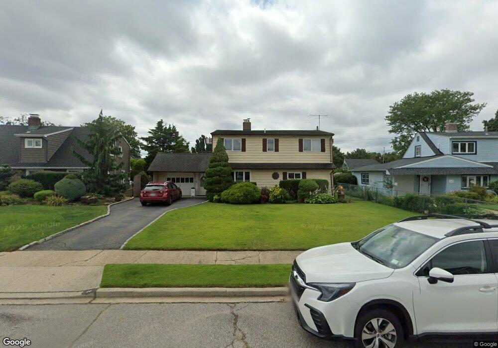
14 Satellite Ln Levittown, NY 11756
Estimated Value: $648,000 - $725,230
--
Bed
2
Baths
1,400
Sq Ft
$490/Sq Ft
Est. Value
About This Home
This home is located at 14 Satellite Ln, Levittown, NY 11756 and is currently estimated at $686,615, approximately $490 per square foot. 14 Satellite Ln is a home located in Nassau County with nearby schools including J Fred Sparke Elementary School, Michael F. Stokes Elementary School, and Island Trees Middle School.
Ownership History
Date
Name
Owned For
Owner Type
Purchase Details
Closed on
Jul 2, 2008
Sold by
Fairclough Warren
Bought by
Benedetti Damon
Current Estimated Value
Purchase Details
Closed on
Jan 28, 2000
Sold by
Norman Lillian and Schweikert Lillian
Bought by
Fairclough Warren and Fairclough Maureen
Home Financials for this Owner
Home Financials are based on the most recent Mortgage that was taken out on this home.
Original Mortgage
$212,650
Interest Rate
8.15%
Mortgage Type
Purchase Money Mortgage
Create a Home Valuation Report for This Property
The Home Valuation Report is an in-depth analysis detailing your home's value as well as a comparison with similar homes in the area
Home Values in the Area
Average Home Value in this Area
Purchase History
| Date | Buyer | Sale Price | Title Company |
|---|---|---|---|
| Benedetti Damon | $380,000 | -- | |
| Fairclough Warren | $229,000 | Commonwealth Land Title Ins |
Source: Public Records
Mortgage History
| Date | Status | Borrower | Loan Amount |
|---|---|---|---|
| Previous Owner | Fairclough Warren | $212,650 |
Source: Public Records
Tax History Compared to Growth
Tax History
| Year | Tax Paid | Tax Assessment Tax Assessment Total Assessment is a certain percentage of the fair market value that is determined by local assessors to be the total taxable value of land and additions on the property. | Land | Improvement |
|---|---|---|---|---|
| 2025 | $10,234 | $450 | $238 | $212 |
| 2024 | $3,562 | $437 | $232 | $205 |
| 2023 | $9,432 | $451 | $239 | $212 |
| 2022 | $9,432 | $446 | $239 | $207 |
| 2021 | $12,160 | $421 | $223 | $198 |
| 2020 | $8,730 | $581 | $506 | $75 |
| 2019 | $8,549 | $623 | $455 | $168 |
| 2018 | $8,731 | $743 | $0 | $0 |
| 2017 | $5,684 | $743 | $543 | $200 |
| 2016 | $9,457 | $743 | $543 | $200 |
| 2015 | $3,480 | $743 | $543 | $200 |
| 2014 | $3,480 | $743 | $543 | $200 |
| 2013 | $3,200 | $743 | $543 | $200 |
Source: Public Records
Map
Nearby Homes
- 125 Meridian Rd
- 48 Bloomingdale Rd
- 79 Constellation Rd
- 3520 Mallard Rd
- 190 Meridian Rd
- 16 Celestial Ln
- 94 Mallard Rd
- 7 Lowland Rd
- 4 Wagon Ln
- 22 Lowland Rd
- 41 Meridian Rd
- 35 Lowland Rd
- 43 Farmedge Rd
- 34 Marksman Ln
- 45 Universe Dr
- 37 Marksman Ln
- 17 Trumpet Ln
- 328 Henry St
- 12 Meridian Rd
- 3680 Stokes Ave
- 12 Satellite Ln
- 18 Satellite Ln
- 107 Meridian Rd
- 111 Meridian Rd
- 105 Meridian Rd
- 8 Satellite Ln
- 20 Satellite Ln
- 2 Comet Ln
- 115 Meridian Rd
- 15 Satellite Ln
- 4 Comet Ln
- 103 Meridian Rd
- 24 Satellite Ln
- 19 Satellite Ln
- 4 Satellite Ln
- 119 Meridian Rd
- 23 Satellite Ln
- 123 Meridian Rd
- 26 Satellite Ln
- 99 Meridian Rd