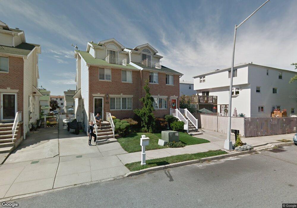
14 Shale St Staten Island, NY 10314
New Springville NeighborhoodEstimated Value: $487,000 - $549,000
--
Bed
4
Baths
1,128
Sq Ft
$459/Sq Ft
Est. Value
About This Home
This home is located at 14 Shale St, Staten Island, NY 10314 and is currently estimated at $517,881, approximately $459 per square foot. 14 Shale St is a home located in Richmond County with nearby schools including P.S. 69 - Daniel D. Tompkins, Is 72 Rocco Laurie, and Susan E Wagner High School.
Ownership History
Date
Name
Owned For
Owner Type
Purchase Details
Closed on
Feb 8, 2001
Sold by
Schuyler Edmund M and Schuyler Michele
Bought by
Jordan Eugene and Jordan Pamela D George
Current Estimated Value
Home Financials for this Owner
Home Financials are based on the most recent Mortgage that was taken out on this home.
Original Mortgage
$166,250
Outstanding Balance
$60,366
Interest Rate
7.15%
Estimated Equity
$457,515
Create a Home Valuation Report for This Property
The Home Valuation Report is an in-depth analysis detailing your home's value as well as a comparison with similar homes in the area
Home Values in the Area
Average Home Value in this Area
Purchase History
| Date | Buyer | Sale Price | Title Company |
|---|---|---|---|
| Jordan Eugene | $175,000 | Stewart Title Insurance Co |
Source: Public Records
Mortgage History
| Date | Status | Borrower | Loan Amount |
|---|---|---|---|
| Open | Jordan Eugene | $166,250 |
Source: Public Records
Tax History Compared to Growth
Tax History
| Year | Tax Paid | Tax Assessment Tax Assessment Total Assessment is a certain percentage of the fair market value that is determined by local assessors to be the total taxable value of land and additions on the property. | Land | Improvement |
|---|---|---|---|---|
| 2025 | $3,577 | $27,480 | $4,986 | $22,494 |
| 2024 | $3,589 | $25,800 | $5,271 | $20,529 |
| 2023 | $3,396 | $18,120 | $4,311 | $13,809 |
| 2022 | $3,126 | $27,240 | $7,080 | $20,160 |
| 2021 | $3,091 | $24,300 | $7,080 | $17,220 |
| 2020 | $3,118 | $21,540 | $7,080 | $14,460 |
| 2019 | $3,055 | $22,080 | $7,080 | $15,000 |
| 2018 | $2,781 | $15,100 | $5,383 | $9,717 |
| 2017 | $2,604 | $14,246 | $6,618 | $7,628 |
| 2016 | $2,377 | $13,440 | $7,080 | $6,360 |
| 2015 | $2,419 | $15,044 | $5,606 | $9,438 |
| 2014 | $2,419 | $14,193 | $5,289 | $8,904 |
Source: Public Records
Map
Nearby Homes
- 9 Furness Place
- 110 Lewiston St
- 4 Bangor St
- 23 Bangor St
- 41 Furness Place
- 86 Evans St
- 49 Lewiston St
- 63 Bogota St
- 72 Bangor St
- 1372 Forest Hill Rd Unit 1b
- 1372 Forest Hill Rd Unit 1a
- 44 McVeigh Ave
- 36 Bogota St
- 43 Bogota St
- 507 Klondike Ave
- 22 Braisted Ave
- 63 Monahan Ave
- 45 Braisted Ave
- 2 Belmar Dr E Unit 1
- 2 Belmar Dr E