14 Sovocol Point Rd Lansing, NY 14882
Lansing NeighborhoodEstimated Value: $923,000 - $995,000
3
Beds
3
Baths
2,560
Sq Ft
$371/Sq Ft
Est. Value
About This Home
This home is located at 14 Sovocol Point Rd, Lansing, NY 14882 and is currently estimated at $950,665, approximately $371 per square foot. 14 Sovocol Point Rd is a home with nearby schools including Raymond C. Buckley Elementary School, Lansing Middle School, and Lansing High School.
Ownership History
Date
Name
Owned For
Owner Type
Purchase Details
Closed on
Aug 2, 2010
Sold by
Larkin Agency Inc
Bought by
Sharp Sandra
Current Estimated Value
Home Financials for this Owner
Home Financials are based on the most recent Mortgage that was taken out on this home.
Original Mortgage
$103,500
Outstanding Balance
$69,249
Interest Rate
4.78%
Mortgage Type
Unknown
Estimated Equity
$881,416
Purchase Details
Closed on
Sep 16, 1995
Sold by
Sovocool Roger B
Bought by
Larkin Agency Inc
Create a Home Valuation Report for This Property
The Home Valuation Report is an in-depth analysis detailing your home's value as well as a comparison with similar homes in the area
Home Values in the Area
Average Home Value in this Area
Purchase History
| Date | Buyer | Sale Price | Title Company |
|---|---|---|---|
| Sharp Sandra | $103,500 | James Salk | |
| Larkin Agency Inc | $122,000 | -- |
Source: Public Records
Mortgage History
| Date | Status | Borrower | Loan Amount |
|---|---|---|---|
| Open | Sharp Sandra | $103,500 |
Source: Public Records
Tax History
| Year | Tax Paid | Tax Assessment Tax Assessment Total Assessment is a certain percentage of the fair market value that is determined by local assessors to be the total taxable value of land and additions on the property. | Land | Improvement |
|---|---|---|---|---|
| 2024 | $18,122 | $726,000 | $131,500 | $594,500 |
| 2023 | $18,158 | $660,000 | $131,500 | $528,500 |
| 2022 | $16,660 | $600,000 | $131,500 | $468,500 |
| 2021 | $14,669 | $490,000 | $131,500 | $358,500 |
| 2020 | $14,819 | $490,000 | $131,500 | $358,500 |
| 2019 | $4,368 | $490,000 | $131,500 | $358,500 |
| 2018 | $14,682 | $490,000 | $131,500 | $358,500 |
| 2017 | $10,247 | $490,000 | $131,500 | $358,500 |
| 2016 | $12,244 | $410,000 | $103,400 | $306,600 |
| 2015 | -- | $410,000 | $103,400 | $306,600 |
| 2014 | -- | $410,000 | $103,400 | $306,600 |
Source: Public Records
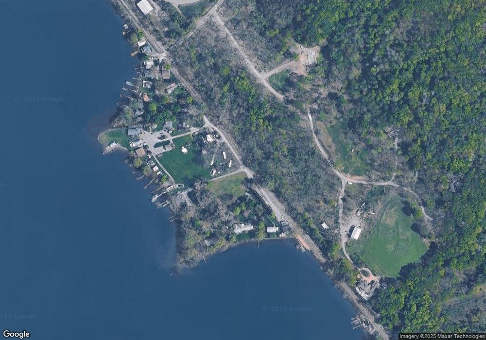
Map
Nearby Homes
- 0 Lansing Station Rd Unit 408039
- 8445 Bergen Beach Rd
- 4364 Lower Covert Rd
- 8447 Bergen Beach Rd
- 5234 Oak Harbor Rd- Lot #10
- 3040 Frontenac Rd
- 0 E Seneca Rd
- 8130 Bainbridge Beach Rd
- 88 Dublin Rd
- 53 E Main St
- 424 Lansingville Rd
- 4040 County Road 141
- Lot 3 Camp St
- 14 Crescent Way
- 26 Crescent Way
- 4 Crescent Way
- 34 Crescent Way
- 29 Crescent Way
- 27 Crescent Way
- 30 Crescent Way
- 20 Milliken Station Road Extension
- 10 Sovocol Point Rd
- 54 Milliken Station Rd
- 12 Sovocol Point Rd
- 21 Milliken Station Road Extension
- 2 Sovocol Point Rd
- 21 Milliken Station Road Extension
- 50 Milliken Station Road Extension
- 50 Milliken Station Road Extension
- 8 Sovocol Point Rd
- 46 Milliken Station Road Extension
- 46 Milliken Station Extension Rd
- 22 Milliken Station Road Extension
- 40 Milliken Station Extension Rd
- 40 Milliken Station Road Extension
- 13 Milliken Station Road Extension
- 38 Milliken Station Road Extension
- 32 Milliken Station Road Extension
- 30 Milliken Station Road Extension
- 30 Milliken Station Ext Rd
Your Personal Tour Guide
Ask me questions while you tour the home.