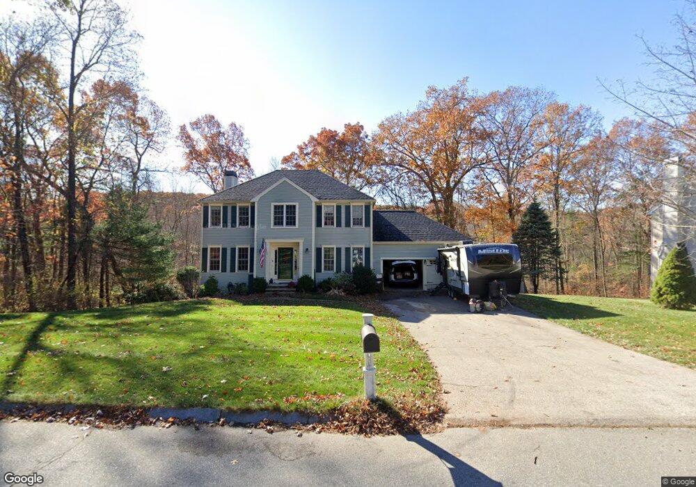
14 Spindle Tree Ln Amesbury, MA 01913
Estimated Value: $843,188 - $982,000
4
Beds
3
Baths
2,500
Sq Ft
$367/Sq Ft
Est. Value
About This Home
This home is located at 14 Spindle Tree Ln, Amesbury, MA 01913 and is currently estimated at $918,297, approximately $367 per square foot. 14 Spindle Tree Ln is a home located in Essex County with nearby schools including Amesbury High School.
Ownership History
Date
Name
Owned For
Owner Type
Purchase Details
Closed on
Jun 20, 2018
Sold by
Thorpe William M and Thorpe Tanya M
Bought by
Thorpe William M
Current Estimated Value
Home Financials for this Owner
Home Financials are based on the most recent Mortgage that was taken out on this home.
Original Mortgage
$370,000
Outstanding Balance
$317,274
Interest Rate
4.5%
Mortgage Type
New Conventional
Estimated Equity
$601,023
Purchase Details
Closed on
May 13, 2010
Sold by
Thorpe William M and Thorpe Tayna M
Bought by
Amesbury Town Of
Purchase Details
Closed on
Jun 29, 2006
Sold by
Weller Kendall R and Weller Scott J
Bought by
Thorpe William and Thorpe Tanya M
Purchase Details
Closed on
Aug 22, 2003
Sold by
Watts Michael D and Watts Priscilla M
Bought by
Weller Scott J and Weller Kendall R
Purchase Details
Closed on
Sep 28, 2001
Sold by
Nicholls Thomas E and Nicholls Diana M
Bought by
Watts Michael D and Watts Priscilla M
Create a Home Valuation Report for This Property
The Home Valuation Report is an in-depth analysis detailing your home's value as well as a comparison with similar homes in the area
Home Values in the Area
Average Home Value in this Area
Purchase History
| Date | Buyer | Sale Price | Title Company |
|---|---|---|---|
| Thorpe William M | -- | -- | |
| Amesbury Town Of | -- | -- | |
| Thorpe William | $460,000 | -- | |
| Weller Scott J | $449,900 | -- | |
| Watts Michael D | $381,000 | -- |
Source: Public Records
Mortgage History
| Date | Status | Borrower | Loan Amount |
|---|---|---|---|
| Open | Thorpe William M | $370,000 | |
| Previous Owner | Watts Michael D | $305,000 |
Source: Public Records
Tax History
| Year | Tax Paid | Tax Assessment Tax Assessment Total Assessment is a certain percentage of the fair market value that is determined by local assessors to be the total taxable value of land and additions on the property. | Land | Improvement |
|---|---|---|---|---|
| 2025 | $11,923 | $779,300 | $311,900 | $467,400 |
| 2024 | $11,386 | $728,000 | $294,700 | $433,300 |
| 2023 | $10,415 | $637,400 | $256,400 | $381,000 |
| 2022 | $9,986 | $564,500 | $224,400 | $340,100 |
| 2021 | $9,669 | $529,800 | $182,900 | $346,900 |
| 2020 | $347 | $503,500 | $176,300 | $327,200 |
| 2019 | $387 | $478,900 | $176,300 | $302,600 |
| 2018 | $8,464 | $445,700 | $167,800 | $277,900 |
| 2017 | $8,696 | $435,900 | $167,800 | $268,100 |
| 2016 | $8,670 | $427,500 | $167,800 | $259,700 |
| 2015 | $8,518 | $414,700 | $167,800 | $246,900 |
| 2014 | $8,323 | $396,900 | $167,800 | $229,100 |
Source: Public Records
Map
Nearby Homes
- 24 1st St
- 14 2nd St
- 21 Pond Hill Rd
- 19 S Hunt Rd
- 15 Wendy Way
- 3 B St
- 20 Freedom Way Unit 20
- 32 W Shore Rd
- 7 Hoyt Ave
- 119-B E Main St
- 19 Maple St Unit 21
- 1 Hillside Ave Unit 3
- 30 Bear Hill Rd
- 5 Tuxbury Ln
- 51 Bear Hill Rd
- 61 E Main St
- 47 Cutter Ln Unit 47
- 4 Larnard Ct
- 19 Cutter Ln Unit 19
- 20 Lincoln Ct
- 16 Spindle Tree Ln
- 18 Spindle Tree Ln
- 15 Spindle Tree Ln
- 17 Spindle Tree Ln
- 11 Spindle Tree Ln
- 19 Spindle Tree Ln
- 15 Tallowood Ln
- 20 Spindle Tree Ln
- 12 Spindle Tree Ln
- 13 Tallowood Ln
- 9 Spindle Tree Ln
- 3 Lancewood Dr
- 22 Tallowood Ln
- 22 Spindle Tree Ln
- 5 Lancewood Dr
- 7 Spindle Tree Ln
- 10 Spindle Tree Ln
- 2 Lancewood Dr
- 21 Spindle Tree Ln
- 20 Tallowood Ln
Your Personal Tour Guide
Ask me questions while you tour the home.