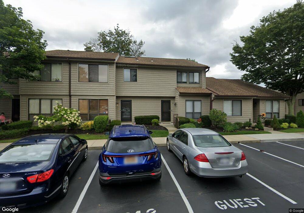
14 Stanford Ct Wantagh, NY 11793
Estimated Value: $627,000 - $701,521
2
Beds
3
Baths
1,305
Sq Ft
$509/Sq Ft
Est. Value
About This Home
This home is located at 14 Stanford Ct, Wantagh, NY 11793 and is currently estimated at $664,261, approximately $509 per square foot. 14 Stanford Ct is a home located in Nassau County with nearby schools including Lee Road Elementary School, Jonas E. Salk Middle School, and Gen. Douglas MacArthur Senior High School.
Ownership History
Date
Name
Owned For
Owner Type
Purchase Details
Closed on
Aug 9, 2016
Sold by
Flanagan Susan and Estate Of Linda Kiehl
Bought by
Moore Meredith
Current Estimated Value
Home Financials for this Owner
Home Financials are based on the most recent Mortgage that was taken out on this home.
Original Mortgage
$41,200
Outstanding Balance
$29,969
Interest Rate
3.42%
Mortgage Type
Credit Line Revolving
Estimated Equity
$634,292
Purchase Details
Closed on
May 18, 1998
Sold by
Schachter Kenneth
Bought by
Kiehl Linda
Create a Home Valuation Report for This Property
The Home Valuation Report is an in-depth analysis detailing your home's value as well as a comparison with similar homes in the area
Home Values in the Area
Average Home Value in this Area
Purchase History
| Date | Buyer | Sale Price | Title Company |
|---|---|---|---|
| Moore Meredith | -- | New York Title Research Corp | |
| Kiehl Linda | $196,500 | -- |
Source: Public Records
Mortgage History
| Date | Status | Borrower | Loan Amount |
|---|---|---|---|
| Open | Moore Meredith | $41,200 | |
| Open | Moore Meredith | $329,600 |
Source: Public Records
Tax History Compared to Growth
Tax History
| Year | Tax Paid | Tax Assessment Tax Assessment Total Assessment is a certain percentage of the fair market value that is determined by local assessors to be the total taxable value of land and additions on the property. | Land | Improvement |
|---|---|---|---|---|
| 2025 | $14,070 | $446 | $181 | $265 |
| 2024 | $2,991 | $421 | $169 | $252 |
| 2023 | $13,156 | $450 | $181 | $269 |
| 2022 | $13,156 | $425 | $181 | $244 |
| 2021 | $16,492 | $401 | $156 | $245 |
| 2020 | $11,085 | $602 | $429 | $173 |
| 2019 | $12,282 | $680 | $463 | $217 |
| 2018 | $13,188 | $680 | $0 | $0 |
| 2017 | $7,766 | $713 | $485 | $228 |
| 2016 | $10,879 | $713 | $461 | $252 |
| 2015 | $2,905 | $713 | $430 | $283 |
| 2014 | $2,905 | $713 | $430 | $283 |
| 2013 | $2,866 | $750 | $452 | $298 |
Source: Public Records
Map
Nearby Homes
- 84 Stanford Ct
- 236 Duckpond Dr S
- 231 Willowood Dr
- 200 Willowood Dr
- 55 Duckpond Dr N
- 1100 Wantagh Ave
- 3405 Lufberry Ave
- 27 Wildflower Ln
- 3356 Carrollton Ave
- 1243 Peapond Rd
- 22 Balsam Ct
- 3418 Silverton Ave
- 2889 Anderson St
- 1519 Wantagh Ave
- 1200 Roger Rd
- 2794 Janet Ave
- 19 Wayside Ln
- 86 Weaving Ln
- 22 Twin Ln N
- 1497 Carroll St
- 15 Stanford Ct
- 13 Stanford Ct
- 16C Stanford Ct
- 16 Stanford Ct Unit C
- 17B Stanford Ct
- 17 Stanford Ct Unit B
- 12 Stanford Ct Unit A
- 18 Stanford Ct
- 3145 Lenore Ct
- 11 Stanford Ct Unit B
- 10 Stanford Ct
- 83 Stanford Ct Unit B
- 83B Stanford Ct
- 9 Stanford Ct
- 20 Stanford Ct Unit B
- 82 Stanford Ct
- 57 Stanford Ct Unit A
- 21 Stanford Ct
- 3143 Lenore Ct
- 8 Stanford Ct