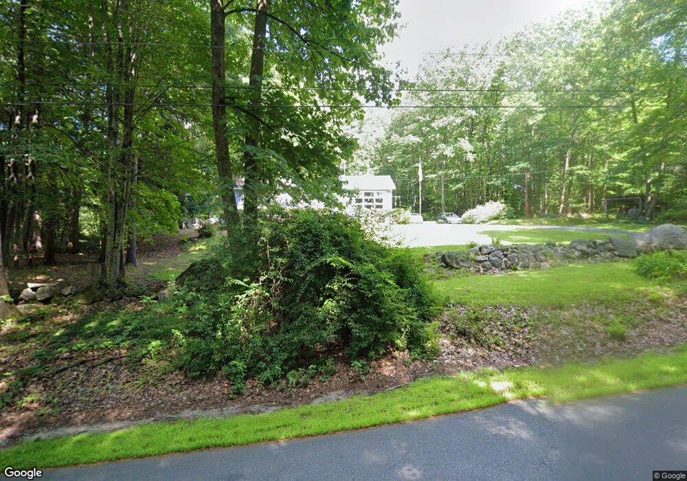
14 Stark Ln Dunbarton, NH 03046
Estimated Value: $404,231 - $548,000
3
Beds
1
Bath
1,372
Sq Ft
$336/Sq Ft
Est. Value
About This Home
This home is located at 14 Stark Ln, Dunbarton, NH 03046 and is currently estimated at $461,058, approximately $336 per square foot. 14 Stark Ln is a home located in Merrimack County with nearby schools including Dunbarton Elementary School, Bow Memorial School, and Bow High School.
Ownership History
Date
Name
Owned For
Owner Type
Purchase Details
Closed on
Jul 6, 2015
Sold by
Mullen Frederick J and Mullen Leone
Bought by
Mullen Ft
Current Estimated Value
Purchase Details
Closed on
Mar 8, 2002
Sold by
John R Swindlehurst Re
Bought by
Murphy Richard L and Murphy Patricia D
Home Financials for this Owner
Home Financials are based on the most recent Mortgage that was taken out on this home.
Original Mortgage
$74,000
Interest Rate
7.01%
Create a Home Valuation Report for This Property
The Home Valuation Report is an in-depth analysis detailing your home's value as well as a comparison with similar homes in the area
Home Values in the Area
Average Home Value in this Area
Purchase History
| Date | Buyer | Sale Price | Title Company |
|---|---|---|---|
| Mullen Ft | -- | -- | |
| Murphy Richard L | $100,000 | -- |
Source: Public Records
Mortgage History
| Date | Status | Borrower | Loan Amount |
|---|---|---|---|
| Previous Owner | Murphy Richard L | $74,000 |
Source: Public Records
Tax History
| Year | Tax Paid | Tax Assessment Tax Assessment Total Assessment is a certain percentage of the fair market value that is determined by local assessors to be the total taxable value of land and additions on the property. | Land | Improvement |
|---|---|---|---|---|
| 2025 | $6,345 | $388,300 | $146,100 | $242,200 |
| 2024 | $5,851 | $221,800 | $79,200 | $142,600 |
| 2023 | $5,671 | $221,800 | $79,200 | $142,600 |
| 2022 | $5,097 | $221,800 | $79,200 | $142,600 |
| 2021 | $5,192 | $221,800 | $79,200 | $142,600 |
| 2020 | $4,942 | $221,800 | $79,200 | $142,600 |
| 2018 | $3,902 | $173,200 | $63,100 | $110,100 |
| 2017 | $4,436 | $173,200 | $63,100 | $110,100 |
| 2016 | $4,153 | $173,200 | $63,100 | $110,100 |
| 2015 | $4,086 | $173,200 | $63,100 | $110,100 |
| 2014 | $3,896 | $184,300 | $63,100 | $121,200 |
| 2013 | -- | $184,300 | $63,100 | $121,200 |
Source: Public Records
Map
Nearby Homes
- 66 Winslow Rd
- 71 Overlook Dr
- 192 Grapevine Rd
- 1003 School St
- 311 S Sugar Hill Rd
- 352 S Sugar Hill Rd
- 0 Als Dr Unit 196
- 1 Kelso Dr
- 120 Hooksett Turnpike
- 4 Cedar Ln
- 21 Hooksett Turnpike
- 43 Hampshire Hills Dr
- 1 Bona Vista Dr
- 916 River Rd
- 0 Brown Hill Rd Unit 5032600
- 111 Page Rd
- 732 Concord Stage Rd Unit 7
- 244 Page Rd
- 0 Huntington Hill Rd Unit 69
- 99 Brown Hill Rd
Your Personal Tour Guide
Ask me questions while you tour the home.