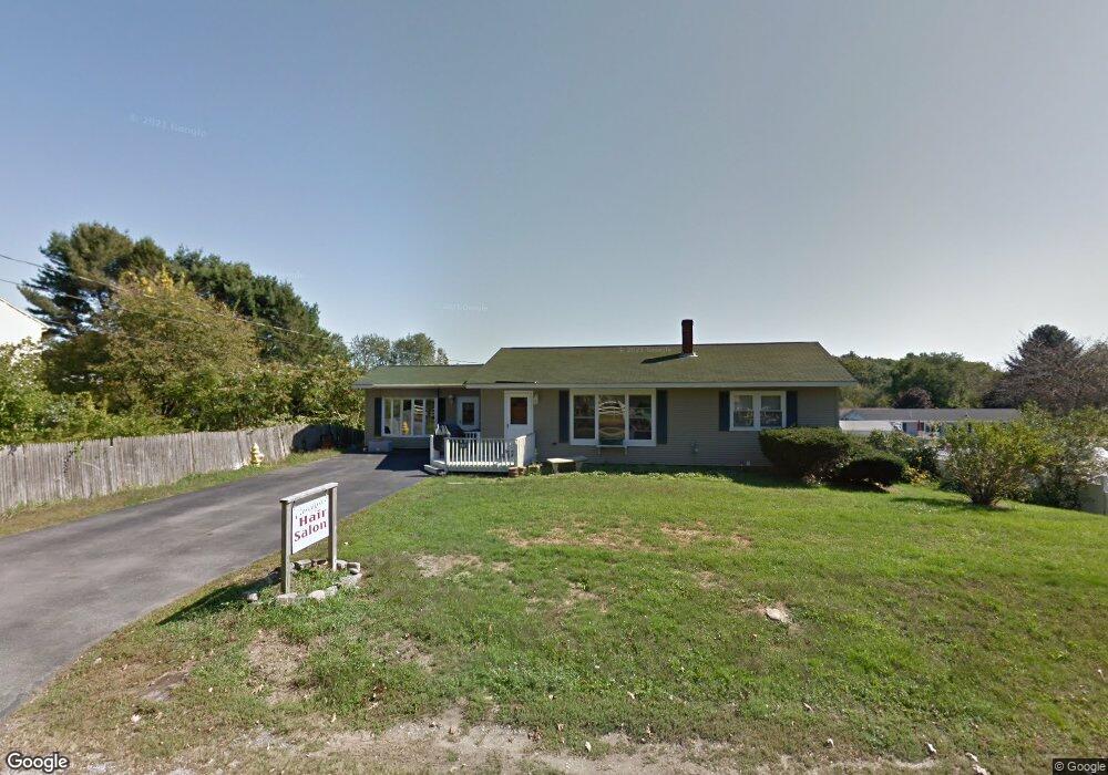
14 Stevenson Rd Kittery, ME 03904
Estimated Value: $486,000 - $597,000
3
Beds
3
Baths
1,777
Sq Ft
$307/Sq Ft
Est. Value
About This Home
This home is located at 14 Stevenson Rd, Kittery, ME 03904 and is currently estimated at $545,895, approximately $307 per square foot. 14 Stevenson Rd is a home with nearby schools including Shapleigh School, Horace Mitchell Primary School, and Robert W Traip Academy.
Ownership History
Date
Name
Owned For
Owner Type
Purchase Details
Closed on
Sep 18, 2013
Sold by
Hanscom Carolyn L
Bought by
Stacy Aaron J
Current Estimated Value
Home Financials for this Owner
Home Financials are based on the most recent Mortgage that was taken out on this home.
Original Mortgage
$229,635
Interest Rate
4.42%
Mortgage Type
New Conventional
Create a Home Valuation Report for This Property
The Home Valuation Report is an in-depth analysis detailing your home's value as well as a comparison with similar homes in the area
Home Values in the Area
Average Home Value in this Area
Purchase History
| Date | Buyer | Sale Price | Title Company |
|---|---|---|---|
| Stacy Aaron J | -- | -- |
Source: Public Records
Mortgage History
| Date | Status | Borrower | Loan Amount |
|---|---|---|---|
| Closed | Stacy Aaron J | $229,635 |
Source: Public Records
Tax History
| Year | Tax Paid | Tax Assessment Tax Assessment Total Assessment is a certain percentage of the fair market value that is determined by local assessors to be the total taxable value of land and additions on the property. | Land | Improvement |
|---|---|---|---|---|
| 2024 | $4,933 | $347,400 | $98,900 | $248,500 |
| 2023 | $4,728 | $347,400 | $98,900 | $248,500 |
| 2022 | $4,683 | $347,400 | $98,900 | $248,500 |
| 2021 | $4,311 | $331,600 | $98,900 | $232,700 |
| 2020 | $4,176 | $323,700 | $98,900 | $224,800 |
| 2019 | $3,797 | $218,200 | $63,000 | $155,200 |
| 2018 | $3,666 | $218,200 | $63,000 | $155,200 |
| 2017 | $3,600 | $218,200 | $63,000 | $155,200 |
| 2016 | $3,197 | $218,200 | $63,000 | $155,200 |
| 2015 | $3,419 | $218,200 | $63,000 | $155,200 |
| 2014 | $3,386 | $218,200 | $63,000 | $155,200 |
| 2013 | $3,321 | $218,200 | $63,000 | $155,200 |
Source: Public Records
Map
Nearby Homes
- 19 Aspen Cir
- 22 Summer Ln
- 19 Seward Farm Ln
- 100 Shepard's Cove Rd Unit H305
- 100 Shepard's Cove Rd Unit F204
- 100 Shepard's Cove Rd Unit G107
- 100 Shepards Cove Rd Unit F204
- 8 Caslyn Dr
- 5 Spinney Way Unit 9
- 42 Caslyn Dr
- 30-3 Regency Cir Unit 3
- 10 Bayview Ln
- 161 Bolt Hill Rd
- 8 Spruce Point Rd
- 1128 State Rd
- 30 Drake Ln
- 25 Regency Cir Unit 1
- 333 Main St
- 10 Lewis Rd
- 27 Oak Terrace
- 12 Stevenson Rd
- 16 Stevenson Rd
- 3 Greenfield Dr
- 1 Greenfield Dr
- 9 Stevenson Rd
- 10 Stevenson Rd
- 4 Greenfield Dr
- 18 Stevenson Rd
- 2 Meadow Ln
- 7 Stevenson Rd
- 2 Greenfield Dr
- 15 Stevenson Rd
- 8 Stevenson Rd
- 2 Jewett Ln
- 4 Meadow Ln
- 4 Meadow Ln Unit 4
- 22 Stevenson Rd
- 23 Stevenson Rd
- 3 Stevenson Rd
- 1 Jewett Ln
Your Personal Tour Guide
Ask me questions while you tour the home.