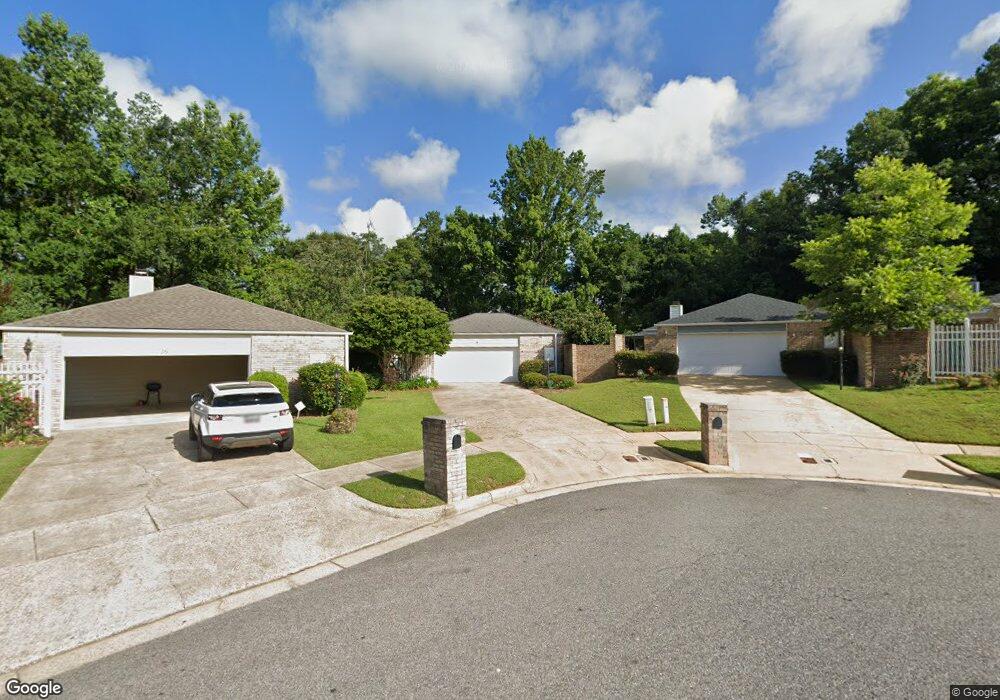
14 Stonebridge Ct Mobile, AL 36608
Richelieu NeighborhoodEstimated Value: $259,657 - $283,000
3
Beds
2
Baths
2,160
Sq Ft
$125/Sq Ft
Est. Value
About This Home
This home is located at 14 Stonebridge Ct, Mobile, AL 36608 and is currently estimated at $269,164, approximately $124 per square foot. 14 Stonebridge Ct is a home located in Mobile County with nearby schools including ER Dickson Elementary School, CL Scarborough Middle School, and WP Davidson High School.
Ownership History
Date
Name
Owned For
Owner Type
Purchase Details
Closed on
Jun 15, 2022
Sold by
Fetterman Iris S
Bought by
Clark Alvah E and Clark Jean Newman
Current Estimated Value
Home Financials for this Owner
Home Financials are based on the most recent Mortgage that was taken out on this home.
Original Mortgage
$220,500
Outstanding Balance
$208,965
Interest Rate
5.3%
Mortgage Type
Balloon
Estimated Equity
$60,199
Create a Home Valuation Report for This Property
The Home Valuation Report is an in-depth analysis detailing your home's value as well as a comparison with similar homes in the area
Home Values in the Area
Average Home Value in this Area
Purchase History
| Date | Buyer | Sale Price | Title Company |
|---|---|---|---|
| Clark Alvah E | $245,000 | Smith Jason D |
Source: Public Records
Mortgage History
| Date | Status | Borrower | Loan Amount |
|---|---|---|---|
| Open | Clark Alvah E | $220,500 |
Source: Public Records
Tax History
| Year | Tax Paid | Tax Assessment Tax Assessment Total Assessment is a certain percentage of the fair market value that is determined by local assessors to be the total taxable value of land and additions on the property. | Land | Improvement |
|---|---|---|---|---|
| 2025 | $3,186 | $50,020 | $7,600 | $42,420 |
| 2024 | $3,186 | $47,280 | $7,600 | $39,680 |
| 2023 | $3,012 | $41,700 | $7,500 | $34,200 |
| 2022 | $999 | $18,230 | $3,750 | $14,480 |
| 2021 | $869 | $15,950 | $3,750 | $12,200 |
| 2020 | $889 | $16,300 | $3,750 | $12,550 |
| 2019 | $855 | $15,710 | $3,000 | $12,710 |
| 2018 | $874 | $16,060 | $0 | $0 |
| 2017 | $949 | $15,620 | $0 | $0 |
| 2016 | $1,051 | $19,160 | $0 | $0 |
| 2013 | $1,074 | $18,640 | $0 | $0 |
Source: Public Records
Map
Nearby Homes
- 12 Stonebridge Ct
- 15 Stonebridge Ct
- 22 Stonebridge Ct
- 22 Breydon Ct
- 29 Cobblestone Way W
- 0 1st St Unit 7617566
- 0 1st St Unit 7651445
- 0 5th St Unit 9/47-48-49 385342
- 363 Park Ave S
- 6701 Dickens Ferry Rd Unit 44
- 6701 Dickens Ferry Rd Unit 91
- 6701 Dickens Ferry Rd Unit 74
- 6701 Dickens Ferry Rd Unit 118
- 6701 Dickens Ferry Rd Unit 83
- 6701 Dickens Ferry Rd Unit 125
- 6701 Dickens Ferry Rd Unit 106
- 6701 Dickens Ferry Rd Unit 78
- 6701 Dickens Ferry Rd Unit 33
- 6701 Dickens Ferry Rd Unit 88
- 6701 Dickens Ferry Rd Unit 100
- 16 Stonebridge Ct
- 79 Cody Rd S
- 18 Stonebridge Ct
- 10 Stonebridge Ct
- 20 Stonebridge Ct
- 164 Cody Rd S
- 13 Stonebridge Ct
- 17 Stonebridge Ct
- 19 Stonebridge Ct
- 24 Stonebridge Ct
- 21 Stonebridge Ct
- 78 Cody Rd S
- 23 Stonebridge Ct
- 26 Stonebridge Ct
- 8067 Wilroh Dr W
- 22 Hedgestone Way W
- 8063 Wilroh Dr W
- 24 Hedgestone Way W
- 20 Hedgestone Way W
- 7065 Stonebridge Ct
Your Personal Tour Guide
Ask me questions while you tour the home.