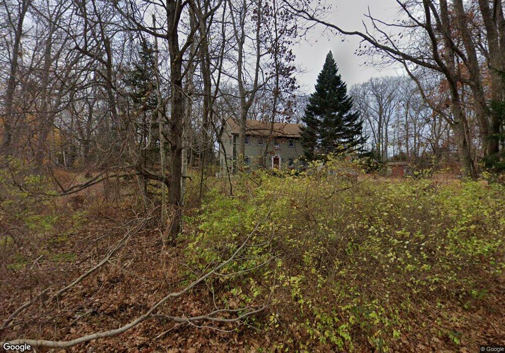
14 Stovers Point Rd Harpswell, ME 04079
Harpswell Neck NeighborhoodEstimated Value: $554,029 - $738,000
3
Beds
3
Baths
2,080
Sq Ft
$320/Sq Ft
Est. Value
About This Home
This home is located at 14 Stovers Point Rd, Harpswell, ME 04079 and is currently estimated at $664,757, approximately $319 per square foot. 14 Stovers Point Rd is a home with nearby schools including Mt Ararat High School.
Create a Home Valuation Report for This Property
The Home Valuation Report is an in-depth analysis detailing your home's value as well as a comparison with similar homes in the area
Home Values in the Area
Average Home Value in this Area
Tax History Compared to Growth
Tax History
| Year | Tax Paid | Tax Assessment Tax Assessment Total Assessment is a certain percentage of the fair market value that is determined by local assessors to be the total taxable value of land and additions on the property. | Land | Improvement |
|---|---|---|---|---|
| 2024 | $2,318 | $364,500 | $109,400 | $255,100 |
| 2023 | $2,223 | $364,500 | $109,400 | $255,100 |
| 2022 | $2,151 | $364,500 | $109,400 | $255,100 |
| 2021 | $1,820 | $269,200 | $96,100 | $173,100 |
| 2020 | $1,814 | $269,200 | $96,100 | $173,100 |
| 2019 | $1,804 | $269,200 | $96,100 | $173,100 |
| 2018 | $1,744 | $269,200 | $96,100 | $173,100 |
| 2017 | $1,739 | $269,200 | $96,100 | $173,100 |
| 2016 | $1,723 | $269,200 | $96,100 | $173,100 |
| 2015 | $1,680 | $269,200 | $96,100 | $173,100 |
| 2013 | $1,556 | $269,200 | $96,100 | $173,100 |
Source: Public Records
Map
Nearby Homes
- 10 Irene Ave
- 10 S Colony Branch Rd
- 16 Ash Point Rd Unit 16
- 18 Ash Point Rd
- 30 Osbourne Row
- 8 & 2 Kane Ln
- 6 Kane Ln
- 1450 Harpswell Neck Rd
- 1689 Harpswell Islands Rd
- 87 Lowells Cove Rd
- 19 Hugh Ave
- 1 Mallard Pond Rd
- 20 Spruce Ledge Rd
- 41 Spruce Brook Dr
- 0 Bayview Rd Unit 2 1632776
- Lot 2A Allen Point Rd
- Lot 2B Allen Point Rd
- Lot 129 Harpswell Neck Rd
- 20 Long Point Island
- lot C Long Point Rd