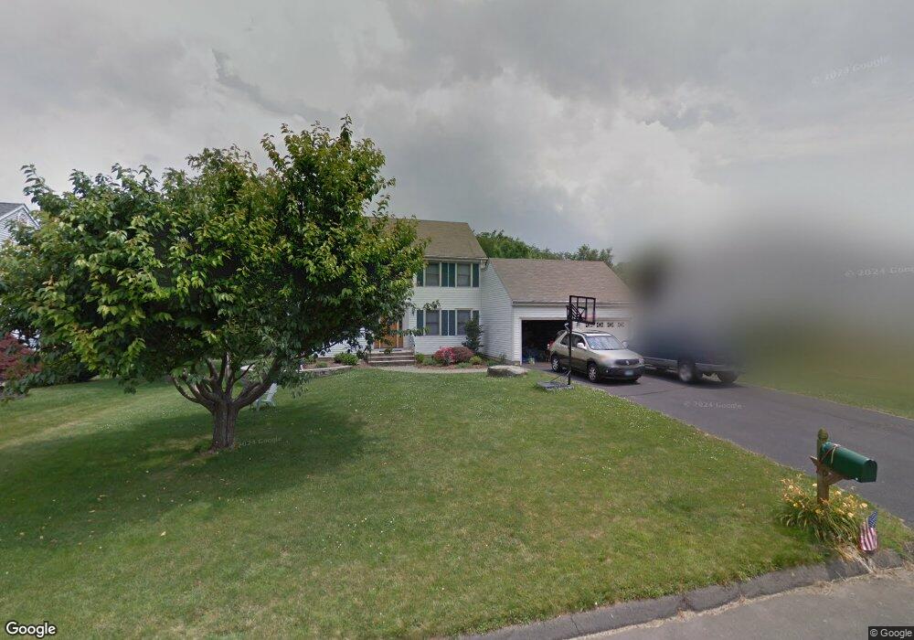
14 Swing Ln Wethersfield, CT 06109
Estimated Value: $595,874 - $684,000
4
Beds
3
Baths
2,208
Sq Ft
$288/Sq Ft
Est. Value
About This Home
This home is located at 14 Swing Ln, Wethersfield, CT 06109 and is currently estimated at $636,969, approximately $288 per square foot. 14 Swing Ln is a home located in Hartford County with nearby schools including Samuel B. Webb Elementary School, Silas Deane Middle School, and Wethersfield High School.
Ownership History
Date
Name
Owned For
Owner Type
Purchase Details
Closed on
Feb 1, 1999
Sold by
Dillon Kevin F and Dillon Anne Marie
Bought by
Ciarcia Joseph S and Ciarcia Linda L
Current Estimated Value
Purchase Details
Closed on
Aug 30, 1994
Sold by
Lacava Constr Co
Bought by
Dillon Kevin F and Dillon Anne Marie
Create a Home Valuation Report for This Property
The Home Valuation Report is an in-depth analysis detailing your home's value as well as a comparison with similar homes in the area
Home Values in the Area
Average Home Value in this Area
Purchase History
| Date | Buyer | Sale Price | Title Company |
|---|---|---|---|
| Ciarcia Joseph S | $250,000 | -- | |
| Dillon Kevin F | $240,000 | -- |
Source: Public Records
Mortgage History
| Date | Status | Borrower | Loan Amount |
|---|---|---|---|
| Open | Dillon Kevin F | $277,000 | |
| Closed | Dillon Kevin F | $295,000 | |
| Closed | Dillon Kevin F | $301,000 |
Source: Public Records
Tax History
| Year | Tax Paid | Tax Assessment Tax Assessment Total Assessment is a certain percentage of the fair market value that is determined by local assessors to be the total taxable value of land and additions on the property. | Land | Improvement |
|---|---|---|---|---|
| 2025 | $15,356 | $372,530 | $116,100 | $256,430 |
| 2024 | $9,935 | $229,880 | $77,770 | $152,110 |
| 2023 | $9,604 | $229,880 | $77,770 | $152,110 |
| 2022 | $9,443 | $229,880 | $77,770 | $152,110 |
| 2021 | $9,349 | $229,880 | $77,770 | $152,110 |
| 2020 | $9,354 | $229,880 | $77,770 | $152,110 |
| 2019 | $9,365 | $229,880 | $77,770 | $152,110 |
| 2018 | $9,326 | $228,700 | $81,600 | $147,100 |
| 2017 | $9,095 | $228,700 | $81,600 | $147,100 |
| 2016 | $8,814 | $228,700 | $81,600 | $147,100 |
| 2015 | $8,734 | $228,700 | $81,600 | $147,100 |
| 2014 | $8,402 | $228,700 | $81,600 | $147,100 |
Source: Public Records
Map
Nearby Homes
- 7 Barrington Dr Unit C
- 62 Harold Dr
- 104 Willow St
- 101 Collier Rd
- 0 Collier Rd
- 76 Luca Lane Homesite 8
- 61 Luca Ln
- 8 Stella Dr
- 5 Robeth Ln
- 6 Vinnie Dr
- 378 Cypress Rd
- 20 Forest Dr
- 47 Forest Dr
- 229 Cottonwood Rd Unit 229
- 508 Highland St
- 455 Brimfield Rd
- 155 Old Common Rd
- 32 Flagler St
- 98 Crown Ridge
- 19 Tanner Crossing Unit 19
- 22 Swing Ln
- 6 Swing Ln
- 42 Cider Brook Dr
- 32 Swing Ln
- 36 Cider Brook Dr
- 43 Harvest Hill
- 49 Harvest Hill
- 46 Swing Ln
- 17 Swing Ln
- 5 Swing Ln
- 28 Cider Brook Dr
- 37 Harvest Hill
- 52 Swing Ln
- 47 Cider Brook Dr
- 72 Cider Brook Dr
- 39 Cider Brook Dr
- 55 Cider Brook Dr
- 50 Harvest Hill
- 22 Cider Brook Dr
- 84 Cider Brook Dr
Your Personal Tour Guide
Ask me questions while you tour the home.