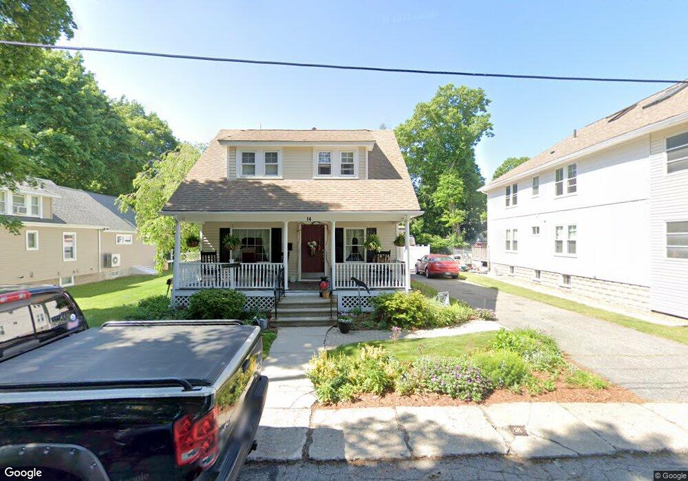
14 Taft St Uxbridge, MA 01569
Estimated Value: $465,292 - $537,000
3
Beds
3
Baths
2,058
Sq Ft
$246/Sq Ft
Est. Value
About This Home
This home is located at 14 Taft St, Uxbridge, MA 01569 and is currently estimated at $505,323, approximately $245 per square foot. 14 Taft St is a home located in Worcester County with nearby schools including Uxbridge High School, Our Lady of the Valley Regional School, and Whitinsville Christian School.
Ownership History
Date
Name
Owned For
Owner Type
Purchase Details
Closed on
Aug 28, 1997
Sold by
Creighton Jill and Creighton Kevin T
Bought by
Cota Christopher M and Cota Kimberlle A
Current Estimated Value
Home Financials for this Owner
Home Financials are based on the most recent Mortgage that was taken out on this home.
Original Mortgage
$116,207
Interest Rate
7.41%
Mortgage Type
Purchase Money Mortgage
Create a Home Valuation Report for This Property
The Home Valuation Report is an in-depth analysis detailing your home's value as well as a comparison with similar homes in the area
Home Values in the Area
Average Home Value in this Area
Purchase History
| Date | Buyer | Sale Price | Title Company |
|---|---|---|---|
| Cota Christopher M | $118,000 | -- |
Source: Public Records
Mortgage History
| Date | Status | Borrower | Loan Amount |
|---|---|---|---|
| Open | Cota Christopher M | $200,000 | |
| Closed | Cota Christopher M | $116,000 | |
| Closed | Cota Christopher M | $116,207 |
Source: Public Records
Tax History
| Year | Tax Paid | Tax Assessment Tax Assessment Total Assessment is a certain percentage of the fair market value that is determined by local assessors to be the total taxable value of land and additions on the property. | Land | Improvement |
|---|---|---|---|---|
| 2025 | $51 | $389,400 | $139,000 | $250,400 |
| 2024 | $4,832 | $374,000 | $131,800 | $242,200 |
| 2023 | $4,609 | $330,400 | $114,000 | $216,400 |
| 2022 | $4,151 | $273,800 | $99,800 | $174,000 |
| 2021 | $4,297 | $271,600 | $97,600 | $174,000 |
| 2020 | $4,075 | $243,400 | $96,200 | $147,200 |
| 2019 | $4,063 | $234,200 | $96,200 | $138,000 |
| 2018 | $3,925 | $228,600 | $96,200 | $132,400 |
| 2017 | $3,943 | $232,500 | $86,100 | $146,400 |
| 2016 | $3,816 | $217,200 | $68,500 | $148,700 |
| 2015 | $3,736 | $214,700 | $68,500 | $146,200 |
Source: Public Records
Map
Nearby Homes
- 16 Farnum St
- 5 Peter St Unit D
- 79 High St
- 56 S Main St
- 86 Hunter Rd
- 26 Rivulet St
- 24 Olde Canal Way Unit 24
- 71 Rivulet St Unit B
- 3 Strathmore Shire Unit A
- 12 Hartford Ave E
- 223 Mendon St
- 376 Douglas St
- 138 Elm St
- 61 Spring Hill Dr Unit 61
- 218 E Hartford Ave Unit 218
- 44 Pouts Ln
- 35 Pouts Ln
- 0 Homestead Ave
- 395 High St
- 76 Pouts Ln
- 16 Taft St
- 12 Taft St
- 21 Snowling Rd
- 27 Snowling Rd
- 8 Taft St
- 8 Taft St
- 15 Taft St
- 31 Snowling Rd Unit 2 Front
- 31 Snowling Rd Unit Two
- 31 Snowling Rd Unit 2
- 31 Snowling Rd Unit 1
- 31 Snowling Rd
- 31 Snowling Rd Unit Left Side
- 31 Snowling Rd Unit 3
- 17 Taft St
- 16 Seagrave St
- 12 Seagrave St
- 12 Seagrave St Unit 12 rear
- 9 Taft St
- 9 Taft St
Your Personal Tour Guide
Ask me questions while you tour the home.