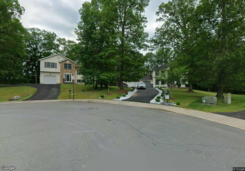
14 Thomas Point East Stroudsburg, PA 18301
Estimated Value: $319,000 - $437,000
3
Beds
3
Baths
1,300
Sq Ft
$276/Sq Ft
Est. Value
About This Home
This home is located at 14 Thomas Point, East Stroudsburg, PA 18301 and is currently estimated at $359,001, approximately $276 per square foot. 14 Thomas Point is a home with nearby schools including East Stroudsburg Elementary School, J.T. Lambert Intermediate School, and East Stroudsburg Senior High School South.
Ownership History
Date
Name
Owned For
Owner Type
Purchase Details
Closed on
Nov 8, 2007
Sold by
Lts Development Llc
Bought by
Moultrie Donnell and Moultrie Yansi
Current Estimated Value
Home Financials for this Owner
Home Financials are based on the most recent Mortgage that was taken out on this home.
Original Mortgage
$312,000
Outstanding Balance
$205,317
Interest Rate
6.48%
Mortgage Type
New Conventional
Estimated Equity
$153,684
Create a Home Valuation Report for This Property
The Home Valuation Report is an in-depth analysis detailing your home's value as well as a comparison with similar homes in the area
Home Values in the Area
Average Home Value in this Area
Purchase History
| Date | Buyer | Sale Price | Title Company |
|---|---|---|---|
| Moultrie Donnell | $328,800 | Investors Abstract |
Source: Public Records
Mortgage History
| Date | Status | Borrower | Loan Amount |
|---|---|---|---|
| Open | Moultrie Donnell | $312,000 |
Source: Public Records
Tax History Compared to Growth
Tax History
| Year | Tax Paid | Tax Assessment Tax Assessment Total Assessment is a certain percentage of the fair market value that is determined by local assessors to be the total taxable value of land and additions on the property. | Land | Improvement |
|---|---|---|---|---|
| 2025 | $2,409 | $176,740 | $23,290 | $153,450 |
| 2024 | $1,827 | $176,740 | $23,290 | $153,450 |
| 2023 | $6,957 | $176,740 | $23,290 | $153,450 |
| 2022 | $6,917 | $176,740 | $23,290 | $153,450 |
| 2021 | $6,698 | $176,740 | $23,290 | $153,450 |
| 2020 | $6,795 | $176,740 | $23,290 | $153,450 |
| 2019 | $7,518 | $33,310 | $6,000 | $27,310 |
| 2018 | $7,518 | $33,310 | $6,000 | $27,310 |
| 2017 | $7,468 | $33,310 | $6,000 | $27,310 |
| 2016 | $1,511 | $33,310 | $6,000 | $27,310 |
| 2015 | $6,023 | $33,310 | $6,000 | $27,310 |
| 2014 | $6,023 | $33,310 | $6,000 | $27,310 |
Source: Public Records
Map
Nearby Homes
- 727 Milford Rd
- 15 Elm St
- 592 N Courtland St
- 5614 Franklin Hill Rd
- 197 American Way
- 304 Freedom Ln
- 6255 Franklin Hill Rd
- 255 E Broad St
- 236 Secor St
- 182 State St
- 121 Tree Ln
- 188 Spring St
- 204 Lackawanna Ave
- 340 Brookside Ave
- 0 Clubhouse 14 Dr Unit PM-132587
- 137 Independence Rd
- 8 Delilah Rd 8 Rd
- 0 State Road 447 Independence Rd Unit PAMR2004674
- 0 State Road 447 Independence Rd Unit PAMR2004682
- 1127 Fillmore St