14 Trout Brook Ln Weston, CT 06883
Estimated Value: $1,335,000 - $1,650,000
4
Beds
4
Baths
3,897
Sq Ft
$373/Sq Ft
Est. Value
About This Home
This home is located at 14 Trout Brook Ln, Weston, CT 06883 and is currently estimated at $1,453,052, approximately $372 per square foot. 14 Trout Brook Ln is a home located in Fairfield County with nearby schools including Hurlbutt Elementary School, Weston Intermediate School, and Weston Middle School.
Ownership History
Date
Name
Owned For
Owner Type
Purchase Details
Closed on
Mar 6, 2015
Sold by
Tallman Ariane
Bought by
Tallman Jeffrey
Current Estimated Value
Create a Home Valuation Report for This Property
The Home Valuation Report is an in-depth analysis detailing your home's value as well as a comparison with similar homes in the area
Home Values in the Area
Average Home Value in this Area
Purchase History
| Date | Buyer | Sale Price | Title Company |
|---|---|---|---|
| Tallman Jeffrey | -- | -- |
Source: Public Records
Mortgage History
| Date | Status | Borrower | Loan Amount |
|---|---|---|---|
| Closed | Tallman Jeffrey | $350,000 | |
| Previous Owner | Tallman Jeffrey | $352,500 | |
| Previous Owner | Tallman Jeffrey | $350,000 |
Source: Public Records
Tax History
| Year | Tax Paid | Tax Assessment Tax Assessment Total Assessment is a certain percentage of the fair market value that is determined by local assessors to be the total taxable value of land and additions on the property. | Land | Improvement |
|---|---|---|---|---|
| 2025 | $19,060 | $797,510 | $201,040 | $596,470 |
| 2024 | $18,718 | $797,510 | $201,040 | $596,470 |
| 2023 | $18,309 | $553,800 | $201,030 | $352,770 |
| 2022 | $18,259 | $553,800 | $201,030 | $352,770 |
| 2021 | $5,539 | $553,800 | $201,030 | $352,770 |
| 2020 | $17,927 | $553,800 | $201,030 | $352,770 |
| 2019 | $17,927 | $553,800 | $201,030 | $352,770 |
| 2018 | $17,540 | $596,800 | $222,000 | $374,800 |
| 2017 | $17,253 | $596,800 | $222,000 | $374,800 |
| 2016 | $17,045 | $596,800 | $222,000 | $374,800 |
| 2015 | $17,110 | $596,800 | $222,000 | $374,800 |
| 2014 | $16,854 | $596,800 | $222,000 | $374,800 |
Source: Public Records
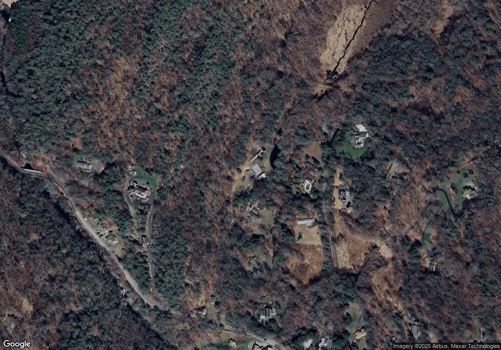
Map
Nearby Homes
- 103 Davis Hill Rd
- 198 Steep Hill Rd
- 9 Woods End Ln
- 4 Colony Rd
- 10 Pheasant Hill Rd
- 274 Lyons Plain Rd
- 14 Codfish Ln
- 39 Tannery Ln S
- 76 Lords Hwy
- 290 Newtown Turnpike
- 140 Mile Common Rd
- 85-95 Old Easton Turnpike
- 28 Old Orchard Dr
- 214 Good Hill Rd
- 11 Judges Hollow Rd
- 30 Lords Hwy
- 85 Westport Rd
- 1375 Westport Turnpike
- 15 Mountain View Dr
- 897 Sport Hill Rd
- 11 Trout Brook Ln
- 18 Bradley Rd
- 14 Bradley Rd
- 3 Trout Brook Ln
- 19 Bradley Rd
- 40 Bradley Rd
- 167 Valley Forge Rd
- 139 Valley Forge Rd
- 37 Bradley Rd
- 153 Valley Forge Rd
- 1 Trout Brook Ln
- 144 Valley Forge Rd
- 144 Valley Forge Rd
- 165 Valley Forge Rd
- 127 Valley Forge Rd
- 7 Bradley Rd
- 47 Bradley Rd
- 43 Bradley Rd
- 121 Valley Forge Rd
- 128 Valley Forge Rd
Your Personal Tour Guide
Ask me questions while you tour the home.