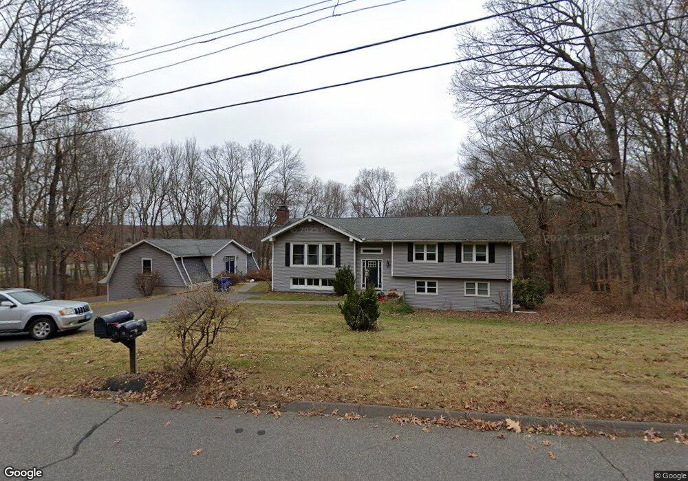
14 Tunxis Trail Bolton, CT 06043
Estimated Value: $386,000 - $454,000
4
Beds
3
Baths
1,391
Sq Ft
$302/Sq Ft
Est. Value
About This Home
This home is located at 14 Tunxis Trail, Bolton, CT 06043 and is currently estimated at $419,511, approximately $301 per square foot. 14 Tunxis Trail is a home located in Tolland County with nearby schools including Bolton Center School, Bolton High School, and Holy Seed Christian Academy.
Ownership History
Date
Name
Owned For
Owner Type
Purchase Details
Closed on
Dec 29, 2009
Sold by
Rockville Bk
Bought by
Michalek James
Current Estimated Value
Home Financials for this Owner
Home Financials are based on the most recent Mortgage that was taken out on this home.
Original Mortgage
$195,360
Outstanding Balance
$124,784
Interest Rate
4.5%
Mortgage Type
FHA
Estimated Equity
$294,727
Purchase Details
Closed on
Oct 19, 2009
Sold by
Rockville Bk
Bought by
Rockville Bk Res Prop
Purchase Details
Closed on
Jul 13, 2009
Sold by
Ramaglia John
Bought by
Rockville Bk
Purchase Details
Closed on
May 13, 2004
Sold by
Rossman Paul
Bought by
Ramaglia John and Ramaglia Lisa
Purchase Details
Closed on
Sep 7, 1994
Sold by
Walsh Richard and Walsh Kathleen
Bought by
Rossman Paul and Rossman Bethany
Create a Home Valuation Report for This Property
The Home Valuation Report is an in-depth analysis detailing your home's value as well as a comparison with similar homes in the area
Home Values in the Area
Average Home Value in this Area
Purchase History
| Date | Buyer | Sale Price | Title Company |
|---|---|---|---|
| Michalek James | $207,000 | -- | |
| Michalek James | $207,000 | -- | |
| Rockville Bk Res Prop | $175,000 | -- | |
| Rockville Bk Res Prop | $175,000 | -- | |
| Rockville Bk | -- | -- | |
| Rockville Bk | -- | -- | |
| Ramaglia John | $218,000 | -- | |
| Ramaglia John | $218,000 | -- | |
| Rossman Paul | $151,000 | -- | |
| Rossman Paul | $151,000 | -- |
Source: Public Records
Mortgage History
| Date | Status | Borrower | Loan Amount |
|---|---|---|---|
| Open | Rossman Paul | $195,360 | |
| Closed | Rossman Paul | $195,360 |
Source: Public Records
Tax History Compared to Growth
Tax History
| Year | Tax Paid | Tax Assessment Tax Assessment Total Assessment is a certain percentage of the fair market value that is determined by local assessors to be the total taxable value of land and additions on the property. | Land | Improvement |
|---|---|---|---|---|
| 2024 | $7,825 | $239,000 | $59,100 | $179,900 |
| 2023 | $7,598 | $173,400 | $59,800 | $113,600 |
| 2022 | $6,837 | $173,400 | $59,800 | $113,600 |
| 2021 | $6,738 | $173,400 | $59,800 | $113,600 |
| 2020 | $6,738 | $173,400 | $59,800 | $113,600 |
| 2019 | $6,763 | $173,400 | $59,800 | $113,600 |
| 2015 | $6,247 | $169,900 | $0 | $0 |
| 2014 | $6,004 | $169,900 | $0 | $0 |
Source: Public Records
Map
Nearby Homes
- 22 Tunxis Trail
- 80 Mount Sumner Dr
- 131 Lake St
- 31 Clark Rd
- 9 Parsons Ct
- 250 Carter St
- 329 Garth Rd
- 827 Middle Turnpike E
- 110 Amanda Dr
- 761 Lydall St
- 27 Deer Run Trail
- 73 Ludlow Rd
- 49 Vernon Rd
- 600 Lydall St
- 68 Deer Run Trail
- 10 Lakeside Ln
- 103 Cliffside Dr Unit E
- 5 Leo J Ln
- 71 Blue Ridge Dr
- 649 Middle Turnpike E Unit F
- 15 Tunxis Trail
- 18 Tunxis Trail
- 11 Tunxis Trail
- 6 Mohegan Trail
- 10 Mohegan Trail
- 14 Mohegan Trail
- 26 Tunxis Trail
- 31 Tunxis Trail
- 62 Mount Sumner Dr
- 16 Iroquois Trail
- 35 Tunxis Trail
- 66 Mount Sumner Dr
- 34 Tunxis Trail
- 58 Mount Sumner Dr
- 30 Tunxis Trail
- 36 Tunxis Trail
- 40 Tunxis Trail
- 12 Iroquois Trail
- 14 Williams Rd
- 70 Mount Sumner Dr