14 Twin Meadow Ln Sudbury, MA 01776
Estimated Value: $1,295,000 - $1,615,000
4
Beds
3
Baths
2,896
Sq Ft
$493/Sq Ft
Est. Value
About This Home
This home is located at 14 Twin Meadow Ln, Sudbury, MA 01776 and is currently estimated at $1,428,970, approximately $493 per square foot. 14 Twin Meadow Ln is a home located in Middlesex County with nearby schools including General John Nixon Elementary School, Ephraim Curtis Middle School, and Lincoln-Sudbury Regional High School.
Ownership History
Date
Name
Owned For
Owner Type
Purchase Details
Closed on
Mar 3, 1992
Sold by
Northeast Svgs Fa
Bought by
Camp James C and Camp Jacqueline
Current Estimated Value
Home Financials for this Owner
Home Financials are based on the most recent Mortgage that was taken out on this home.
Original Mortgage
$200,000
Interest Rate
8.38%
Mortgage Type
Purchase Money Mortgage
Purchase Details
Closed on
Dec 4, 1991
Sold by
Okeefe Timothy J
Bought by
Northeast Sb
Create a Home Valuation Report for This Property
The Home Valuation Report is an in-depth analysis detailing your home's value as well as a comparison with similar homes in the area
Home Values in the Area
Average Home Value in this Area
Purchase History
| Date | Buyer | Sale Price | Title Company |
|---|---|---|---|
| Camp James C | $315,000 | -- | |
| Northeast Sb | $445,000 | -- |
Source: Public Records
Mortgage History
| Date | Status | Borrower | Loan Amount |
|---|---|---|---|
| Open | Northeast Sb | $198,000 | |
| Closed | Northeast Sb | $200,000 | |
| Closed | Northeast Sb | $200,000 |
Source: Public Records
Tax History Compared to Growth
Tax History
| Year | Tax Paid | Tax Assessment Tax Assessment Total Assessment is a certain percentage of the fair market value that is determined by local assessors to be the total taxable value of land and additions on the property. | Land | Improvement |
|---|---|---|---|---|
| 2025 | $19,667 | $1,343,400 | $501,000 | $842,400 |
| 2024 | $18,949 | $1,297,000 | $486,600 | $810,400 |
| 2023 | $17,344 | $1,099,800 | $434,600 | $665,200 |
| 2022 | $16,593 | $919,300 | $398,600 | $520,700 |
| 2021 | $15,845 | $841,500 | $398,600 | $442,900 |
| 2020 | $15,526 | $841,500 | $398,600 | $442,900 |
| 2019 | $15,071 | $841,500 | $398,600 | $442,900 |
| 2018 | $14,712 | $820,500 | $424,200 | $396,300 |
| 2017 | $13,871 | $781,900 | $420,600 | $361,300 |
| 2016 | $13,425 | $754,200 | $404,600 | $349,600 |
| 2015 | $13,080 | $743,200 | $393,000 | $350,200 |
| 2014 | $13,050 | $723,800 | $381,400 | $342,400 |
Source: Public Records
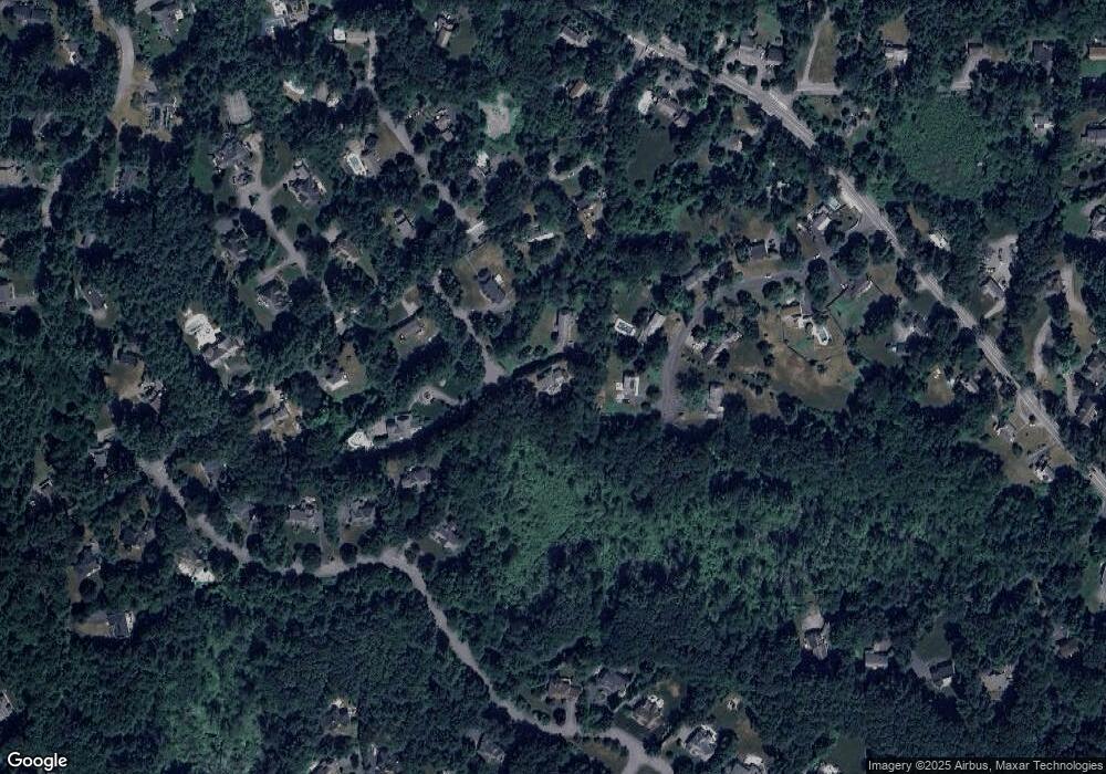
Map
Nearby Homes
- 12 Camperdown Ln
- 54 Phillips Rd
- 4 Elderberry Cir
- 55 Widow Rites Ln
- 45 Widow Rites Ln
- 36 Old Forge Ln
- 47 Fairbank Rd
- 24 Goodnow Rd
- 63 Canterbury Dr
- 5 Taintor Dr
- 166 Parker St Unit 4
- 11 Great Lake Dr
- 14 Tanbark Rd
- 21 Summer St
- 427 Concord Rd
- 270 Old Lancaster Rd
- 7 Saddle Ridge Rd
- 57 Longfellow Rd
- 250 Great Rd
- 89 Bridle Path