Estimated Value: $258,562 - $284,000
3
Beds
1
Bath
1
Sq Ft
$274,141/Sq Ft
Est. Value
About This Home
This home is located at 14 W 112th St, Grant, MI 49327 and is currently estimated at $274,141, approximately $274,141 per square foot. 14 W 112th St is a home located in Newaygo County with nearby schools including Grant Elementary School, Grant Primary Center, and Grant Middle School.
Ownership History
Date
Name
Owned For
Owner Type
Purchase Details
Closed on
Jun 22, 2018
Sold by
Francisco Ft
Bought by
Francisco Kristen
Current Estimated Value
Home Financials for this Owner
Home Financials are based on the most recent Mortgage that was taken out on this home.
Original Mortgage
$114,000
Outstanding Balance
$98,812
Interest Rate
4.6%
Mortgage Type
New Conventional
Estimated Equity
$175,329
Purchase Details
Closed on
Sep 4, 2009
Sold by
Francisco Charles E and Francisco Taryn S
Bought by
Francisco Ii Charles E
Create a Home Valuation Report for This Property
The Home Valuation Report is an in-depth analysis detailing your home's value as well as a comparison with similar homes in the area
Home Values in the Area
Average Home Value in this Area
Purchase History
| Date | Buyer | Sale Price | Title Company |
|---|---|---|---|
| Francisco Kristen | $125,000 | -- | |
| Francisco Ii Charles E | -- | -- |
Source: Public Records
Mortgage History
| Date | Status | Borrower | Loan Amount |
|---|---|---|---|
| Open | Francisco Kristen | $114,000 |
Source: Public Records
Tax History Compared to Growth
Tax History
| Year | Tax Paid | Tax Assessment Tax Assessment Total Assessment is a certain percentage of the fair market value that is determined by local assessors to be the total taxable value of land and additions on the property. | Land | Improvement |
|---|---|---|---|---|
| 2025 | $1,980 | $109,700 | $0 | $0 |
| 2024 | $8 | $94,000 | $0 | $0 |
| 2023 | $774 | $76,000 | $0 | $0 |
| 2022 | $1,815 | $69,000 | $0 | $0 |
| 2021 | $1,837 | $68,300 | $0 | $0 |
| 2020 | $1,811 | $65,200 | $0 | $0 |
| 2019 | $1,756 | $61,000 | $0 | $0 |
| 2018 | $1,288 | $52,500 | $0 | $0 |
| 2017 | $1,301 | $50,100 | $0 | $0 |
| 2016 | $1,258 | $48,000 | $0 | $0 |
| 2015 | -- | $47,400 | $0 | $0 |
| 2014 | -- | $44,900 | $0 | $0 |
Source: Public Records
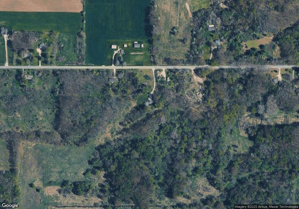
Map
Nearby Homes
- 11298 S Gordon Ave
- Lot 19 S Elder Ave
- 86 W State Rd
- 151 & 153 Clark St
- 10201 Mason Dr
- 9310 Benjamin Dr
- 9500 S Annie Ln
- 9425 S Benjamin Dr
- 1333 E Hess Lake Dr
- 1485 E Hess Lake Dr
- 2119 W 116th St
- 2308 W 112th St
- 1599 E Clearwater St
- 998 Thompson Rd
- 953 E 136th St
- 2712 E 88th St
- 0 E 88th St Unit 25061606
- 8751 Old Elm Ln
- 9263 S Ferris Ave
- 8861 S Big Buck Ln
- 38 E 112th St
- 0 112th
- 60 W 112th St
- 49 W 112th St
- 51 E 112th St
- 155 W 112th St
- 184 W 112th St
- 185 W 112th St
- 158 E 112th St
- 206 E 112th St
- 270 W 112th St
- 325 W 112th St
- 350 W 112th St
- 10815 S Mason Dr
- 356 E 112th St
- 11144 S Mason Dr
- 11286 S Mason Dr
- 11164 S Mason Dr
- 10864 S Mason Dr
- 11275 Sycamore Ave