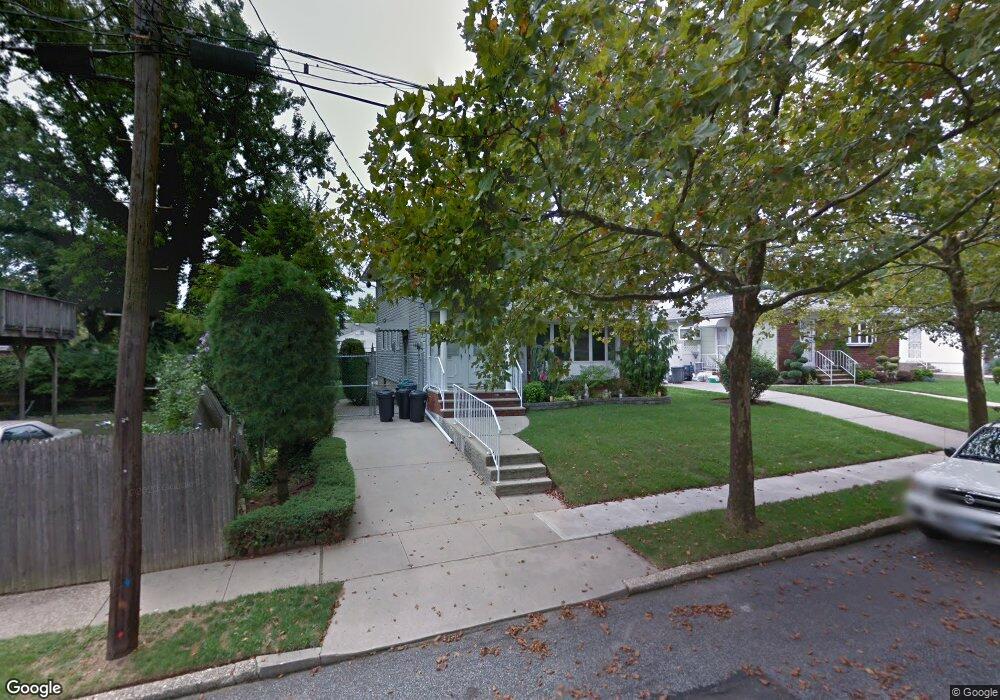
14 W Cedarview Ave Staten Island, NY 10306
Richmondtown NeighborhoodEstimated Value: $888,180 - $1,123,000
--
Bed
--
Bath
2,184
Sq Ft
$475/Sq Ft
Est. Value
About This Home
This home is located at 14 W Cedarview Ave, Staten Island, NY 10306 and is currently estimated at $1,036,795, approximately $474 per square foot. 14 W Cedarview Ave is a home located in Richmond County with nearby schools including P.S. 23 Richmondtown, Myra S. Barnes Intermediate School 24, and Susan E Wagner High School.
Ownership History
Date
Name
Owned For
Owner Type
Purchase Details
Closed on
Jul 30, 2009
Sold by
Ohanlon Rosanne
Bought by
Ohanlon Kathleen M and Ohanlon Family Premises Trust
Current Estimated Value
Purchase Details
Closed on
Nov 17, 1997
Sold by
Ohanlon Donald P and Ohanlon Rosanne
Bought by
Ohanlon Rosanne and Ohanlon Kathleen
Purchase Details
Closed on
Mar 2, 1995
Sold by
Menichella Michael and Menichella Michael G
Bought by
Ohanlon Donald P and Ohanlon Rosanne
Create a Home Valuation Report for This Property
The Home Valuation Report is an in-depth analysis detailing your home's value as well as a comparison with similar homes in the area
Home Values in the Area
Average Home Value in this Area
Purchase History
| Date | Buyer | Sale Price | Title Company |
|---|---|---|---|
| Ohanlon Kathleen M | -- | None Available | |
| Ohanlon Rosanne | -- | None Available | |
| Ohanlon Rosanne | $92,000 | Transamerica Title Ins Compa | |
| Ohanlon Donald P | $275,000 | -- |
Source: Public Records
Tax History Compared to Growth
Tax History
| Year | Tax Paid | Tax Assessment Tax Assessment Total Assessment is a certain percentage of the fair market value that is determined by local assessors to be the total taxable value of land and additions on the property. | Land | Improvement |
|---|---|---|---|---|
| 2025 | $9,298 | $62,460 | $10,741 | $51,719 |
| 2024 | $9,310 | $59,580 | $10,951 | $48,629 |
| 2023 | $9,121 | $46,310 | $10,559 | $35,751 |
| 2022 | $8,739 | $52,680 | $13,680 | $39,000 |
| 2021 | $8,813 | $46,860 | $13,680 | $33,180 |
| 2020 | $8,354 | $51,720 | $13,680 | $38,040 |
| 2019 | $8,021 | $44,940 | $13,680 | $31,260 |
| 2018 | $7,569 | $38,592 | $11,623 | $26,969 |
| 2017 | $7,381 | $37,680 | $13,680 | $24,000 |
| 2016 | $6,906 | $36,098 | $13,404 | $22,694 |
| 2015 | $6,051 | $34,056 | $10,949 | $23,107 |
| 2014 | $6,051 | $33,120 | $11,400 | $21,720 |
Source: Public Records
Map
Nearby Homes
- 159 Thomas St
- 15 Corona Ave
- 33 Boyce Ave
- 38 Corona Ave
- 236 Amber St
- 143 Wolverine St
- 256 Thomas St
- 174 Barbara St
- 175 Amber St
- 100 Savoy St Unit 1, 39, 43, 45, 46
- 14 Savoy St Unit 14
- 16 Savoy St Unit 16
- 18 Atmore Place
- 92 Boyce Ave
- 124 Barbara St
- 44 Thomas St
- 56 Wolverine St
- 98 Cotter Ave
- 265 Barbara St Unit 275
- 50 Dina Ct
- 20 W Cedarview Ave
- 300 Wilder Ave
- 103 Clarke Ave
- 107 Clarke Ave
- 109 Clarke Ave
- 99 Clarke Ave
- 111 Clarke Ave
- 11 W Cedarview Ave Unit 1
- 11 W Cedarview Ave
- 19 W Cedarview Ave
- 7 W Cedarview Ave
- 28 W Cedarview Ave
- 21 W Cedarview Ave
- 1 W Cedarview Ave
- 119 Clarke Ave
- 29 W Cedarview Ave
- 282 Wilder Ave
- 0 W Cedarview Ave Unit 1131516
- 0 W Cedarview Ave Unit 1126359