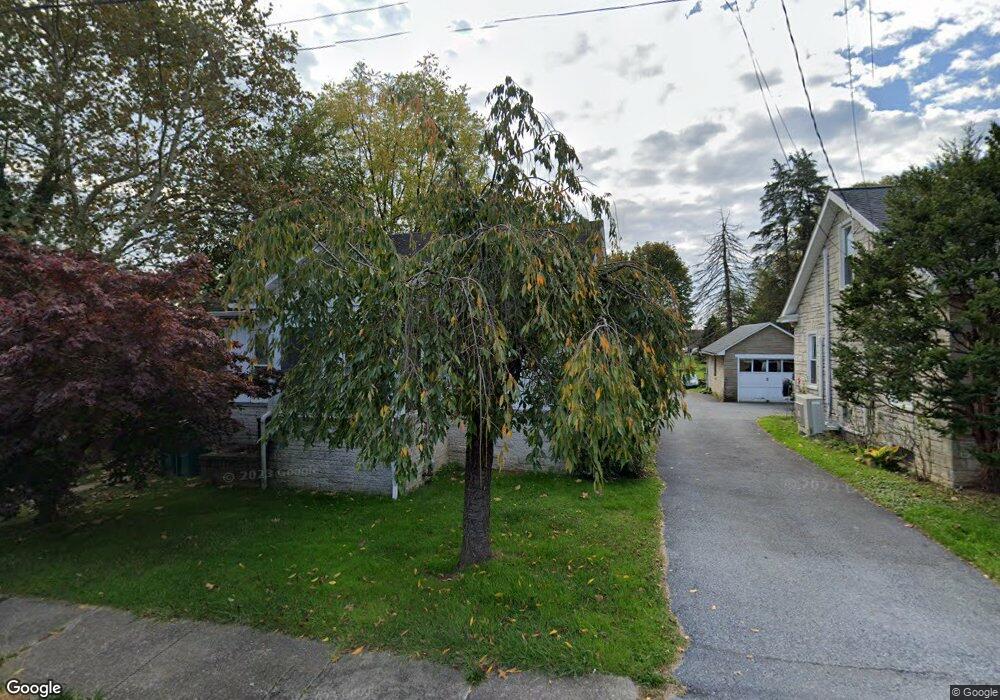
14 W Governor Rd Hershey, PA 17033
Estimated Value: $266,000 - $360,000
4
Beds
2
Baths
1,442
Sq Ft
$221/Sq Ft
Est. Value
About This Home
This home is located at 14 W Governor Rd, Hershey, PA 17033 and is currently estimated at $318,149, approximately $220 per square foot. 14 W Governor Rd is a home located in Dauphin County with nearby schools including Hershey Elementary School, Hershey Primary Elementary School, and Hershey Middle School.
Ownership History
Date
Name
Owned For
Owner Type
Purchase Details
Closed on
Jan 10, 2013
Sold by
Lawson April R
Bought by
Lawson Victor S
Current Estimated Value
Purchase Details
Closed on
Jul 20, 2004
Sold by
Speicher Susan
Bought by
Lawson Victor
Home Financials for this Owner
Home Financials are based on the most recent Mortgage that was taken out on this home.
Original Mortgage
$117,500
Interest Rate
6.28%
Mortgage Type
VA
Create a Home Valuation Report for This Property
The Home Valuation Report is an in-depth analysis detailing your home's value as well as a comparison with similar homes in the area
Home Values in the Area
Average Home Value in this Area
Purchase History
| Date | Buyer | Sale Price | Title Company |
|---|---|---|---|
| Lawson Victor S | -- | -- | |
| Lawson Victor | $115,000 | -- |
Source: Public Records
Mortgage History
| Date | Status | Borrower | Loan Amount |
|---|---|---|---|
| Previous Owner | Lawson Victor | $117,500 |
Source: Public Records
Tax History
| Year | Tax Paid | Tax Assessment Tax Assessment Total Assessment is a certain percentage of the fair market value that is determined by local assessors to be the total taxable value of land and additions on the property. | Land | Improvement |
|---|---|---|---|---|
| 2025 | $2,744 | $87,800 | $34,600 | $53,200 |
| 2024 | $2,579 | $87,800 | $34,600 | $53,200 |
| 2023 | $2,533 | $87,800 | $34,600 | $53,200 |
| 2022 | $2,477 | $87,800 | $34,600 | $53,200 |
| 2021 | $2,477 | $87,800 | $34,600 | $53,200 |
| 2020 | $2,477 | $87,800 | $34,600 | $53,200 |
| 2019 | $2,432 | $87,800 | $34,600 | $53,200 |
| 2018 | $2,368 | $87,800 | $34,600 | $53,200 |
| 2017 | $2,368 | $87,800 | $34,600 | $53,200 |
| 2016 | $0 | $87,800 | $34,600 | $53,200 |
| 2015 | -- | $87,800 | $34,600 | $53,200 |
| 2014 | -- | $87,800 | $34,600 | $53,200 |
Source: Public Records
Map
Nearby Homes
- 20 W Governor Rd
- 24 W Governor Rd
- 914 Cocoa Ave
- 7 W Govenor Rd
- 7 W Governor Rd
- 834 Cocoa Ave
- 30 W Governor Rd
- 826 Cocoa Ave
- 29 W Governor Rd
- 932 Cocoa Ave
- 42 W Governor Rd
- 37 W Governor Rd
- 820 Cocoa Ave
- 823 Linden Rd
- 43 W Governor Rd
- 813 Linden Rd
- 831 Linden Rd
- 48 W Governor Rd
- 812 Cocoa Ave
- 837 Linden Rd
Your Personal Tour Guide
Ask me questions while you tour the home.