14 Ward Rd Unit House Southborough, MA 01772
Estimated Value: $1,167,000 - $1,376,000
2
Beds
2
Baths
1,200
Sq Ft
$1,047/Sq Ft
Est. Value
About This Home
This home is located at 14 Ward Rd Unit House, Southborough, MA 01772 and is currently estimated at $1,256,022, approximately $1,046 per square foot. 14 Ward Rd Unit House is a home located in Worcester County with nearby schools including Mary E Finn School, Albert S. Woodward Memorial School, and Margaret A. Neary School.
Ownership History
Date
Name
Owned For
Owner Type
Purchase Details
Closed on
Jun 26, 2017
Sold by
Huang-Truong Lanting
Bought by
Lanting Huang-Truong R and Lanting Huang-Truong
Current Estimated Value
Purchase Details
Closed on
Jul 23, 2007
Sold by
Maconi Rt and Maconi
Bought by
Huang-Truong Lanting and Truong Timothy
Home Financials for this Owner
Home Financials are based on the most recent Mortgage that was taken out on this home.
Original Mortgage
$417,000
Interest Rate
6.54%
Mortgage Type
Purchase Money Mortgage
Purchase Details
Closed on
Jun 13, 2000
Sold by
Mconi Keith
Bought by
Maconi Rt and Maconi Roger W
Create a Home Valuation Report for This Property
The Home Valuation Report is an in-depth analysis detailing your home's value as well as a comparison with similar homes in the area
Home Values in the Area
Average Home Value in this Area
Purchase History
| Date | Buyer | Sale Price | Title Company |
|---|---|---|---|
| Lanting Huang-Truong R | -- | -- | |
| Lanting Huang-Truong R | -- | -- | |
| Lanting Huang-Truong R | -- | -- | |
| Huang-Truong Lanting | $707,500 | -- | |
| Huang-Truong Lanting | $707,500 | -- | |
| Maconi Rt | $126,000 | -- | |
| Maconi Rt | $126,000 | -- |
Source: Public Records
Mortgage History
| Date | Status | Borrower | Loan Amount |
|---|---|---|---|
| Previous Owner | Huang-Truong Lanting | $417,000 | |
| Previous Owner | Maconi Rt | $93,095 |
Source: Public Records
Tax History Compared to Growth
Tax History
| Year | Tax Paid | Tax Assessment Tax Assessment Total Assessment is a certain percentage of the fair market value that is determined by local assessors to be the total taxable value of land and additions on the property. | Land | Improvement |
|---|---|---|---|---|
| 2025 | $13,458 | $974,500 | $308,400 | $666,100 |
| 2024 | $12,679 | $911,500 | $308,400 | $603,100 |
| 2023 | $12,480 | $845,500 | $287,900 | $557,600 |
| 2022 | $11,840 | $727,300 | $257,900 | $469,400 |
| 2021 | $4,546 | $671,600 | $239,000 | $432,600 |
| 2020 | $10,854 | $651,500 | $225,200 | $426,300 |
| 2019 | $10,655 | $636,500 | $208,400 | $428,100 |
| 2018 | $765 | $604,500 | $204,500 | $400,000 |
| 2017 | $9,514 | $580,800 | $203,500 | $377,300 |
| 2016 | $8,642 | $546,300 | $201,800 | $344,500 |
| 2015 | $8,750 | $546,200 | $184,800 | $361,400 |
Source: Public Records
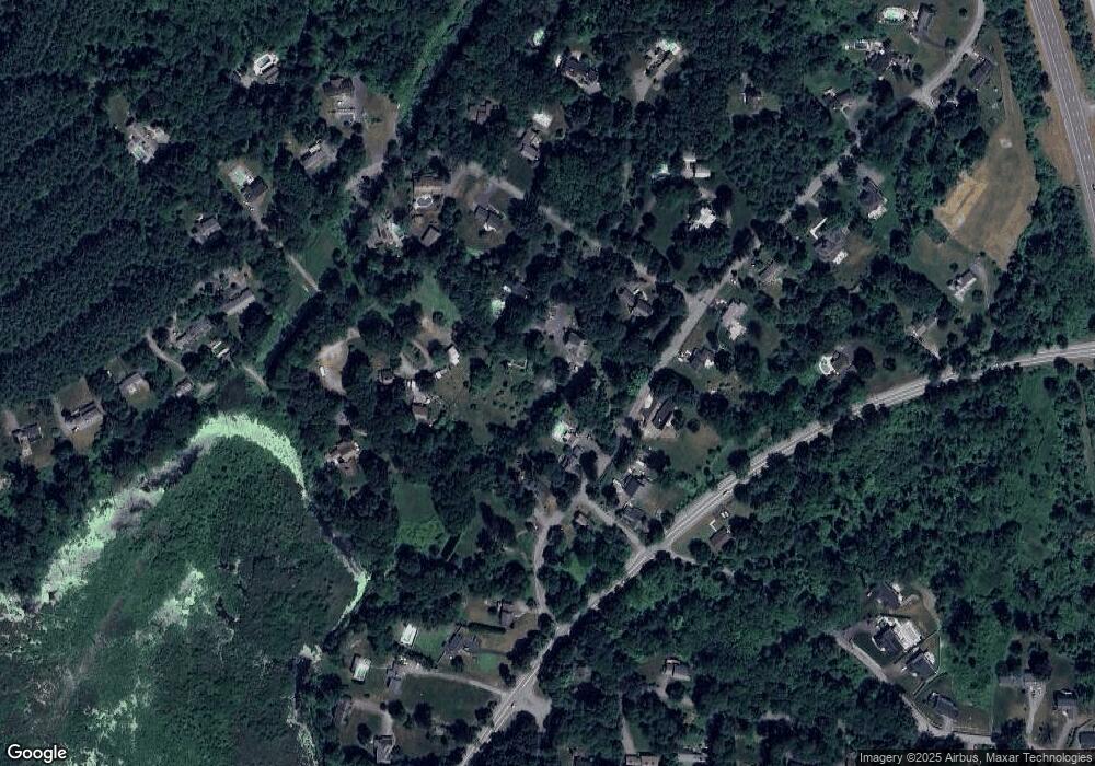
Map
Nearby Homes
- 14 High St
- 6 Walker St
- 8 Samuel Harrington Rd
- 15 Lovers Ln
- 14 Lovers Ln
- 379 Stearns Rd
- 43 Stearns Rd
- 6 Eastbrook Farm Ln
- 181 Morrissey Rd
- 120 Airport Blvd
- 56 Sears Rd
- 105 Fisher Rd
- 38 Haskell St
- lot 1 Sears Rd
- Lot 2 Quinn Rd
- 237 Brigham St
- 20 Clifford Rd
- 11302 Peters Farm Way Unit 11302
- 3112 Peters Farm Way Unit 112
- 11312 Peters Farm Way Unit 11312