14 Wells Hill Rd Easton, CT 06612
Estimated Value: $1,420,889 - $1,631,000
4
Beds
3
Baths
4,852
Sq Ft
$313/Sq Ft
Est. Value
About This Home
This home is located at 14 Wells Hill Rd, Easton, CT 06612 and is currently estimated at $1,516,972, approximately $312 per square foot. 14 Wells Hill Rd is a home located in Fairfield County with nearby schools including Samuel Staples Elementary School, Helen Keller Middle School, and Joel Barlow High School.
Ownership History
Date
Name
Owned For
Owner Type
Purchase Details
Closed on
Dec 5, 2023
Sold by
Gill Tina
Bought by
Kraus Christopher T and Stacom Darcy A
Current Estimated Value
Purchase Details
Closed on
Oct 22, 2001
Sold by
Munshani Sunil
Bought by
Munshani Tina
Purchase Details
Closed on
Apr 7, 1994
Sold by
Kelly Suzanne V
Bought by
Jethmalani Sonjoy
Create a Home Valuation Report for This Property
The Home Valuation Report is an in-depth analysis detailing your home's value as well as a comparison with similar homes in the area
Home Values in the Area
Average Home Value in this Area
Purchase History
| Date | Buyer | Sale Price | Title Company |
|---|---|---|---|
| Kraus Christopher T | $300,000 | None Available | |
| Kraus Christopher T | $300,000 | None Available | |
| Munshani Tina | $860,000 | -- | |
| Munshani Tina | $860,000 | -- | |
| Jethmalani Sonjoy | $585,000 | -- | |
| Jethmalani Sonjoy | $585,000 | -- |
Source: Public Records
Mortgage History
| Date | Status | Borrower | Loan Amount |
|---|---|---|---|
| Previous Owner | Jethmalani Sonjoy | $85,000 | |
| Previous Owner | Jethmalani Sonjoy | $600,000 |
Source: Public Records
Tax History Compared to Growth
Tax History
| Year | Tax Paid | Tax Assessment Tax Assessment Total Assessment is a certain percentage of the fair market value that is determined by local assessors to be the total taxable value of land and additions on the property. | Land | Improvement |
|---|---|---|---|---|
| 2025 | $22,069 | $711,900 | $199,780 | $512,120 |
| 2024 | $21,030 | $711,900 | $199,780 | $512,120 |
| 2023 | $20,617 | $711,900 | $199,780 | $512,120 |
| 2022 | $20,246 | $711,900 | $199,780 | $512,120 |
| 2021 | $21,225 | $656,090 | $249,650 | $406,440 |
| 2020 | $20,339 | $656,090 | $249,650 | $406,440 |
| 2019 | $20,555 | $656,090 | $249,650 | $406,440 |
| 2018 | $20,588 | $656,090 | $249,650 | $406,440 |
| 2017 | $21,900 | $656,090 | $249,650 | $406,440 |
| 2016 | $22,289 | $723,430 | $349,410 | $374,020 |
| 2015 | $21,978 | $723,430 | $349,410 | $374,020 |
| 2014 | $21,631 | $723,430 | $349,410 | $374,020 |
Source: Public Records
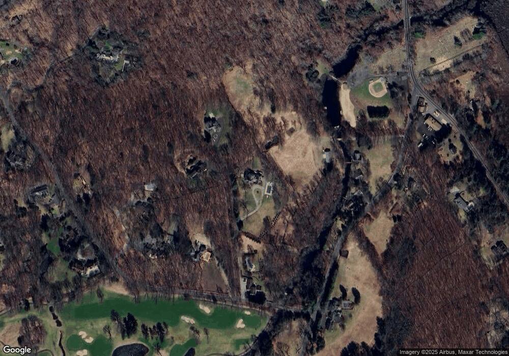
Map
Nearby Homes
- 18 Wells Hill Rd
- 354 Black Rock Turnpike
- 64 Old Redding Rd
- 3 Mayflower Ln
- 90 Redding Rd
- 80 Norton Rd
- 29 Old Stage Coach Rd
- 8 Messex Ln
- 100 E Common Rd
- 111 & 115 Old Easton Turnpike
- 4 Colony Rd
- 85-95 Old Easton Turnpike
- 191 Steep Hill Rd
- 198 Steep Hill Rd
- 76 Burr St
- 262 Lyons Plain Rd
- 260 Lyons Plain Rd
- 0 Old Easton Turnpike
- 2775 North St
- 100 Honeysuckle Hill Ln
- 20 Wells Hill Rd
- 44 Redding Rd
- 30 Wells Hill Rd
- 20 Redding Rd
- 36 Redding Rd
- 50 Wells Hill Rd
- 12 Wells Hill Rd
- 40 Wells Hill Rd
- 25 Redding Rd
- 65 Redding Rd
- 4 Wells Hill Rd
- 363 Black Rock Turnpike
- 8 Wells Hill Rd
- 68 Wells Hill Rd
- 86 Wells Hill Rd
- 70 Redding Rd
- 349 Black Rock Turnpike
- 425 Black Rock Turnpike
- 339 Black Rock Turnpike
- 16 Wells Hill Rd