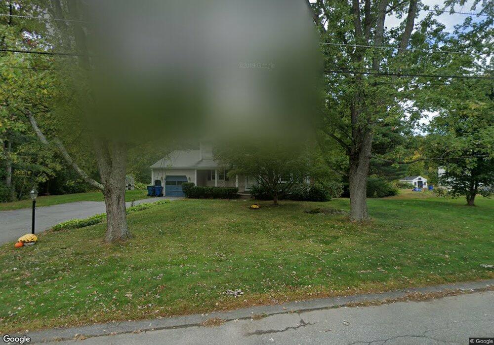
14 Westland Dr Tewksbury, MA 01876
Estimated Value: $774,000 - $825,000
4
Beds
2
Baths
1,862
Sq Ft
$428/Sq Ft
Est. Value
About This Home
This home is located at 14 Westland Dr, Tewksbury, MA 01876 and is currently estimated at $797,716, approximately $428 per square foot. 14 Westland Dr is a home located in Middlesex County with nearby schools including John F. Ryan Elementary School, John W. Wynn Middle School, and Tewksbury Memorial High School.
Ownership History
Date
Name
Owned For
Owner Type
Purchase Details
Closed on
May 12, 2025
Sold by
Puleo Michael J and Puleo Cynthia B
Bought by
Puleo Ft and Puleo
Current Estimated Value
Purchase Details
Closed on
Jul 31, 1997
Sold by
Barker Robert A and Barker Rebecca A
Bought by
Puleo Michael J and Puleo Cynthia B
Purchase Details
Closed on
Oct 5, 1988
Sold by
Martin David D
Bought by
Barker Robert A
Create a Home Valuation Report for This Property
The Home Valuation Report is an in-depth analysis detailing your home's value as well as a comparison with similar homes in the area
Home Values in the Area
Average Home Value in this Area
Purchase History
| Date | Buyer | Sale Price | Title Company |
|---|---|---|---|
| Puleo Ft | -- | None Available | |
| Puleo Ft | -- | None Available | |
| Puleo Michael J | $217,500 | -- | |
| Puleo Michael J | $217,500 | -- | |
| Barker Robert A | $199,000 | -- |
Source: Public Records
Mortgage History
| Date | Status | Borrower | Loan Amount |
|---|---|---|---|
| Previous Owner | Barker Robert A | $292,500 | |
| Previous Owner | Barker Robert A | $198,150 |
Source: Public Records
Tax History Compared to Growth
Tax History
| Year | Tax Paid | Tax Assessment Tax Assessment Total Assessment is a certain percentage of the fair market value that is determined by local assessors to be the total taxable value of land and additions on the property. | Land | Improvement |
|---|---|---|---|---|
| 2025 | $8,645 | $653,900 | $336,100 | $317,800 |
| 2024 | $8,449 | $631,000 | $320,500 | $310,500 |
| 2023 | $8,182 | $580,300 | $291,300 | $289,000 |
| 2022 | $7,504 | $493,700 | $253,400 | $240,300 |
| 2021 | $68 | $463,600 | $230,300 | $233,300 |
| 2020 | $8,182 | $440,100 | $219,400 | $220,700 |
| 2019 | $6,428 | $405,800 | $209,000 | $196,800 |
| 2018 | $6,139 | $380,600 | $209,000 | $171,600 |
| 2017 | $6,164 | $377,900 | $209,000 | $168,900 |
| 2016 | $5,955 | $364,200 | $209,000 | $155,200 |
| 2015 | $5,705 | $348,500 | $199,400 | $149,100 |
| 2014 | $5,572 | $345,900 | $209,000 | $136,900 |
Source: Public Records
Map
Nearby Homes
- 1170 Livingston St
- 399 North St
- 68 Catamount Rd
- 20 Meredith Rd
- 1117 Emerald Ct
- 11 Emerald Ct
- 1224 Emerald Ct
- 139 Prospect Hill Dr Unit Lot 15
- 51 Nolan Ct Unit 51
- 13 Berkeley
- 18 Newton Ave
- 100 Pleasant St Unit 14
- 101 Squire Ln
- 101 Bellevue Rd
- 65 Martin Rd
- 11 Orchard St
- 1325 Main
- 1334 Main St
- 69 Blanchard St
- 61 Patrick Rd