14 Whale Rd West Yarmouth, MA 02673
West Yarmouth NeighborhoodEstimated Value: $1,345,000 - $3,956,000
3
Beds
3
Baths
2,250
Sq Ft
$1,422/Sq Ft
Est. Value
About This Home
This home is located at 14 Whale Rd, West Yarmouth, MA 02673 and is currently estimated at $3,199,623, approximately $1,422 per square foot. 14 Whale Rd is a home located in Barnstable County with nearby schools including Dennis-Yarmouth Regional High School, Sturgis Charter Public School, and St. Pius X. School.
Ownership History
Date
Name
Owned For
Owner Type
Purchase Details
Closed on
Mar 15, 2019
Sold by
Hamilton Daniel H
Bought by
Wojnar Management T
Current Estimated Value
Home Financials for this Owner
Home Financials are based on the most recent Mortgage that was taken out on this home.
Original Mortgage
$1,350,000
Outstanding Balance
$1,186,880
Interest Rate
4.4%
Mortgage Type
Purchase Money Mortgage
Estimated Equity
$2,012,743
Purchase Details
Closed on
Feb 28, 2012
Sold by
Qpr M Hamilton-Ambrose
Bought by
Hamilton 3Rd Daniel H
Create a Home Valuation Report for This Property
The Home Valuation Report is an in-depth analysis detailing your home's value as well as a comparison with similar homes in the area
Home Values in the Area
Average Home Value in this Area
Purchase History
| Date | Buyer | Sale Price | Title Company |
|---|---|---|---|
| Wojnar Management T | $2,350,000 | -- | |
| Hamilton 3Rd Daniel H | -- | -- |
Source: Public Records
Mortgage History
| Date | Status | Borrower | Loan Amount |
|---|---|---|---|
| Open | Wojnar Management T | $1,350,000 |
Source: Public Records
Tax History Compared to Growth
Tax History
| Year | Tax Paid | Tax Assessment Tax Assessment Total Assessment is a certain percentage of the fair market value that is determined by local assessors to be the total taxable value of land and additions on the property. | Land | Improvement |
|---|---|---|---|---|
| 2025 | $29,269 | $4,134,000 | $3,275,500 | $858,500 |
| 2024 | $27,359 | $3,707,200 | $2,920,500 | $786,700 |
| 2023 | $24,231 | $2,987,800 | $2,271,900 | $715,900 |
| 2022 | $21,231 | $2,312,700 | $1,840,900 | $471,800 |
| 2021 | $21,300 | $2,228,000 | $1,840,900 | $387,100 |
| 2020 | $20,162 | $2,016,200 | $1,646,100 | $370,100 |
| 2019 | $20,056 | $1,985,700 | $1,646,100 | $339,600 |
| 2018 | $20,433 | $1,985,700 | $1,646,100 | $339,600 |
| 2017 | $19,897 | $1,985,700 | $1,646,100 | $339,600 |
| 2016 | $18,904 | $1,894,200 | $1,552,000 | $342,200 |
| 2015 | $19,421 | $1,934,400 | $1,552,000 | $382,400 |
Source: Public Records
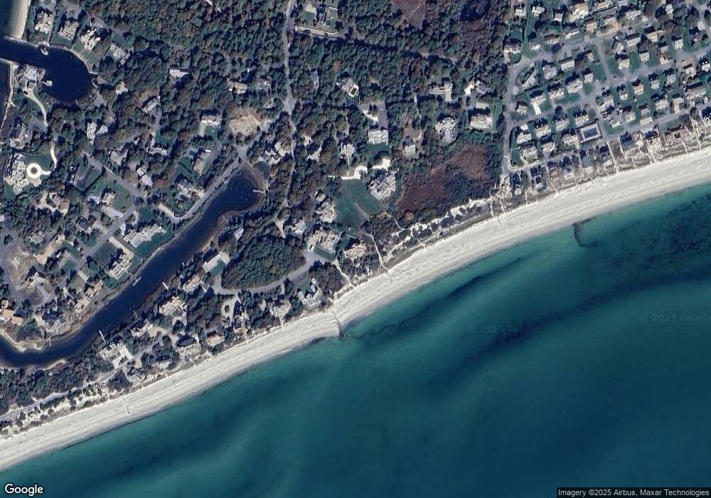
Map
Nearby Homes
- 31 Moss Rd
- 31 Moss Rd
- 286 S Sea Ave
- 10 Mark Way
- 21 Heritage Dr
- 14 Heritage Dr
- 89 Acres Ave
- 41 Yelverton Ln
- 2 Sachem Path
- 90 Broadway St Unit 92
- 90 Broadway St Unit 90
- 30 Nauset Ln
- 25-27 Merrymount Rd
- 25 & 27 Merrymount Rd
- 21 Schooner St
- 48 Jerusha Ln
- 33 Hedge Row
- 85 Baker Rd
- 130 Wimbledon Dr
- 503 Route 28 Unit 15
- 85 Whale Rd
- 10 Whale Rd
- 24 Whale Rd
- 322 Great Island Rd
- 4 Whale Rd
- 316 Great Island Rd
- 336 Great Island Rd
- 30 Whale Rd
- 327 Great Island Rd
- 11 Moss Rd
- 17 Moss Rd
- 335 Great Island Rd
- 23 Moss Rd
- 310 Great Island Rd
- 311 Great Island Rd
- 40 Whale Rd
- 42 Salt Meadow Rd
- 34 Salt Meadow Rd
- 28 Salt Meadow Rd
- 341 Great Island Rd