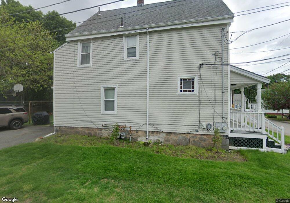
14 Williams St Unit 16 Norwood, MA 02062
Norwood Centre NeighborhoodEstimated Value: $667,000 - $774,000
4
Beds
3
Baths
1,459
Sq Ft
$483/Sq Ft
Est. Value
About This Home
This home is located at 14 Williams St Unit 16, Norwood, MA 02062 and is currently estimated at $705,006, approximately $483 per square foot. 14 Williams St Unit 16 is a home located in Norfolk County with nearby schools including Norwood High School, St Catherine Of Siena School, and Norwood Montessori School.
Ownership History
Date
Name
Owned For
Owner Type
Purchase Details
Closed on
Oct 2, 2017
Sold by
Naughton Julia
Bought by
Julia Naughton 2017 Re
Current Estimated Value
Purchase Details
Closed on
Mar 7, 2005
Sold by
Naughton Julia and Naughton Michael
Bought by
Naughton Julia
Purchase Details
Closed on
Oct 6, 1983
Bought by
Naughton Julia
Create a Home Valuation Report for This Property
The Home Valuation Report is an in-depth analysis detailing your home's value as well as a comparison with similar homes in the area
Home Values in the Area
Average Home Value in this Area
Purchase History
| Date | Buyer | Sale Price | Title Company |
|---|---|---|---|
| Julia Naughton 2017 Re | -- | -- | |
| Naughton Julia | -- | -- | |
| Naughton Julia | $45,000 | -- |
Source: Public Records
Tax History Compared to Growth
Tax History
| Year | Tax Paid | Tax Assessment Tax Assessment Total Assessment is a certain percentage of the fair market value that is determined by local assessors to be the total taxable value of land and additions on the property. | Land | Improvement |
|---|---|---|---|---|
| 2025 | $56 | $536,600 | $232,200 | $304,400 |
| 2024 | $5,021 | $479,600 | $232,200 | $247,400 |
| 2023 | $4,559 | $441,800 | $201,900 | $239,900 |
| 2022 | $4,553 | $423,500 | $183,600 | $239,900 |
| 2021 | $4,264 | $376,000 | $176,900 | $199,100 |
| 2020 | $4,084 | $366,300 | $176,900 | $189,400 |
| 2019 | $3,752 | $344,500 | $168,500 | $176,000 |
| 2018 | $3,665 | $330,500 | $160,500 | $170,000 |
| 2017 | $3,441 | $308,600 | $160,500 | $148,100 |
| 2016 | $3,297 | $296,500 | $160,500 | $136,000 |
| 2015 | $3,046 | $265,600 | $153,200 | $112,400 |
| 2014 | $2,830 | $244,400 | $140,200 | $104,200 |
Source: Public Records
Map
Nearby Homes
- 1 Lenox St Unit 312
- 1 Lenox St Unit 115
- 49 Railroad Ave
- 68-70 Adams St
- 232-234 Nahatan St
- 1 Walkhill Rd
- 253 Nahatan St Unit 11
- 86 Hill St
- 301 Neponset St Unit 25
- 232 Rock St
- 28 Shaw St
- 785 Washington St Unit 206
- 785 Washington St Unit 207
- 11 Beacon Park Rd
- 42 Queensboro Ct Unit 42
- 19-21
- 365 Washington St Unit 4
- 85 Casey St
- 135 Cottage St Unit 2
- 868 Washington St
- 18 Williams St
- 10 Williams St
- 9 Clark St
- 60 Lenox St Unit 7
- 60 Lenox St Unit 6
- 60 Lenox St Unit 3
- 60 Lenox St
- 60 Lenox St Unit 9
- 60 Lenox St Unit 8
- 60 Lenox St Unit 18
- 60 Lenox St Unit 2
- 60 Lenox St Unit 4
- 9 K St
- 88 Railroad Ave
- 92 Railroad Ave
- 19 Williams St
- 7 Williams St
- 86 Railroad Ave
- 82 Railroad Ave
- 23 Williams St