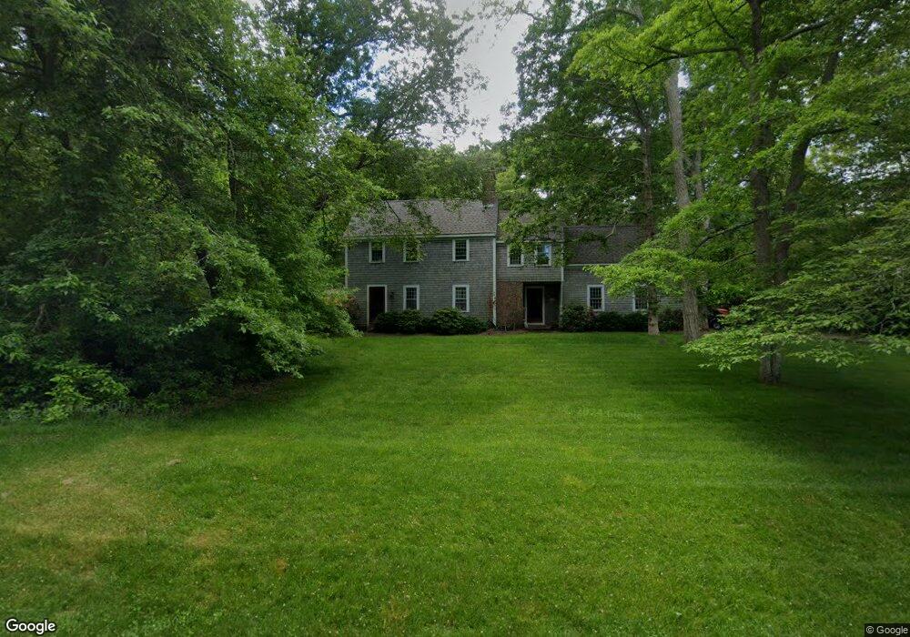
14 Wolf Hill Rd East Sandwich, MA 02537
Estimated Value: $678,499 - $847,000
4
Beds
2
Baths
1,899
Sq Ft
$421/Sq Ft
Est. Value
About This Home
This home is located at 14 Wolf Hill Rd, East Sandwich, MA 02537 and is currently estimated at $800,375, approximately $421 per square foot. 14 Wolf Hill Rd is a home located in Barnstable County with nearby schools including Sandwich Middle High School and Riverview School.
Ownership History
Date
Name
Owned For
Owner Type
Purchase Details
Closed on
Mar 6, 2015
Sold by
Colwell Bruce M and Colwell Anne B
Bought by
Colwell Bruce M
Current Estimated Value
Purchase Details
Closed on
Apr 23, 2014
Sold by
Colwell Bruce M and Colwell Anne B
Bought by
Colwell Bruce M
Home Financials for this Owner
Home Financials are based on the most recent Mortgage that was taken out on this home.
Original Mortgage
$280,000
Interest Rate
4.36%
Mortgage Type
New Conventional
Purchase Details
Closed on
Mar 15, 1994
Sold by
Ncua
Bought by
Colwell Bruce M and Colwell Anne B
Purchase Details
Closed on
Aug 30, 1993
Sold by
Mulreni Brian C
Bought by
Natl Cr Un Adm Board
Create a Home Valuation Report for This Property
The Home Valuation Report is an in-depth analysis detailing your home's value as well as a comparison with similar homes in the area
Home Values in the Area
Average Home Value in this Area
Purchase History
| Date | Buyer | Sale Price | Title Company |
|---|---|---|---|
| Colwell Bruce M | -- | -- | |
| Colwell Bruce M | -- | -- | |
| Colwell Bruce M | $162,000 | -- | |
| Natl Cr Un Adm Board | $122,500 | -- |
Source: Public Records
Mortgage History
| Date | Status | Borrower | Loan Amount |
|---|---|---|---|
| Previous Owner | Colwell Bruce M | $280,000 | |
| Previous Owner | Natl Cr Un Adm Board | $260,000 | |
| Previous Owner | Natl Cr Un Adm Board | $120,000 |
Source: Public Records
Tax History Compared to Growth
Tax History
| Year | Tax Paid | Tax Assessment Tax Assessment Total Assessment is a certain percentage of the fair market value that is determined by local assessors to be the total taxable value of land and additions on the property. | Land | Improvement |
|---|---|---|---|---|
| 2025 | $5,532 | $523,400 | $135,700 | $387,700 |
| 2024 | $5,281 | $489,000 | $121,200 | $367,800 |
| 2023 | $5,170 | $449,600 | $110,200 | $339,400 |
| 2022 | $5,223 | $396,900 | $124,600 | $272,300 |
| 2021 | $4,993 | $362,600 | $119,800 | $242,800 |
| 2020 | $5,057 | $353,400 | $123,100 | $230,300 |
| 2019 | $4,910 | $342,900 | $126,900 | $216,000 |
| 2018 | $4,539 | $317,600 | $116,700 | $200,900 |
| 2017 | $4,740 | $317,500 | $129,900 | $187,600 |
| 2016 | $4,386 | $303,100 | $125,200 | $177,900 |
| 2015 | $4,308 | $290,700 | $115,800 | $174,900 |
Source: Public Records
Map
Nearby Homes
- 50 Wayside Ln
- 6 Harpers Hollow
- 718 Cedar St
- 75 Old Toll Rd
- 14 Village Dr
- 46 Chase Rd
- 515 Cedar St
- 510 Cedar St
- 665 Route 6a
- 3 Mulberry Cir
- 159 Great Hill Rd
- 0 Captain Kidd Rd
- 507 Massachusetts 6a Unit 9
- 2400 Meetinghouse Way
- 7 Highfield Dr
- 36 Atkins Rd Unit D2
- 420 Massachusetts 6a
- 49 Atkins Rd
- 49 Atkins Rd
- 203 N Shore Blvd Unit D