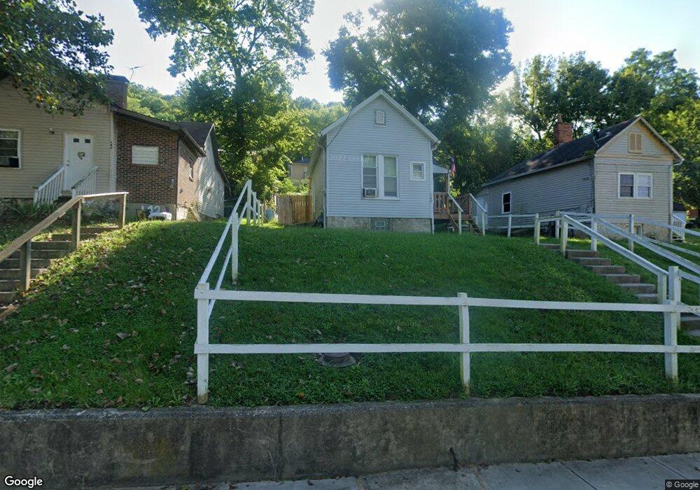
140 1st St Addyston, OH 45001
Estimated Value: $54,000 - $111,000
1
Bed
1
Bath
588
Sq Ft
$148/Sq Ft
Est. Value
About This Home
This home is located at 140 1st St, Addyston, OH 45001 and is currently estimated at $87,157, approximately $148 per square foot. 140 1st St is a home with nearby schools including Charles T. Young Elementary School, Taylor Middle School, and Taylor High School.
Ownership History
Date
Name
Owned For
Owner Type
Purchase Details
Closed on
May 20, 2025
Sold by
Borden Steven W
Bought by
Linville Pamela
Current Estimated Value
Purchase Details
Closed on
Apr 16, 2025
Sold by
Fell Zoie
Bought by
Borden Steven W
Purchase Details
Closed on
Feb 18, 2025
Sold by
Borden Steven W
Bought by
Fell Zoie
Purchase Details
Closed on
Dec 17, 2019
Sold by
Oherron Robert
Bought by
Borden Steven W
Purchase Details
Closed on
Jun 13, 2019
Sold by
Getz Ralph and Doe Jane
Bought by
Herron Robert O
Create a Home Valuation Report for This Property
The Home Valuation Report is an in-depth analysis detailing your home's value as well as a comparison with similar homes in the area
Home Values in the Area
Average Home Value in this Area
Purchase History
| Date | Buyer | Sale Price | Title Company |
|---|---|---|---|
| Linville Pamela | $38,360 | None Listed On Document | |
| Linville Pamela | $38,360 | None Listed On Document | |
| Borden Steven W | $36,380 | None Listed On Document | |
| Borden Steven W | $36,380 | None Listed On Document | |
| Fell Zoie | -- | None Listed On Document | |
| Fell Zoie | -- | None Listed On Document | |
| Borden Steven W | $15,160 | None Available | |
| Herron Robert O | $5,447 | None Available |
Source: Public Records
Tax History
| Year | Tax Paid | Tax Assessment Tax Assessment Total Assessment is a certain percentage of the fair market value that is determined by local assessors to be the total taxable value of land and additions on the property. | Land | Improvement |
|---|---|---|---|---|
| 2025 | $674 | $13,434 | $1,467 | $11,967 |
| 2024 | $607 | $13,434 | $1,467 | $11,967 |
| 2023 | $600 | $13,434 | $1,467 | $11,967 |
| 2022 | $382 | $6,839 | $1,365 | $5,474 |
| 2021 | $296 | $5,306 | $1,365 | $3,941 |
| 2020 | $290 | $5,306 | $1,365 | $3,941 |
| 2019 | $312 | $5,307 | $1,467 | $3,840 |
| 2018 | $744 | $5,307 | $1,467 | $3,840 |
| 2017 | $1,038 | $5,307 | $1,467 | $3,840 |
| 2016 | $962 | $5,737 | $1,530 | $4,207 |
| 2015 | $667 | $5,737 | $1,530 | $4,207 |
| 2014 | $4 | $5,737 | $1,530 | $4,207 |
| 2013 | $4 | $5,737 | $1,530 | $4,207 |
Source: Public Records
Map
Nearby Homes
- 68 2nd St
- 101 Main St
- 210 Sekitan Ave
- 7516 Donegal Dr
- 81 Main St
- 7511 Donegal Dr
- 3049 Barnbougle Dr
- 3036 Barnbougle Dr
- 2850 Buckridge Dr
- 2 Quarry Rd
- 2794 Buckridge Dr
- 2759 Buckridge Dr
- 2735 Buckridge Dr
- 8337 War Admiral Dr
- Lot 28 Southpointe Dr
- 7284 Kirkridge Dr
- 633 Rivershore Dr
- 7126 River Rd
- 1737 Coachtrail Dr
- 720 Broomtail Ln
Your Personal Tour Guide
Ask me questions while you tour the home.