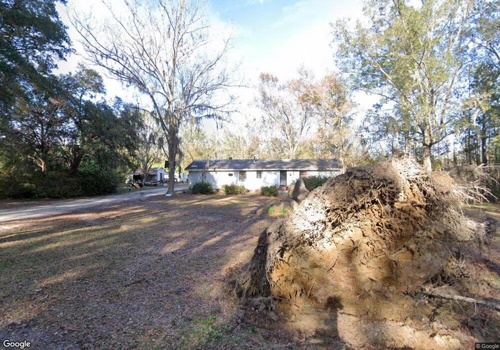
140 Allie Blount Rd Fleming, GA 31309
Estimated Value: $207,006 - $315,000
3
Beds
2
Baths
1,440
Sq Ft
$176/Sq Ft
Est. Value
About This Home
This home is located at 140 Allie Blount Rd, Fleming, GA 31309 and is currently estimated at $253,502, approximately $176 per square foot. 140 Allie Blount Rd is a home located in Liberty County with nearby schools including Joseph Martin Elementary School, Midway Middle School, and Liberty County High School.
Ownership History
Date
Name
Owned For
Owner Type
Purchase Details
Closed on
Jul 2, 2025
Sold by
Holmes Timothy A
Bought by
Gerrald Richard Mark
Current Estimated Value
Purchase Details
Closed on
Jan 9, 2008
Sold by
Hodges David E
Bought by
Holmes Timothy A
Home Financials for this Owner
Home Financials are based on the most recent Mortgage that was taken out on this home.
Original Mortgage
$75,000
Interest Rate
6.06%
Mortgage Type
New Conventional
Purchase Details
Closed on
Jan 7, 2000
Sold by
Horton Jane B Etal
Bought by
Lewis Gary Michael
Purchase Details
Closed on
Feb 22, 1999
Sold by
Blount Warren E
Bought by
Horton Jane B Etal
Purchase Details
Closed on
Nov 21, 1977
Bought by
Blount Warren E
Create a Home Valuation Report for This Property
The Home Valuation Report is an in-depth analysis detailing your home's value as well as a comparison with similar homes in the area
Purchase History
| Date | Buyer | Sale Price | Title Company |
|---|---|---|---|
| Gerrald Richard Mark | $60,000 | -- | |
| Holmes Timothy A | -- | -- | |
| Holmes Timothy A | $75,000 | -- | |
| Lewis Gary Michael | $45,000 | -- | |
| Horton Jane B Etal | -- | -- | |
| Blount Warren E | $1,200 | -- |
Source: Public Records
Mortgage History
| Date | Status | Borrower | Loan Amount |
|---|---|---|---|
| Previous Owner | Holmes Timothy A | $75,000 |
Source: Public Records
Tax History
| Year | Tax Paid | Tax Assessment Tax Assessment Total Assessment is a certain percentage of the fair market value that is determined by local assessors to be the total taxable value of land and additions on the property. | Land | Improvement |
|---|---|---|---|---|
| 2025 | $2,054 | $45,224 | $6,237 | $38,987 |
| 2024 | $2,054 | $43,815 | $6,237 | $37,578 |
| 2023 | $1,987 | $39,633 | $6,237 | $33,396 |
| 2022 | $1,468 | $33,615 | $6,237 | $27,378 |
| 2021 | $1,363 | $31,015 | $6,237 | $24,778 |
| 2020 | $1,372 | $31,377 | $6,237 | $25,140 |
| 2019 | $1,354 | $31,739 | $6,237 | $25,502 |
| 2018 | $1,353 | $32,101 | $6,237 | $25,864 |
| 2017 | $1,069 | $32,463 | $6,237 | $26,226 |
| 2016 | $1,295 | $32,824 | $6,237 | $26,588 |
| 2015 | $1,346 | $31,632 | $5,045 | $26,588 |
| 2014 | $1,346 | $33,935 | $5,906 | $28,029 |
| 2013 | -- | $31,210 | $5,344 | $25,866 |
Source: Public Records
Map
Nearby Homes
- 0 Cherry Ln
- 0 Leroy Coffer Hwy Unit SA349938
- 70 Pate Rogers Rd
- 69 Babe Landon Ln
- 352 Oak Hampton Rd
- 8454 Ga 17 Hwy
- 4577 N Coastal Hwy
- 13 Tarbert Cut
- 212 Sand Dollar Dr
- 4577 N Coastal Hwy
- 1316 Wilkins Rd
- 435 Wilkins Rd
- 195 Wilkins Rd
- 455 Tondee Way
- 212 Tondee Way
- 776 Phillips Rd
- 36 Tawny Ct
- 263 Abbey Dr
- TBD Hwy 17 W
- 0 Oak Ct Unit SA331468
- 76 Allie Blount Rd
- 83 Allie Blount Rd
- 455 Mount Olivet Church Rd
- 579 Mount Olivet Church Rd
- 455 Mt Olivet Church Rd
- 554 Mount Olivet Church Rd
- 404 Mount Olivet Church Rd
- 335 Mount Olivet Church Rd
- 374 Mount Olivet Church Rd
- 267 Mount Olivet Church Rd
- 334 Mount Olivet Church Rd
- 288 Mount Olivet Church Rd
- 238 Mount Olivet Church Rd
- 225 Mount Olivet Church Rd
- 225 Mount Olivet Church Rd
- 0 Mt Olivet Church Rd Unit 7035009
- 0 Mt Olivet Church Rd Unit 3259277
- 0 Mt Olivet Church Rd Unit 33186
- 176 Mount Olivet Church Rd
- 484 Allie Blount Rd
Your Personal Tour Guide
Ask me questions while you tour the home.