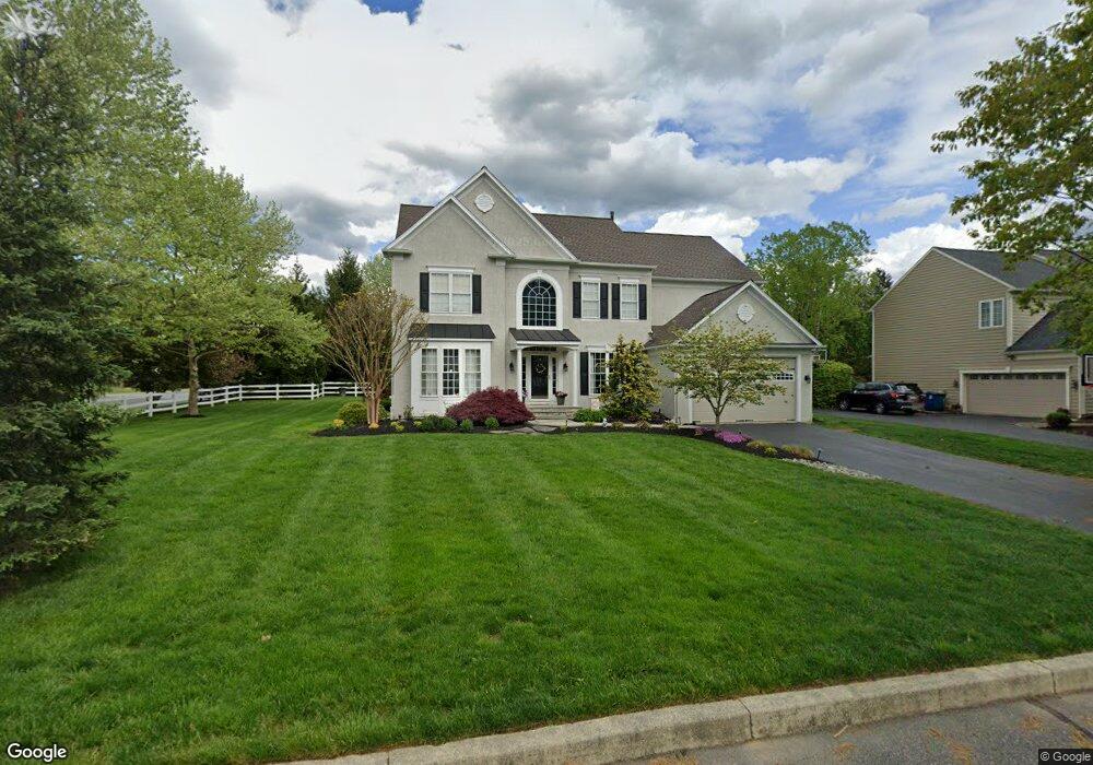
140 Applegate Dr West Chester, PA 19382
Estimated Value: $1,050,000 - $1,226,000
4
Beds
5
Baths
6,000
Sq Ft
$189/Sq Ft
Est. Value
About This Home
This home is located at 140 Applegate Dr, West Chester, PA 19382 and is currently estimated at $1,136,240, approximately $189 per square foot. 140 Applegate Dr is a home located in Chester County with nearby schools including Westtown-Thornbury Elementary School, Stetson Middle School, and Bayard Rustin High School.
Ownership History
Date
Name
Owned For
Owner Type
Purchase Details
Closed on
Nov 29, 2011
Sold by
Hayes Edward H and Hayes Michele
Bought by
Griest Christopher M and Griest Lisa A
Current Estimated Value
Home Financials for this Owner
Home Financials are based on the most recent Mortgage that was taken out on this home.
Original Mortgage
$415,000
Outstanding Balance
$285,112
Interest Rate
4.1%
Mortgage Type
New Conventional
Estimated Equity
$851,128
Create a Home Valuation Report for This Property
The Home Valuation Report is an in-depth analysis detailing your home's value as well as a comparison with similar homes in the area
Home Values in the Area
Average Home Value in this Area
Purchase History
| Date | Buyer | Sale Price | Title Company |
|---|---|---|---|
| Griest Christopher M | $585,000 | Commonwealth Land Title Insu |
Source: Public Records
Mortgage History
| Date | Status | Borrower | Loan Amount |
|---|---|---|---|
| Open | Griest Christopher M | $415,000 |
Source: Public Records
Tax History Compared to Growth
Tax History
| Year | Tax Paid | Tax Assessment Tax Assessment Total Assessment is a certain percentage of the fair market value that is determined by local assessors to be the total taxable value of land and additions on the property. | Land | Improvement |
|---|---|---|---|---|
| 2025 | $8,750 | $301,840 | $50,510 | $251,330 |
| 2024 | $8,750 | $301,840 | $50,510 | $251,330 |
| 2023 | $8,750 | $301,840 | $50,510 | $251,330 |
| 2022 | $8,636 | $301,840 | $50,510 | $251,330 |
| 2021 | $8,516 | $301,840 | $50,510 | $251,330 |
| 2020 | $8,461 | $301,840 | $50,510 | $251,330 |
| 2019 | $8,343 | $301,840 | $50,510 | $251,330 |
| 2018 | $8,166 | $301,840 | $50,510 | $251,330 |
| 2017 | $7,989 | $301,840 | $50,510 | $251,330 |
| 2016 | $8,776 | $301,840 | $50,510 | $251,330 |
| 2015 | $8,776 | $301,840 | $50,510 | $251,330 |
| 2014 | $8,776 | $301,840 | $50,510 | $251,330 |
Source: Public Records
Map
Nearby Homes
- 45 Sawmill Ct
- 47 Sawmill Ct
- 878 Empress Rd
- 859 Empress Rd
- 501 Glen Ave
- 404 Warren Rd
- 1114 Stoneybrook Ln
- 809 Amelia Dr
- 602 Bowers Dr
- 924 Trellis Ln
- 222 Westtown Way
- 400 Falcon Ln
- 1626 S Coventry Ln
- 521 Valley Dr Unit 521
- 1920 Valley Dr
- 2613 Eagle Rd Unit 2613
- 4 New Countryside Dr
- 1549 S Coventry Ln
- 1018 Ashley Rd
- 301 Westtown Way
- 138 Applegate Dr
- 144 Applegate Dr
- 136 Applegate Dr
- 848 Topaz Dr
- 112 Berwick Dr
- 110 Berwick Dr
- 146 Applegate Dr
- 134 Applegate Dr
- 889 Empress Rd
- 846 Topaz Dr
- 849 Topaz Dr
- 114 Berwick Dr
- 108 Berwick Dr
- 887 Empress Rd
- 132 Applegate Dr
- 148 Applegate Dr
- 116 Berwick Dr
- 847 Topaz Dr
- 885 Empress Rd
- 305 Fallen Timbers Ln